Old Maps of Hobe Sound, Florida for Academic Research
Study the evolution of Hobe Sound with 13 high-resolution historic maps. Whether you're teaching, researching, or modeling changes in land use, these maps provide essential visual documentation of urban, environmental, and geographic change.
- Analyze long-term change: Track patterns in development, transportation, and natural features.
- Ideal for environmental or urban studies: Support academic projects with primary historical map data.
- Use in the classroom or lab: Educators and researchers rely on these maps to bring historical context to life.
These maps are a powerful tool for teaching, research, and visualizing how Hobe Sound has changed over the decades.
Hobe Sound, FL maps
(13)- 1948 Map of Gomez, 1958 Print
 1948 Gomez1958 Print · USGSThe Florida Treasure Coast comes into focus in the years after the war, showing the distinct early footprints of Gomez and Hobe Sound. Trace the coastal development along the Florida East Coast railway or find local landmarks like the Hobe Sound Ch and the expansive Jupiter State Park.5 unique versions available
 - 1949 Map of Gomez
 1949 Gomez1949 Print · USGSCoastal Martin County comes into focus in the late 1940s, showing the early infrastructure of the Atlantic seaboard and the large historical land grants. Researchers can trace the development of Hobe Sound and Gomez alongside the Florida East Coast rail line and Peck Lake.2 unique versions available
 - 1956 Map of Fort Pierce, 1965 Print
 1956 Fort Pierce1965 Print · USGSCentral and coastal Florida appear here during a period of rapid post-war growth and industrial expansion. Researchers can trace the mid-century rail-to-highway transition along the Sunshine State Parkway or locate old settlements like Ankona, Walton, and Indrio.4 unique versions available
 - 1958 Map of Fort Pierce
 1958 Fort Pierce1958 Print · USGSCentral and South Florida are captured here in the late fifties as the citrus and ranching interior met the modern highway era. Researchers can trace the early path of the Sunshine State Parkway and locate established rail depots in Sebring, Okeechobee, and Arcadia.
 - 1959 Map of Fort Pierce
 1959 Fort Pierce1959 Print · USGSCentral Florida and the Treasure Coast are shown here in the late fifties, during a period of steady citrus and coastal growth. Trace the historic routes of the Florida East Coast Ry or locate the boundaries of the Seminole Indian Reservation and Highlands Hammock State Park.3 unique versions available
 - 1981 Map of Fort Pierce, 1982 Print
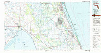 1981 Fort Pierce1982 Print · USGSFlorida's Treasure Coast and the northern rim of the Everglades are caught in a period of significant growth during the early eighties. Genealogists and historians can trace the rail-side development of White City and Eden or the water-management history of the St Lucie Canal.
 - 1986 Map of Fort Pierce
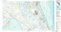 1986 Fort Pierce1986 Print · USGSSoutheast Florida’s Atlantic coast and inland waterways are captured in the mid-1980s as suburban development began to press against the agricultural interior. Trace the path of the Florida East Coast Railway through Fort Pierce or locate family sites near Evergreen Cem and White City.
 - 1988 Map of Fort Pierce
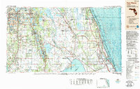 1988 Fort Pierce1988 Print · USGSThe Atlantic coast and Florida’s interior lakelands are captured in the late eighties, just as the Treasure Coast was experiencing rapid development. Genealogists and historians can trace the rail lines of the Florida East Coast and explore the bounds of the Brighton Indian Reservation.
 - 2012 Map of Gomez, 2012 Print
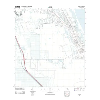 2012 Gomez2012 Print · USGSMartin County's Atlantic coast and the community of Gomez are shown here in the early 2000s, just as the region's suburban character was firmly established. Genealogists and researchers can trace the development of Poinciana Gardens and locate the campus of Hope Sound Bible College near the South Jupiter Narrows.
 - 2015 Map of Gomez, 2015 Print
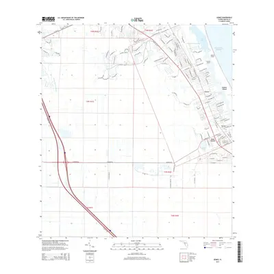 2015 Gomez2015 Print · USGSThe Atlantic coast and Intracoastal Waterway are captured in this 2015 study of the Martin County shoreline. Genealogists and local historians can trace the residential growth of Gomez and Hobe Sound, or locate landmarks like Hobe Sound Bible Coll and Peck Lake.
 - 2018 Map of Gomez, 2018 Print
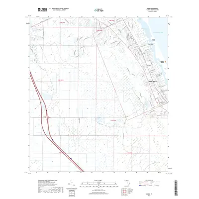 2018 Gomez2018 Print · USGSThe Florida coast near Jupiter Island is documented here just before the end of the twenty-tens, showing the residential growth around Hobe Sound. Trace the local shoreline and settlements like Gomez or the campus of Hobe Sound Bible College.
 - 2021 Map of Gomez, 2021 Print
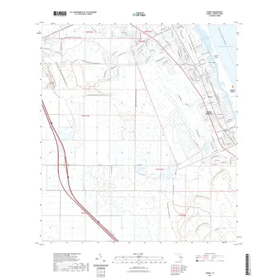 2021 Gomez2021 Print · USGSThe coastal corridor of Martin County comes alive in this contemporary survey of Gomez and the surrounding barrier islands. Trace the intricate waterways of the Indian River Lagoon and local landmarks like the Hobe Sound Bible College and Corset Island.
 - 2024 Map of Gomez, 2024 Print
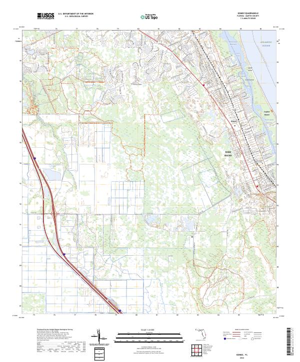 2024 Gomez2024 Print · USGSCoastal Martin County in the 2020s is a landscape of protected barrier islands and evolving mainland communities. Traces of local history and modern growth appear alongside landmarks like Gomez, the Hobe Sound Bible College, and the waters of Peck Lake.
End of results
Showing maps 1-13 of 13
Top cities near Hobe Sound
- Port Saint Lucie historical maps
- West Palm Beach historical maps
- Jupiter historical maps
- Stuart historical maps
- Jensen Beach historical maps
- Port Salerno historical maps
See more
Frequently asked questions
- What are the different types of historical maps available for Hobe Sound?
- What is the oldest map of Hobe Sound?
- Where can I purchase historical maps of Hobe Sound for my home or office?
- Where can I download high-res historical maps of Hobe Sound?
- Are there historical topographic maps available for Hobe Sound?
- Is there historical aerial imagery available for Hobe Sound?
- Where are historical maps of Hobe Sound sourced from?