2020s Maps of Jupiter Island, Florida
Explore 6 historic maps of Jupiter Island from the 2020s. These maps offer a rare glimpse into what life looked like during the 2020s — showing old roads, neighborhoods, homes, and landmarks that have changed or disappeared over time.
Whether you're researching your family's past, planning a metal detecting trip, or studying how Jupiter Island's landscape evolved across the 2020s, these high-resolution maps are a powerful tool for exploring the history of this region.
- Focus on a specific era: All maps on this page are from the 2020s, giving you a focused view of this time period.
- See what’s changed: Compare century-old streets, trails, and buildings to today's modern landscape using overlays and satellite layers.
- Research with precision: Use these maps for genealogy, historical research, land use analysis, or educational projects.
- View, download, or print: Maps are fully viewable online in high resolution, and can be downloaded or printed for your own records.
Start exploring Jupiter Island's history through authentic maps from the 2020s. This is your window into the past.
Jupiter Island, FL maps
(6)- 2021 Map of Hobe Sound, 2021 Print
 2021 Hobe Sound2021 Print · USGSCovers Jupiter Island, including Martin County, United States, and other nearby areas
 - 2021 Map of Jupiter, 2021 Print
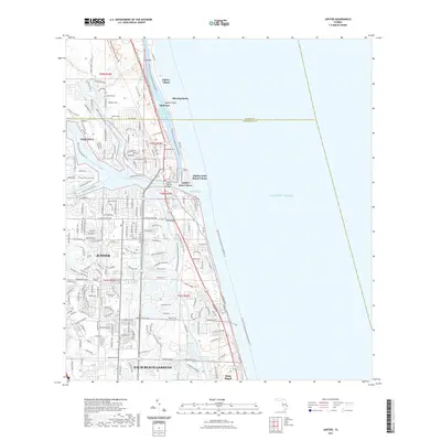 2021 Jupiter2021 Print · USGSCovers Jupiter Island, including Jupiter, Tequesta, and other nearby areas
 - 2021 Map of Gomez, 2021 Print
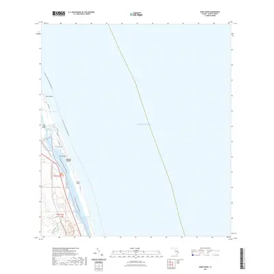
 2021 Gomez2021 Print · USGSCovers Jupiter Island, including Gomez, Hobe Sound, and other nearby areas
 - 2024 Map of Jupiter, 2024 Print
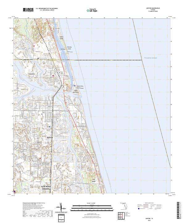 2024 Jupiter2024 Print · USGSThe Florida coast near the Martin County line comes into focus in this contemporary study of the Jupiter area and its intricate waterways. Trace the modern layout of Tequesta, Juno Beach, and Palm Beach Gardens alongside landmarks like Riverside Memorial Park and Blowing Rocks.
 - 2024 Map of Hobe Sound, 2024 Print
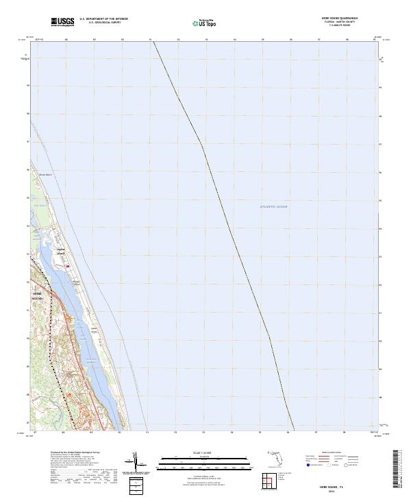 2024 Hobe Sound2024 Print · USGSCoastal Martin County is mapped here during the early twenty-first century, showcasing the preserved barrier islands and estuaries. Genealogists and historians can trace the boundaries of Jonathan Dickinson State Park and the estates of Jupiter Island.
 - 2024 Map of Gomez, 2024 Print
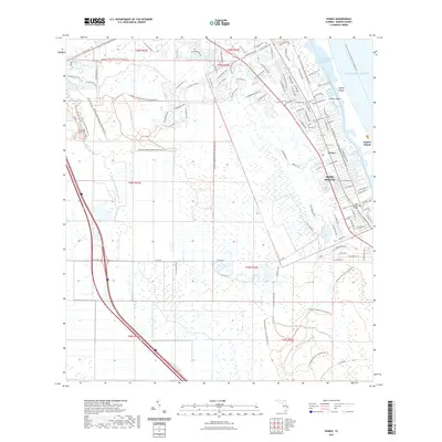
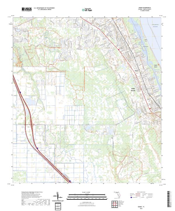 2024 Gomez2024 Print · USGSCoastal Martin County in the 2020s is a landscape of protected barrier islands and evolving mainland communities. Traces of local history and modern growth appear alongside landmarks like Gomez, the Hobe Sound Bible College, and the waters of Peck Lake.
End of results
Showing maps 1-6 of 6
Top cities near Jupiter Island
- Port Saint Lucie historical maps
- West Palm Beach historical maps
- Palm Beach Gardens historical maps
- Jupiter historical maps
- Stuart historical maps
- North Palm Beach historical maps
See more
Frequently asked questions
- What are the different types of historical maps available for Jupiter Island?
- What is the oldest map of Jupiter Island?
- Where can I purchase historical maps of Jupiter Island for my home or office?
- Where can I download high-res historical maps of Jupiter Island?
- Are there historical topographic maps available for Jupiter Island?
- Is there historical aerial imagery available for Jupiter Island?
- Where are historical maps of Jupiter Island sourced from?