Old Maps of Martin County, Florida
Explore 41 old maps of Martin County, spanning from 1948 to today. These high-resolution historic maps reveal how streets, neighborhoods, landmarks, and natural features evolved over time — perfect for genealogy, metal detecting, research, and local history exploration.
What you can do with these maps:
- See how Martin County changed over time: Compare historical maps to modern-day views to trace roads, homesites, rail lines & more.
- View detailed metadata: Each map includes creators, publishers, year, scale, and archive source.
- Overlay maps with satellite & LiDAR: Visualize the past alongside modern tools to explore terrain & human change.
- Trusted historical sources: Maps sourced from the USGS, Library of Congress, and other archives.
- Access maps your way: View online, download high-res files, or order prints for personal or research use.
Start exploring old maps of Martin County to uncover forgotten places, hidden landmarks, and the deep history beneath your feet.
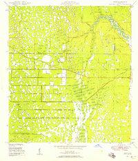
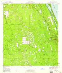
Martin County, FL maps
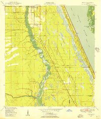
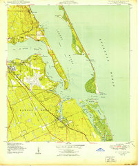
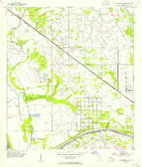
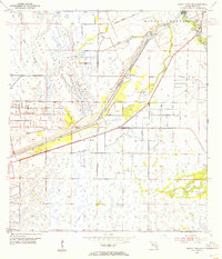
(41)- 1948 Map of Palm City, 1956 Print
 1948 Palm City1956 Print · USGSCovers Martin County, including Port Saint Lucie, Stuart, and other nearby areas5 unique versions available
 - 1948 Map of Ankona, 1956 Print
 1948 Ankona1956 Print · USGSCovers Martin County, including Port Saint Lucie, Jensen Beach, and other nearby areas4 unique versions available
 - 1948 Map of Rood, 1958 Print
 1948 Rood1958 Print · USGSCovers Martin County, including Tequesta, Tequesta, and other nearby areas5 unique versions available
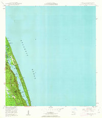
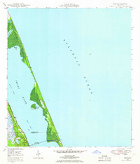
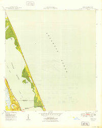
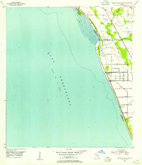
 - 1948 Map of St. Lucie Inlet, 1958 Print
 1948 St. Lucie Inlet1958 Print · USGSCovers Martin County, including Jensen Beach, Port Salerno, and other nearby areas4 unique versions available
 - 1948 Map of Gomez, 1958 Print
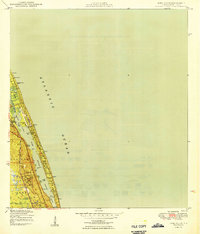
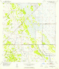
 1948 Gomez1958 Print · USGSCovers Martin County, including Jupiter Island, Gomez, and other nearby areas5 unique versions available
 - 1948 Map of Hobe Sound, 1962 Print
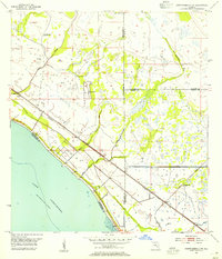
 1948 Hobe Sound1962 Print · USGSCovers Martin County, including Jupiter Island, United States, and other nearby areas4 unique versions available
 - 1948 Map of Jupiter, 1962 Print
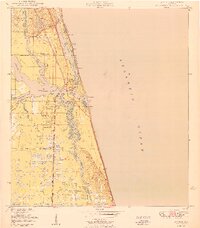
 1948 Jupiter1962 Print · USGSCovers Martin County, including Jupiter, Tequesta, and other nearby areas5 unique versions available
 - 1948 Map of Eden, 1965 Print
 1948 Eden1965 Print · USGSCovers Martin County, including Port Saint Lucie, Jensen Beach, and other nearby areas3 unique versions available
 - 1949 Map of Rood
 1949 Rood1949 Print · USGSCovers Martin County, including Tequesta, Tequesta, and other nearby areas3 unique versions available
 - 1949 Map of Gomez
 1949 Gomez1949 Print · USGSCovers Martin County, including Jupiter Island, Gomez, and other nearby areas2 unique versions available
 - 1949 Map of Hobe Sound
 1949 Hobe Sound1949 Print · USGSCovers Martin County, including Jupiter Island, United States, and other nearby areas2 unique versions available
 - 1950 Map of St. Lucie Inlet
 1950 St. Lucie Inlet1950 Print · USGSCovers Martin County, including Jensen Beach, Port Salerno, and other nearby areas
 - 1950 Map of Ankona
 1950 Ankona1950 Print · USGSCovers Martin County, including Port Saint Lucie, Jensen Beach, and other nearby areas
 - 1950 Map of Palm City
 1950 Palm City1950 Print · USGSCovers Martin County, including Port Saint Lucie, Stuart, and other nearby areas
 - 1950 Map of Jupiter
 1950 Jupiter1950 Print · USGSCovers Martin County, including Jupiter, Tequesta, and other nearby areas2 unique versions available
 - 1950 Map of Eden
 1950 Eden1950 Print · USGSCovers Martin County, including Port Saint Lucie, Jensen Beach, and other nearby areas
 - 1953 Map of Okeechobee 4 SW, 1954 Print
 1953 Okeechobee 4 SW1954 Print · USGSCovers Martin County, including Okeechobee County, United States, and other nearby areas4 unique versions available
 - 1953 Map of Okeechobee 4 SE, 1954 Print
 1953 Okeechobee 4 SE1954 Print · USGSCovers Martin County, including Zana, Bessemer, and other nearby areas5 unique versions available
 - 1953 Map of Okeechobee 4 NE, 1954 Print
 1953 Okeechobee 4 NE1954 Print · USGSCovers Martin County, including Bluefield, Saint Lucie County, and other nearby areas4 unique versions available
 - 1953 Map of Okeechobee 4 NW, 1954 Print
 1953 Okeechobee 4 NW1954 Print · USGSCovers Martin County, including Marcy, Up the Grove Beach, and other nearby areas4 unique versions available
 - 1953 Map of Indian Town SE, 1955 Print
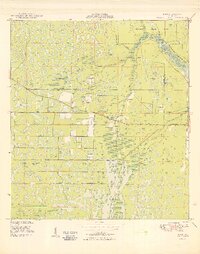
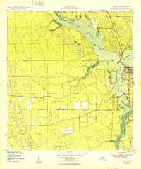
 1953 Indian Town SE1955 Print · USGSCovers Martin County, including Arundel, Palm City, and other nearby areas7 unique versions available
 - 1953 Map of Indian Town NW, 1955 Print
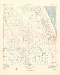
 1953 Indian Town NW1955 Print · USGSCovers Martin County, including Port Saint Lucie, Saint Lucie County, and other nearby areas6 unique versions available
 - 1953 Map of Indian Town, 1955 Print
 1953 Indian Town1955 Print · USGSCovers Martin County, including Indiantown, United States, and other nearby areas4 unique versions available
 - 1956 Map of West Palm Beach, 1964 Print
 1956 West Palm Beach1964 Print · USGSCovers Martin County, including Fort Lauderdale, Cape Coral, and other nearby areas2 unique versions available
 - 1956 Map of Fort Pierce, 1965 Print
 1956 Fort Pierce1965 Print · USGSCovers Martin County, including Port Saint Lucie, Palm Bay, and other nearby areas4 unique versions available
Showing maps 1-25 of 41
Top cities of Martin County
- Stuart historical maps
- Jensen Beach historical maps
- Port Salerno historical maps
- North River Shores historical maps
- Sewall's Point historical maps
- Jupiter Island historical maps
See more
Frequently asked questions
- What are the different types of historical maps available for Martin County?
- What is the oldest map of Martin County?
- Where can I purchase historical maps of Martin County for my home or office?
- Where can I download high-res historical maps of Martin County?
- Are there historical topographic maps available for Martin County?
- Is there historical aerial imagery available for Martin County?
- Where are historical maps of Martin County sourced from?