Old Maps of Aladdin City, Florida for Academic Research
Study the evolution of Aladdin City with 13 high-resolution historic maps. Whether you're teaching, researching, or modeling changes in land use, these maps provide essential visual documentation of urban, environmental, and geographic change.
- Analyze long-term change: Track patterns in development, transportation, and natural features.
- Ideal for environmental or urban studies: Support academic projects with primary historical map data.
- Use in the classroom or lab: Educators and researchers rely on these maps to bring historical context to life.
These maps are a powerful tool for teaching, research, and visualizing how Aladdin City has changed over the decades.
Aladdin City, FL maps
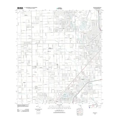
(13)- 1949 Map of Goulds
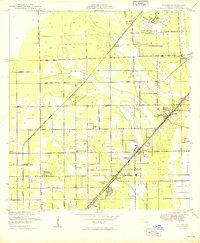 1949 Goulds1949 Print · USGSThe Dade County interior was defined by the intersection of major railroads and aviation centers in the late forties. Trace the development of agricultural communities like Silver Palm and Aladdin City alongside the Naranja Cemetery.2 unique versions available
 - 1956 Map of Goulds, 1957 Print
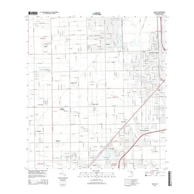
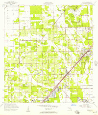 1956 Goulds1957 Print · USGSSouthern Dade County during the mid-fifties shows a landscape of expansive citrus groves and growing aviation hubs. Researchers can trace the layout of early communities like Aladdin City and Princeton alongside the Florida East Coast railway.4 unique versions available
 - 1956 Map of Miami, 1963 Print
 1956 Miami1963 Print · USGSSouthern Florida experiences post-war expansion in the 1950s, even as the wilderness remains dominant across the southern peninsula. Genealogists and historians can trace suburban growth in Opa-locka and Perrine or locate remote sites like the Tamiami Ranger Station.5 unique versions available
 - 1958 Map of Miami
 1958 Miami1958 Print · USGSSoutheast Florida in the late fifties reveals a coastal boom held in balance with the wild sawgrass and mangroves of Everglades National Park. Trace the paths of the Florida East Coast RR through Homestead or locate the U S Marine Corps Air Station during the height of the Cold War.
 - 1981 Map of Miami, 1982 Print
 1981 Miami1982 Print · USGSThe Miami metropolitan corridor and the vast marshlands of the interior are seen here in the early 1980s. Trace the reach of Florida's Turnpike and the Florida East Coast Railway past Opa-locka, Coral Gables, and the Miami International Airport.
 - 1988 Map of Miami
 1988 Miami1988 Print · USGSSouth Florida in the late eighties shows the sharp edge between the growing urban Atlantic coast and the vast wetlands of Everglades National Park. Researchers can trace the path of the Tamiami Trail and locate coastal settlements like Ochopee or Chokoloskee.
 - 1988 Map of Goulds
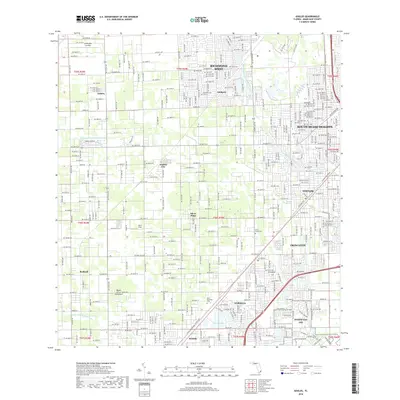
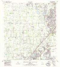 1988 Goulds1988 Print · USGSSouthern Dade County's landscape comes into focus during the late eighties, showcasing the intersection of military operations and tropical tourism. Genealogists and locals can trace the sites of Aladdin City, Palm Mem Cem, and the specialized Robert Morgan Vo-Tech Sch.
 - 1994 Map of Goulds, 1999 Print
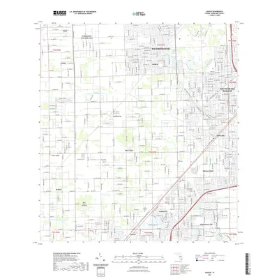
 1994 Goulds1999 Print · USGSMiami-Dade County in the mid-nineties shows a transition from sprawling military and institutional facilities to dense suburban grids. Local researchers can locate dozens of private airfields like Lindbergh Landing Strip, family-named roads, and regional landmarks such as Metrozoo and Monkey Jungle.
 - 2012 Map of Goulds, 2012 Print
 2012 Goulds2012 Print · USGSCovers Aladdin City, including Princeton, Goulds, and other nearby areas
 - 2015 Map of Goulds, 2015 Print
 2015 Goulds2015 Print · USGSCovers Aladdin City, including Princeton, Goulds, and other nearby areas
 - 2018 Map of Goulds, 2018 Print
 2018 Goulds2018 Print · USGSCovers Aladdin City, including Princeton, Goulds, and other nearby areas
 - 2021 Map of Goulds, 2021 Print
 2021 Goulds2021 Print · USGSCovers Aladdin City, including Princeton, Goulds, and other nearby areas
 - 2024 Map of Goulds, 2024 Print
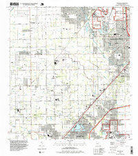
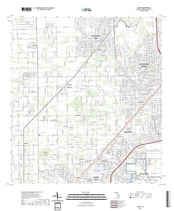 2024 Goulds2024 Print · USGSThe southern reaches of Miami-Dade County appear in modern detail as residential growth meets the edge of the Everglades. Researchers can trace the legacy of established settlements like Goulds and Silver Palm or locate burials at Silver Palm Cem.
End of results
Showing maps 1-13 of 13
Top cities near Aladdin City
- Miami historical maps
- Kendall historical maps
- Homestead historical maps
- Coral Gables historical maps
- Cutler Bay historical maps
- Palmetto Bay historical maps
See more
Frequently asked questions
- What are the different types of historical maps available for Aladdin City?
- What is the oldest map of Aladdin City?
- Where can I purchase historical maps of Aladdin City for my home or office?
- Where can I download high-res historical maps of Aladdin City?
- Are there historical topographic maps available for Aladdin City?
- Is there historical aerial imagery available for Aladdin City?
- Where are historical maps of Aladdin City sourced from?