Old Maps of Fortymile Bend, Florida for Genealogy
Trace your family roots with 11 historic maps of Fortymile Bend. These high-res maps reveal old neighborhoods, homesites, landmarks, and streets — helping you uncover where your ancestors lived and how the area evolved over time.
- Explore historic neighborhoods: Identify where your relatives may have lived in the 1800s or 1900s.
- Compare maps over time: Trace the changes in streets, buildings, and landmarks for multi-generational research.
- Perfect for genealogy & ancestry research: Used by family historians and researchers to map out lineage and migration.
These maps are an incredible resource for exploring your personal connection to Fortymile Bend's past.
Fortymile Bend, FL maps
(11)- 1956 Map of Miami, 1963 Print
 1956 Miami1963 Print · USGSSouthern Florida experiences post-war expansion in the 1950s, even as the wilderness remains dominant across the southern peninsula. Genealogists and historians can trace suburban growth in Opa-locka and Perrine or locate remote sites like the Tamiami Ranger Station.5 unique versions available
 - 1958 Map of Miami
 1958 Miami1958 Print · USGSSoutheast Florida in the late fifties reveals a coastal boom held in balance with the wild sawgrass and mangroves of Everglades National Park. Trace the paths of the Florida East Coast RR through Homestead or locate the U S Marine Corps Air Station during the height of the Cold War.
 - 1973 Map of Fortymile Bend, 1975 Print
 1973 Fortymile Bend1975 Print · USGSThe Florida Everglades in the early 1970s reveal a landscape of ancestral hammocks and modern infrastructure. Genealogists and historians can trace specific family locations such as Pete Osceolas Farm, Jessie Willies Camp, and Smallpox Tommies Camp.3 unique versions available
 - 1981 Map of Miami, 1982 Print
 1981 Miami1982 Print · USGSThe Miami metropolitan corridor and the vast marshlands of the interior are seen here in the early 1980s. Trace the reach of Florida's Turnpike and the Florida East Coast Railway past Opa-locka, Coral Gables, and the Miami International Airport.
 - 1988 Map of Miami
 1988 Miami1988 Print · USGSSouth Florida in the late eighties shows the sharp edge between the growing urban Atlantic coast and the vast wetlands of Everglades National Park. Researchers can trace the path of the Tamiami Trail and locate coastal settlements like Ochopee or Chokoloskee.
 - 1995 Map of Fortymile Bend, 1999 Print
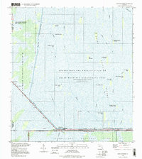 1995 Fortymile Bend1999 Print · USGSThe Miccosukee heartland and the eastern Everglades are documented here in the mid-1990s. Researchers can trace family-named sites like Tommy Tigers Camp and Pete Oseolas Farm alongside the historic Old Burying Ground.
 - 2012 Map of Fortymile Bend, 2012 Print
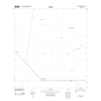 2012 Fortymile Bend2012 Print · USGSThe Florida Everglades in the early 2010s reveal a landscape of isolated family camps and tribal settlements. Trace Miccosukee and Seminole history through sites like Pete Osceolas Seminole Village, Smallpox Tommies Old Place, and Fortymile Bend.
 - 2015 Map of Fortymile Bend, 2015 Print
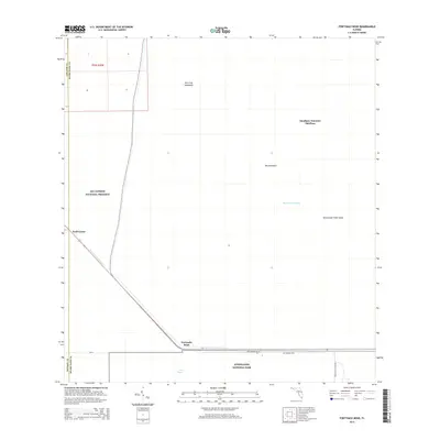 2015 Fortymile Bend2015 Print · USGSThe Florida Everglades meet at Fortymile Bend in this recent survey of the transition between national park and preserve lands. Researchers can trace the path of the Shark River Slough and locate sites like Miccosukee Tribe Island and Smallpox Tommies Old Place.
 - 2018 Map of Fortymile Bend, 2018 Print
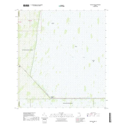 2018 Fortymile Bend2018 Print · USGSThe Florida Everglades and Big Cypress swamp meet here in 2018, centered on the vital crossroads at Fortymile Bend. Researchers can trace the path of the Old Tamiami Trl and locate remote landmarks like Miccosukee Tribe Island and Jack Clay Hammock.
 - 2021 Map of Fortymile Bend, 2021 Print
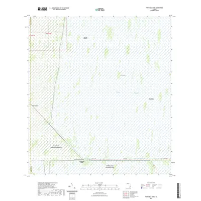 2021 Fortymile Bend2021 Print · USGSThe Florida Everglades and Big Cypress wilderness meet at the start of the twenty-first century, showing the delicate balance of wetland ecology and infrastructure. Explore the remote crossroads at Fortymile Bend and trace the paths of Old Tamiami Trl and Shark River Slough.
 - 2024 Map of Fortymile Bend, 2024 Print
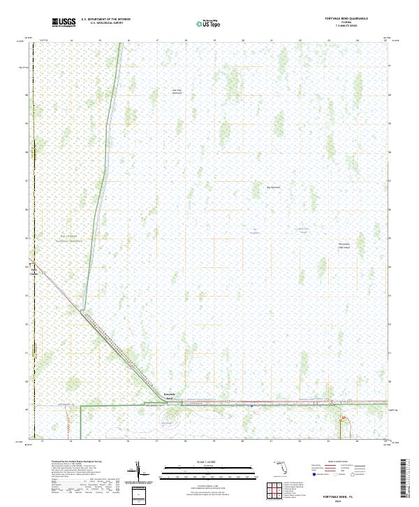 2024 Fortymile Bend2024 Print · USGSThe Florida Everglades and Big Cypress swamp converge at this critical highway junction during the 2020s. Researchers can trace the path of the Old Tamiami Trl and Loop Road Rte - 102 past landmarks like Fortymile Bend and Trail Center.
End of results
Showing maps 1-11 of 11
Top cities near Fortymile Bend
Frequently asked questions
- What are the different types of historical maps available for Fortymile Bend?
- What is the oldest map of Fortymile Bend?
- Where can I purchase historical maps of Fortymile Bend for my home or office?
- Where can I download high-res historical maps of Fortymile Bend?
- Are there historical topographic maps available for Fortymile Bend?
- Is there historical aerial imagery available for Fortymile Bend?
- Where are historical maps of Fortymile Bend sourced from?