2020s Maps of Homestead, Florida
Explore 4 historic maps of Homestead from the 2020s. These maps offer a rare glimpse into what life looked like during the 2020s — showing old roads, neighborhoods, homes, and landmarks that have changed or disappeared over time.
Whether you're researching your family's past, planning a metal detecting trip, or studying how Homestead's landscape evolved across the 2020s, these high-resolution maps are a powerful tool for exploring the history of this region.
- Focus on a specific era: All maps on this page are from the 2020s, giving you a focused view of this time period.
- See what’s changed: Compare century-old streets, trails, and buildings to today's modern landscape using overlays and satellite layers.
- Research with precision: Use these maps for genealogy, historical research, land use analysis, or educational projects.
- View, download, or print: Maps are fully viewable online in high resolution, and can be downloaded or printed for your own records.
Start exploring Homestead's history through authentic maps from the 2020s. This is your window into the past.
Homestead, FL maps
(4)- 2021 Map of Royal Palm Ranger Station, 2021 Print
 2021 Royal Palm Ranger Station2021 Print · USGSCovers Homestead, including Florida City, Miami-Dade County, and other nearby areas
 - 2021 Map of Homestead, 2021 Print
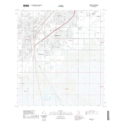 2021 Homestead2021 Print · USGSCovers Homestead, including Leisure City, Florida City, and other nearby areas
 - 2024 Map of Homestead, 2024 Print
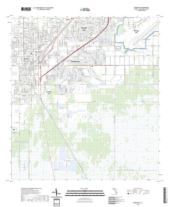 2024 Homestead2024 Print · USGSSouthern Florida at the edge of the Everglades is defined here by its intersection of military infrastructure and tropical agriculture. You can trace the lineage of travel from Old Dixie Hwy to the S Miami-Dade Busway and locate the vast Homestead ARB.
 - 2024 Map of Royal Palm Ranger Station, 2024 Print
 2024 Royal Palm Ranger Station2024 Print · USGSThe Florida Everglades and the southern agricultural fringe of Miami-Dade are captured here in recent years. Researchers can trace the intersection of managed waterways like Canal 111E with natural features such as Taylor Slough, Paradise Key, and Parachute Key.
End of results
Showing maps 1-4 of 4
Top cities near Homestead
- Kendall historical maps
- Cutler Bay historical maps
- Palmetto Bay historical maps
- Leisure City historical maps
- Princeton historical maps
- Pinecrest historical maps
See more
Top neighborhoods of Homestead
- Four Seasons Mobile Home Park historical maps
- Aquarius Mobile Home Park historical maps
- The Board Walk Mobile Home Park historical maps
- Homestead Trailer Park historical maps
Frequently asked questions
- What are the different types of historical maps available for Homestead?
- What is the oldest map of Homestead?
- Where can I purchase historical maps of Homestead for my home or office?
- Where can I download high-res historical maps of Homestead?
- Are there historical topographic maps available for Homestead?
- Is there historical aerial imagery available for Homestead?
- Where are historical maps of Homestead sourced from?