Old Maps of Marathon, Florida for Hiking & Exploration
Hike through history with 29 historic maps of Marathon. Explore old trails, ghost towns, and forgotten backroads — perfect for outdoor adventurers and local explorers.
- Rediscover forgotten places: Map out old mining camps, roads, and footpaths that no longer exist on modern maps.
- Layer with modern tools: Combine with LiDAR or satellite views to plan hikes through historical terrain.
- Made for exploration: Popular among hikers, overlanders, and local history lovers.
Use these maps to find adventure and explore the hidden past of Marathon.
Marathon, FL maps
(29)- 1971 Map of Grassy Key, 1973 Print
 1971 Grassy Key1973 Print · USGSThe Middle Florida Keys are seen in the early seventies during a period of infrastructure growth and coastal mapping. Historians can trace the development of Duck Key, the path of the Long Key Viaduct, and the layout of Grassy Key and Conch Key.2 unique versions available
 - 1971 Map of Marathon, 1973 Print
 1971 Marathon1973 Print · USGSMarathon and the Middle Keys are shown in the early seventies as this island community entered a period of significant growth. Trace the development of Key Colony Beach, locate the Coast Guard Sta, or study the grounds of the Sombrero Country Club.
 - 1971 Map of Crawl Key, 1973 Print
 1971 Crawl Key1973 Print · USGSThe middle Florida Keys appear in the early seventies, caught between the shallow waters of Florida Bay and the open Straits of Florida. Marine historians and researchers can trace the navigational hazards of Coffins Patch or locate landmarks on Crawl Key and Grassy Key.
 - 1972 Map of Marathon
 1972 Marathon1972 Print · USGSThe Middle Keys undergo significant development during the early seventies as new canal-front communities expand across Vaca Key. Researchers can trace the growth of Marathon and Key Colony Beach or locate landmarks like the Coast Guard Sta and High Sch.
 - 1972 Map of Bamboo Key, 1973 Print
 1972 Bamboo Key1973 Print · USGSFlorida Bay and its shallow marine landscape are captured here in the early seventies. Boaters and maritime historians can trace the Intracoastal Waterway and locate the navigational light near the solitary Bamboo Key.
 - 1983 Map of Islamorada, 1984 Print
 1983 Islamorada1984 Print · USGSThe Florida Keys at the start of the 1980s show a delicate balance of tourism and preservation along the Overseas Highway. Researchers can trace the development of island communities like Islamorada and Layton, or locate landmarks such as the Long Key Viaduct and Indian Key.
 - 1983 Map of Key West, 1984 Print
 1983 Key West1984 Print · USGSThe Lower Florida Keys are shown in detail in the early 1980s, centered on the military and civilian infrastructure of the archipelago. Trace the path of the Overseas Highway across the Sevenmile Bridge and locate historic sites like Bahia Honda State Park.2 unique versions available
 - 1989 Map of Key West, 1990 Print
 1989 Key West1990 Print · USGSThe Florida Keys at the end of the eighties reveal a complex maritime network of coral islands, military outposts, and protected wilderness. Researchers can trace the Overseas Highway across the Sevenmile Bridge and locate features like the U S Naval Air Station Key West and the National Key Deer Refuge.
 - 2012 Map of Grassy Key, 2012 Print
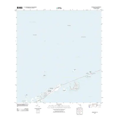 2012 Grassy Key2012 Print · USGSThe Middle Keys of Florida are shown in the early 2010s as the Overseas Hwy connects isolated island communities. Researchers can trace the development of Duck Key, the docks at Conch Key, and specialized sites like the Flying Bonefish Seaplane Base.
 - 2012 Map of Crawl Key, 2012 Print
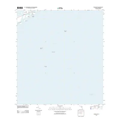 2012 Crawl Key2012 Print · USGSThe Middle Keys are captured in the early twenty-first century, showing the narrow terrestrial thread of Valhalla and Crawl Key. Trace the vital route of the Overseas Hwy across Deer Key and locate maritime landmarks like Coffins Patch Light 20.
 - 2012 Map of Bamboo Key, 2012 Print
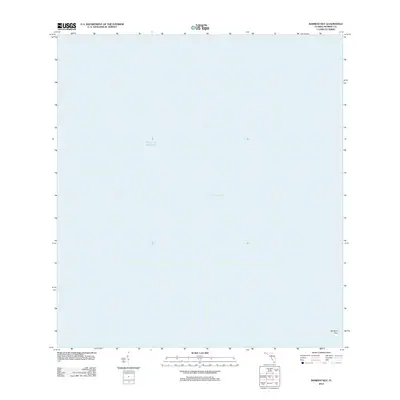 2012 Bamboo Key2012 Print · USGSFlorida's coastal wilderness comes into focus in this early 2010s maritime study. Genealogists and researchers of the Keys can locate the solitary Bamboo Key at the edge of the Florida Bay and the open Gulf of Mexico.
 - 2012 Map of Marathon, 2012 Print
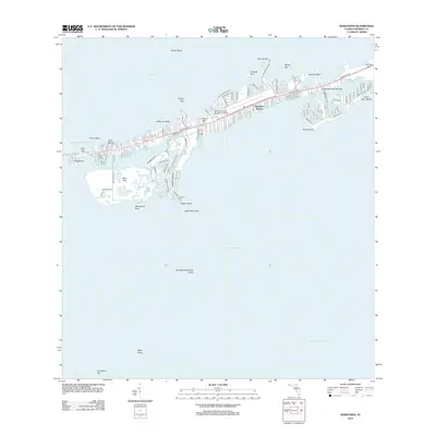 2012 Marathon2012 Print · USGSThe Middle Florida Keys are captured here in the early twenty-first century as the islands reached modern maturity. Trace residential canal networks and maritime landmarks from the Marathon Airport to Cocoa Plum Beach and the remote Sombrero Key.
 - 2015 Map of Grassy Key, 2015 Print
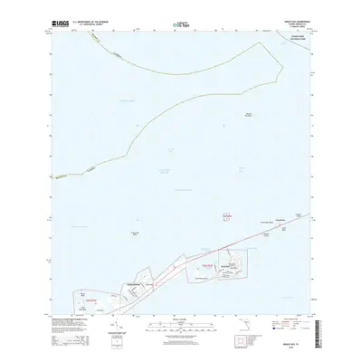 2015 Grassy Key2015 Print · USGSThe Florida Middle Keys are shown in the mid-2010s, capturing the detailed street grids and maritime passages of this island chain. Researchers can trace the developed neighborhoods of Duck Key and Marathon or locate coastal landmarks like Burnt Point and the Long Key Viaduct.
 - 2015 Map of Marathon, 2015 Print
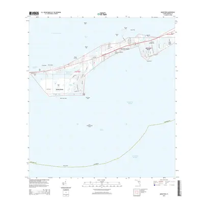 2015 Marathon2015 Print · USGSThe Middle Keys of Florida are captured in this mid-2010s survey, showing the interconnected communities from Marathon to Key Colony Beach. Researchers can trace the development of Vaca Key, locate The Florida Keys Marathon Airport, and explore coastal features like Boot Key and Cocoa Plum Beach.
 - 2015 Map of Bamboo Key, 2015 Print
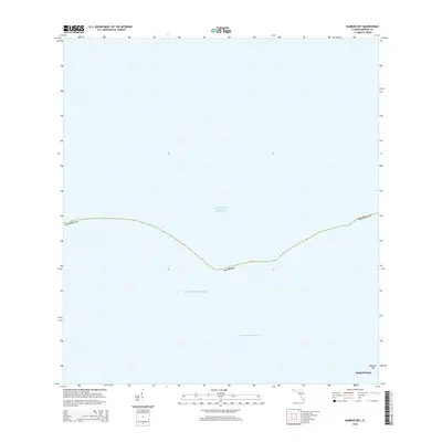 2015 Bamboo Key2015 Print · USGSCoastal waters south of the Florida mainland appear here in the mid-2010s, centering on the maritime approach to the Keys. Boat owners and local historians can trace the path of the Intracoastal Waterway as it passes the small island of Bamboo Key.
 - 2015 Map of Crawl Key, 2015 Print
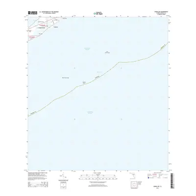 2015 Crawl Key2015 Print · USGSThe middle Florida Keys come into focus in the mid-2010s, showing the settled stretches of Marathon and Valhalla. Boaters and local historians can trace the intricate coastlines of Crawl Key and the offshore reaches of Hawk Channel and Coffins Patch.
 - 2018 Map of Bamboo Key, 2018 Print
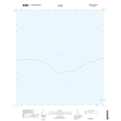 2018 Bamboo Key2018 Print · USGSThe Middle Keys are captured in this late twenty-tens survey, centered on the waters where the gulf meets the sea. Boaters and maritime historians can trace the precise route of the Intracoastal Waterway as it passes Bamboo Key and the shallows of Florida Bay.
 - 2018 Map of Marathon, 2018 Print
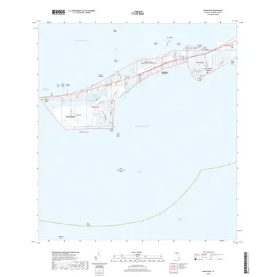 2018 Marathon2018 Print · USGSThe Middle Keys are shown in high detail during the late twenty-teens, centering on the bustling maritime and aviation hub of Marathon. Boaters and local historians can trace the intricate canal systems of Key Colony Beach or locate landings at Boot Key Harbor and Cocoa Plum Beach.
 - 2018 Map of Grassy Key, 2018 Print
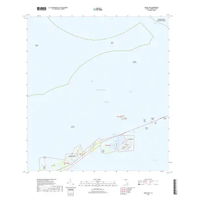 2018 Grassy Key2018 Print · USGSThe Middle Keys are captured in the late 2010s, revealing the intricate layout of residential canal communities and the Overseas Highway. Local historians can trace the development of Marathon and Duck Key, or locate landmarks like the Long Key Viaduct and Conch Key.
 - 2018 Map of Crawl Key, 2018 Print
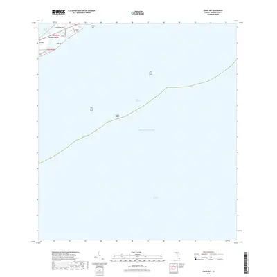 2018 Crawl Key2018 Print · USGSThe Middle Florida Keys are captured here in the late twenty-teens, showing the modern layout of the islands and the surrounding waters. Researchers can trace development along the Overseas Hwy from Marathon to Grassy Key and identify offshore landmarks like Coffins Patch.
 - 2021 Map of Crawl Key, 2021 Print
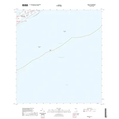 2021 Crawl Key2021 Print · USGSThe middle Florida Keys come into focus in the early twenty-first century as the Overseas Hwy connects a vibrant coastal landscape. Trace the geography of local islands like Crawl Key and Fat Deer Key, or explore maritime landmarks such as Coffins Patch.
 - 2021 Map of Grassy Key, 2021 Print
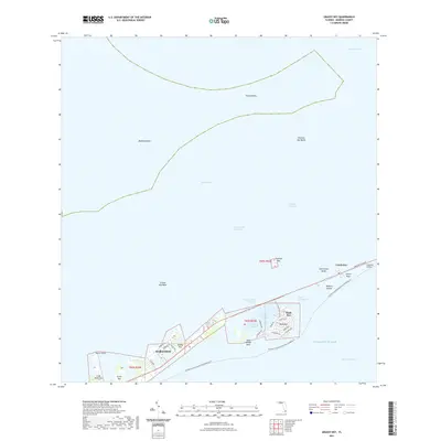 2021 Grassy Key2021 Print · USGSThe Middle Florida Keys are shown in their contemporary layout, spanning the developed islands from Marathon to the Long Key Viaduct. Researchers can trace the modern street grids of Duck Key and Grassy Key or locate navigational landmarks like Bamboo Banks and Toms Harbor.
 - 2021 Map of Bamboo Key, 2021 Print
 2021 Bamboo Key2021 Print · USGSFlorida Bay and the coastal waters near Marathon are captured in this modern survey of the lower keys. Maritime researchers and local historians can trace the path of the Intracoastal Waterway and locate the small landmass of Bamboo Key north of the city.
 - 2021 Map of Marathon, 2021 Print
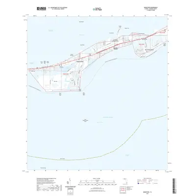 2021 Marathon2021 Print · USGSThe Middle Florida Keys come into focus in this recent survey, capturing the modern development of Marathon and its neighboring islands. Trace the local geography from Key Colony Beach to the aviation and maritime facilities at Marathon International Airport and Boot Key Harbor.
 - 2024 Map of Crawl Key, 2024 Print
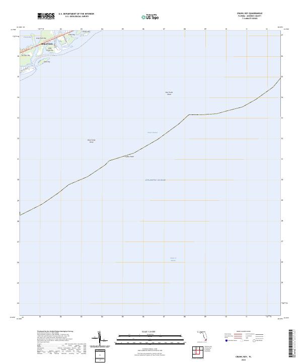 2024 Crawl Key2024 Print · USGSThe northern Florida Keys are captured here in the early 2020s, showing the narrow chain of islands connected by the famous Overseas Hwy. You can trace modern recreational paths like the Florida Keys Overseas Heritage Trl and locate offshore landmarks such as Coffins Patch and Fat Deer Key.
Showing maps 1-25 of 29
Top cities near Marathon
Top neighborhoods of Marathon
Frequently asked questions
- What are the different types of historical maps available for Marathon?
- What is the oldest map of Marathon?
- Where can I purchase historical maps of Marathon for my home or office?
- Where can I download high-res historical maps of Marathon?
- Are there historical topographic maps available for Marathon?
- Is there historical aerial imagery available for Marathon?
- Where are historical maps of Marathon sourced from?