
1972 Map of Marathon
USGS Topo · Published 1972About this map
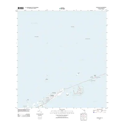
Vaca Key serves as the primary corridor for development on this orthophotomap, showing the Middle Keys as they transitioned into a modern vacation and residential hub in the early 1970s. The settlement of Marathon is depicted alongside growing communities at Marathon Shores and Key Colony Beach, where intricate canal systems and local infrastructure like the Marathon Airport and Sombrero Country Club are clearly visible.
Find a feature on this map
38 named features on this map. Tap any name to fly to it.
Don’t see what you’re looking for? This feature index may not catch every label — zoom into the map to look around manually.
Map Details
Editions of this 1972 Marathon Map
This is the sole edition of this map. No revisions or reprints were ever made.
Other maps of this area

1971 · Grassy Key
USGS Topo · 1:24,000

1971 · Marathon
USGS Topo · 1:24,000

1971 · Crawl Key
USGS Topo · 1:24,000

1972 · Bamboo Key
USGS Topo · 1:24,000

1972 · East Bahia Honda Key
USGS Topo · 1:24,000

1972 · Sevenmile Bridge
USGS Topo · 1:24,000

1983 · Islamorada
USGS Topo · 1:100,000

1983 · Key West
USGS Topo · 1:100,000

1989 · Key West
USGS Topo · 1:250,000
2012 · Grassy Key
USGS Topo · 1:24,000