2000s (21st Century) Maps of Intercession City, Florida
Explore 5 historic maps of Intercession City from the 2000s (21st Century). These maps offer a rare glimpse into what life looked like during the 2000s — showing old roads, neighborhoods, homes, and landmarks that have changed or disappeared over time.
Whether you're researching your family's past, planning a metal detecting trip, or studying how Intercession City's landscape evolved across the 2000s, these high-resolution maps are a powerful tool for exploring the history of this region.
- Focus on a specific era: All maps on this page are from the 2000s, giving you a focused view of this time period.
- See what’s changed: Compare century-old streets, trails, and buildings to today's modern landscape using overlays and satellite layers.
- Research with precision: Use these maps for genealogy, historical research, land use analysis, or educational projects.
- View, download, or print: Maps are fully viewable online in high resolution, and can be downloaded or printed for your own records.
Start exploring Intercession City's history through authentic maps from the 2000s. This is your window into the past.
Intercession City, FL maps
(5)- 2012 Map of Intercession City, 2012 Print
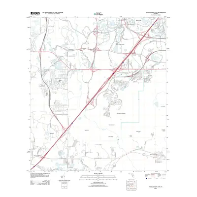 2012 Intercession City2012 Print · USGSCovers Intercession City, including Celebration, Bay Lake, and other nearby areas
 - 2015 Map of Intercession City, 2015 Print
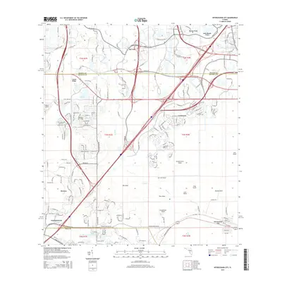 2015 Intercession City2015 Print · USGSCovers Intercession City, including Celebration, Bay Lake, and other nearby areas
 - 2018 Map of Intercession City, 2018 Print
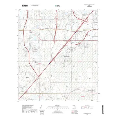 2018 Intercession City2018 Print · USGSCovers Intercession City, including Celebration, Bay Lake, and other nearby areas
 - 2021 Map of Intercession City, 2021 Print
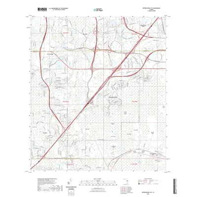 2021 Intercession City2021 Print · USGSCovers Intercession City, including Celebration, Bay Lake, and other nearby areas
 - 2024 Map of Intercession City, 2024 Print
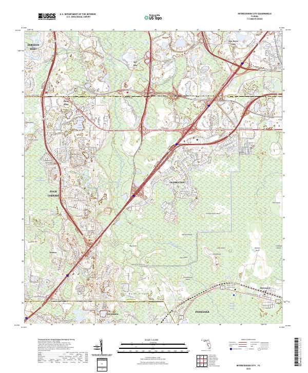 2024 Intercession City2024 Print · USGSCentral Florida’s rapidly evolving corridor between Osceola and Polk Counties is shown here as master-planned growth meets extensive wetlands. Researchers can trace modern developments like Celebration and Reunion alongside natural landmarks like Smokehouse Island and the Lake Wales Ridge.
End of results
Showing maps 1-5 of 5
Top cities near Intercession City
- Orlando historical maps
- Poinciana historical maps
- Kissimmee historical maps
- Kissimmee historical maps
- Kissimmee historical maps
- Kissimmee historical maps
See more
Frequently asked questions
- What are the different types of historical maps available for Intercession City?
- What is the oldest map of Intercession City?
- Where can I purchase historical maps of Intercession City for my home or office?
- Where can I download high-res historical maps of Intercession City?
- Are there historical topographic maps available for Intercession City?
- Is there historical aerial imagery available for Intercession City?
- Where are historical maps of Intercession City sourced from?