Old Maps of Boca Raton, Florida for Genealogy
Trace your family roots with 21 historic maps of Boca Raton. These high-res maps reveal old neighborhoods, homesites, landmarks, and streets — helping you uncover where your ancestors lived and how the area evolved over time.
- Explore historic neighborhoods: Identify where your relatives may have lived in the 1800s or 1900s.
- Compare maps over time: Trace the changes in streets, buildings, and landmarks for multi-generational research.
- Perfect for genealogy & ancestry research: Used by family historians and researchers to map out lineage and migration.
These maps are an incredible resource for exploring your personal connection to Boca Raton's past.
Boca Raton, FL maps
(21)- 1946 Map of West Dixie Bend, 1958 Print
 1946 West Dixie Bend1958 Print · USGSCovers Boca Raton, including Pompano Beach, Deerfield Beach, and other nearby areas
 - 1946 Map of Boca Raton, 1958 Print
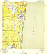
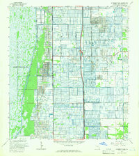
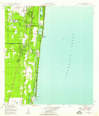 1946 Boca Raton1958 Print · USGSCovers Boca Raton, including Pompano Beach, Deerfield Beach, and other nearby areas
 - 1947 Map of Delmar Farms, 1961 Print
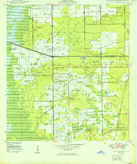
 1947 Delmar Farms1961 Print · USGSCovers Boca Raton, including Delray Beach, Boca West, and other nearby areas
 - 1949 Map of West Dixie Bend
 1949 West Dixie Bend1949 Print · USGSCovers Boca Raton, including Pompano Beach, Deerfield Beach, and other nearby areas2 unique versions available
 - 1949 Map of Delmar Farms
 1949 Delmar Farms1949 Print · USGSCovers Boca Raton, including Delray Beach, Boca West, and other nearby areas2 unique versions available
 - 1950 Map of Boca Raton
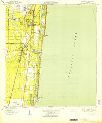 1950 Boca Raton1950 Print · USGSCovers Boca Raton, including Pompano Beach, Deerfield Beach, and other nearby areas
 - 1950 Map of Delray Beach
 1950 Delray Beach1950 Print · USGSCovers Boca Raton, including Boynton Beach, Delray Beach, and other nearby areas2 unique versions available
 - 1956 Map of West Palm Beach, 1964 Print
 1956 West Palm Beach1964 Print · USGSCovers Boca Raton, including Fort Lauderdale, Cape Coral, and other nearby areas2 unique versions available
 - 1957 Map of West Palm Beach
 1957 West Palm Beach1957 Print · USGSCovers Boca Raton, including Fort Lauderdale, Cape Coral, and other nearby areas
 - 1958 Map of West Palm Beach
 1958 West Palm Beach1958 Print · USGSCovers Boca Raton, including Fort Lauderdale, Cape Coral, and other nearby areas2 unique versions available
 - 1962 Map of Boca Raton, 1963 Print
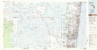
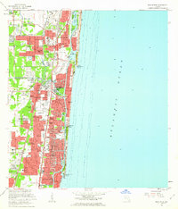 1962 Boca Raton1963 Print · USGSCovers Boca Raton, including Pompano Beach, Deerfield Beach, and other nearby areas5 unique versions available
 - 1962 Map of Delray Beach, 1964 Print
 1962 Delray Beach1964 Print · USGSCovers Boca Raton, including Boynton Beach, Delray Beach, and other nearby areas5 unique versions available
 - 1962 Map of West Dixie Bend, 1964 Print
 1962 West Dixie Bend1964 Print · USGSCovers Boca Raton, including Pompano Beach, Deerfield Beach, and other nearby areas3 unique versions available
 - 1962 Map of University Park, 1966 Print
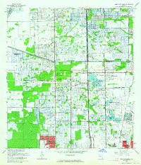
 1962 University Park1966 Print · USGSCovers Boca Raton, including Delray Beach, Boca West, and other nearby areas3 unique versions available
 - 1981 Map of Fort Lauderdale, 1983 Print
 1981 Fort Lauderdale1983 Print · USGSCovers Boca Raton, including Fort Lauderdale, Pembroke Pines, and other nearby areas
 - 1985 Map of Fort Lauderdale, 1986 Print
 1985 Fort Lauderdale1986 Print · USGSCovers Boca Raton, including Fort Lauderdale, Pembroke Pines, and other nearby areas2 unique versions available
 - 1987 Map of West Palm Beach, 1988 Print
 1987 West Palm Beach1988 Print · USGSCovers Boca Raton, including Fort Lauderdale, Cape Coral, and other nearby areas2 unique versions available
 - 2024 Map of Delray Beach, 2024 Print
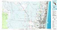
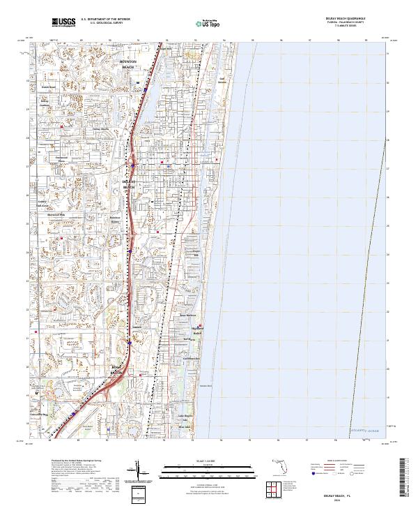 2024 Delray Beach2024 Print · USGSCovers Boca Raton, including Boynton Beach, Delray Beach, and other nearby areas
 - 2024 Map of West Dixie Bend, 2024 Print
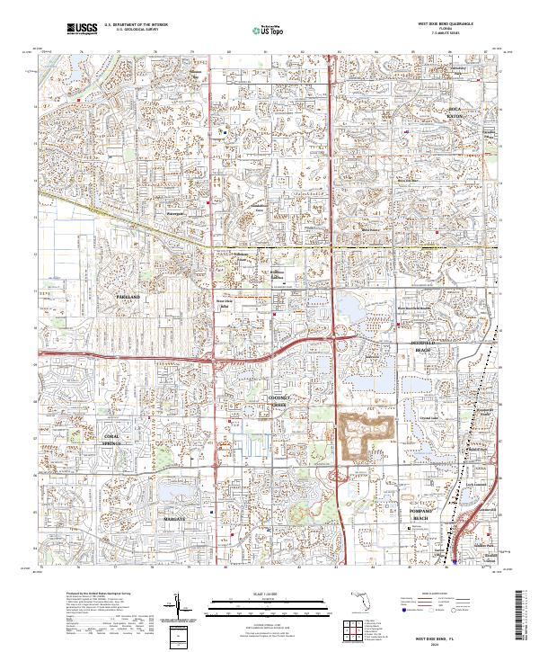 2024 West Dixie Bend2024 Print · USGSCovers Boca Raton, including Pompano Beach, Deerfield Beach, and other nearby areas
 - 2024 Map of University Park, 2024 Print
 2024 University Park2024 Print · USGSCovers Boca Raton, including Delray Beach, Villages of Oriole, and other nearby areas
 - 2024 Map of Boca Raton, 2024 Print
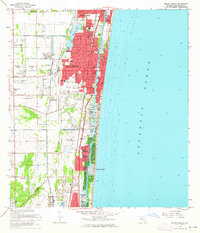
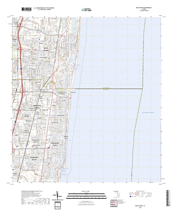 2024 Boca Raton2024 Print · USGSCovers Boca Raton, including Pompano Beach, Deerfield Beach, and other nearby areas
End of results
Showing maps 1-21 of 21
Top cities near Boca Raton
- Fort Lauderdale historical maps
- Coral Springs historical maps
- Pompano Beach historical maps
- Sunrise historical maps
- Deerfield Beach historical maps
- Boynton Beach historical maps
See more
Top neighborhoods of Boca Raton
- Harbor East historical maps
- Paradise Palms historical maps
- Royal Oak Hills historical maps
- Blue Inlet historical maps
- Bel Marra historical maps
- Caribbean Key historical maps
See more
Frequently asked questions
- What are the different types of historical maps available for Boca Raton?
- What is the oldest map of Boca Raton?
- Where can I purchase historical maps of Boca Raton for my home or office?
- Where can I download high-res historical maps of Boca Raton?
- Are there historical topographic maps available for Boca Raton?
- Is there historical aerial imagery available for Boca Raton?
- Where are historical maps of Boca Raton sourced from?