2020s Maps of Wellington, Palm Beach County
Explore 8 historic maps of Wellington from the 2020s. These maps offer a rare glimpse into what life looked like during the 2020s — showing old roads, neighborhoods, homes, and landmarks that have changed or disappeared over time.
Whether you're researching your family's past, planning a metal detecting trip, or studying how Wellington's landscape evolved across the 2020s, these high-resolution maps are a powerful tool for exploring the history of this region.
- Focus on a specific era: All maps on this page are from the 2020s, giving you a focused view of this time period.
- See what’s changed: Compare century-old streets, trails, and buildings to today's modern landscape using overlays and satellite layers.
- Research with precision: Use these maps for genealogy, historical research, land use analysis, or educational projects.
- View, download, or print: Maps are fully viewable online in high resolution, and can be downloaded or printed for your own records.
Start exploring Wellington's history through authentic maps from the 2020s. This is your window into the past.
Wellington, Palm Beach County maps
(8)- 2021 Map of Loxahatchee SE, 2021 Print
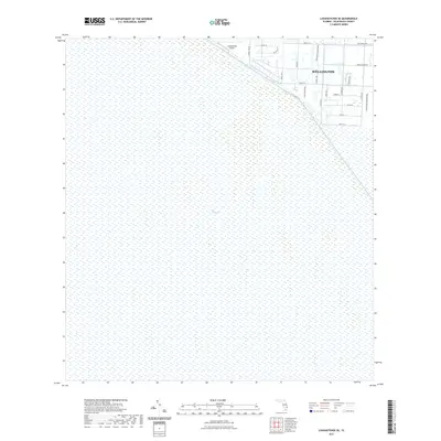 2021 Loxahatchee SE2021 Print · USGSCovers Wellington, including Palm Beach County, United States, and other nearby areas
 - 2021 Map of Loxahatchee, 2021 Print
 2021 Loxahatchee2021 Print · USGSCovers Wellington, including Westlake, Loxahatchee Groves, and other nearby areas
 - 2021 Map of Greenacres City, 2021 Print
 2021 Greenacres City2021 Print · USGSCovers Wellington, including Greenacres, Covered Bridge, and other nearby areas
 - 2021 Map of Palm Beach Farms, 2021 Print
 2021 Palm Beach Farms2021 Print · USGSCovers Wellington, including West Palm Beach, Royal Palm Beach, and other nearby areas
 - 2024 Map of Loxahatchee SE, 2024 Print
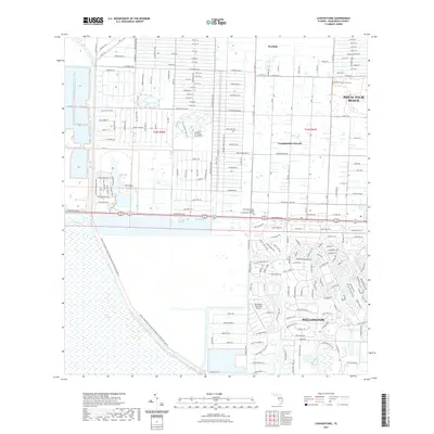
 2024 Loxahatchee SE2024 Print · USGSPalm Beach County in the mid-2020s shows the precise boundary between the growing suburban developments of Wellington and the protected wilderness. Researchers can trace the edge of The Everglades along the L-40 Canal and locate Loxahatchee Airport.
 - 2024 Map of Palm Beach Farms, 2024 Print
 2024 Palm Beach Farms2024 Print · USGSThe suburban interior of Palm Beach County is shown here during its twenty-first-century expansion. Researchers can trace the development of planned communities like Wellington and Greenacres, or locate landmarks such as Our Lady Queen of Peace Cem.
 - 2024 Map of Loxahatchee, 2024 Print
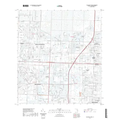
 2024 Loxahatchee2024 Print · USGSPalm Beach County's western reaches are captured here as the eastern edge of the swamp meets rapid suburban growth. Researchers can trace the development of The Acreage and Loxahatchee Groves alongside the vital West Palm Beach Canal.
 - 2024 Map of Greenacres City, 2024 Print
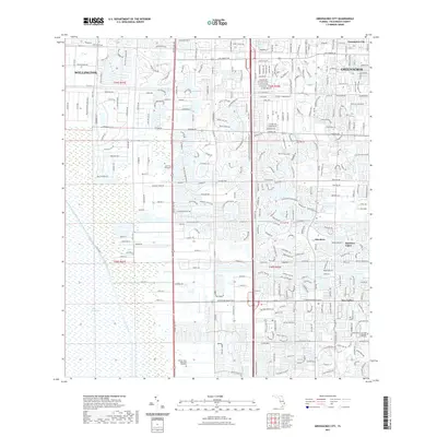
 2024 Greenacres City2024 Print · USGSPalm Beach County's inland expansion is captured in this survey, where the managed wetlands of the Everglades border growing residential communities. Researchers can trace the layout of Wellington and Greenacres alongside sites like South Florida National Cem and Aberdeen.
End of results
Showing maps 1-8 of 8
Frequently asked questions
- What are the different types of historical maps available for Wellington?
- What is the oldest map of Wellington?
- Where can I purchase historical maps of Wellington for my home or office?
- Where can I download high-res historical maps of Wellington?
- Are there historical topographic maps available for Wellington?
- Is there historical aerial imagery available for Wellington?
- Where are historical maps of Wellington sourced from?