2000s (21st Century) Maps of Port Richey, Florida
Explore 12 historic maps of Port Richey from the 2000s (21st Century). These maps offer a rare glimpse into what life looked like during the 2000s — showing old roads, neighborhoods, homes, and landmarks that have changed or disappeared over time.
Whether you're researching your family's past, planning a metal detecting trip, or studying how Port Richey's landscape evolved across the 2000s, these high-resolution maps are a powerful tool for exploring the history of this region.
- Focus on a specific era: All maps on this page are from the 2000s, giving you a focused view of this time period.
- See what’s changed: Compare century-old streets, trails, and buildings to today's modern landscape using overlays and satellite layers.
- Research with precision: Use these maps for genealogy, historical research, land use analysis, or educational projects.
- View, download, or print: Maps are fully viewable online in high resolution, and can be downloaded or printed for your own records.
Start exploring Port Richey's history through authentic maps from the 2000s. This is your window into the past.
Port Richey, FL maps
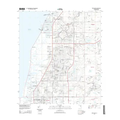
(12)- 2012 Map of Port Richey, 2012 Print
 2012 Port Richey2012 Print · USGSCovers Port Richey, including Bayonet Point, Hudson, and other nearby areas
 - 2012 Map of Port Richey OE W, 2012 Print
 2012 Port Richey OE W2012 Print · USGSCovers Port Richey, including Pasco County, United States, and other nearby areas
 - 2015 Map of Port Richey OE W, 2015 Print
 2015 Port Richey OE W2015 Print · USGSCovers Port Richey, including Pasco County, United States, and other nearby areas
 - 2015 Map of Port Richey, 2015 Print
 2015 Port Richey2015 Print · USGSCovers Port Richey, including Bayonet Point, Hudson, and other nearby areas
 - 2018 Map of Port Richey OE W, 2018 Print
 2018 Port Richey OE W2018 Print · USGSCovers Port Richey, including Pasco County, United States, and other nearby areas
 - 2018 Map of Port Richey, 2018 Print
 2018 Port Richey2018 Print · USGSCovers Port Richey, including Bayonet Point, Hudson, and other nearby areas
 - 2021 Map of Port Richey OE W, 2021 Print
 2021 Port Richey OE W2021 Print · USGSCovers Port Richey, including Pasco County, United States, and other nearby areas
 - 2021 Map of Port Richey, 2021 Print
 2021 Port Richey2021 Print · USGSCovers Port Richey, including Bayonet Point, Hudson, and other nearby areas
 - 2024 Map of Port Richey OE W, 2024 Print
 2024 Port Richey OE W2024 Print · USGSCovers Port Richey, including Pasco County, United States, and other nearby areas
 - 2024 Map of Port Richey, 2024 Print
 2024 Port Richey2024 Print · USGSCovers Port Richey, including Bayonet Point, Hudson, and other nearby areas
 - 2025 Map of Port Richey OE W, 2025 Print
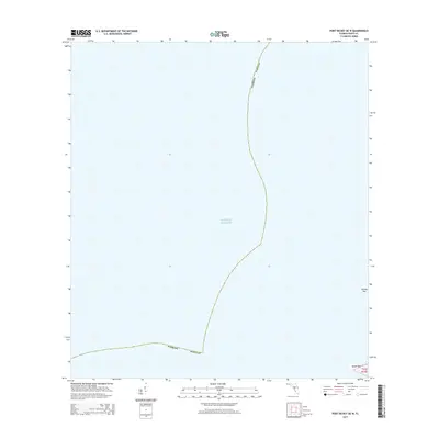
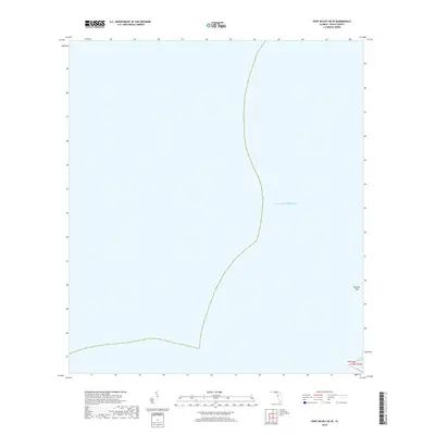
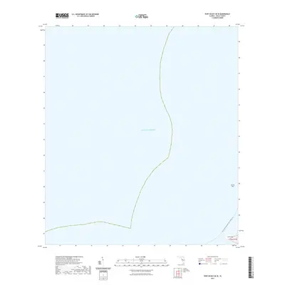
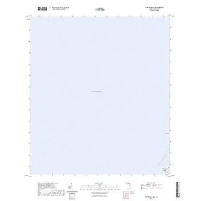
 2025 Port Richey OE W2025 Print · USGSThe Pasco County coastline at the Gulf of America is shown here in the mid-2020s. Trace the contemporary waterfront geography along the Florida Circumnavigational Paddling Trl and identify coastal landmarks like Durney Key and Green Key.
 - 2025 Map of Port Richey, 2025 Print
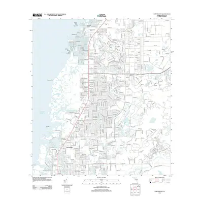
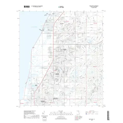
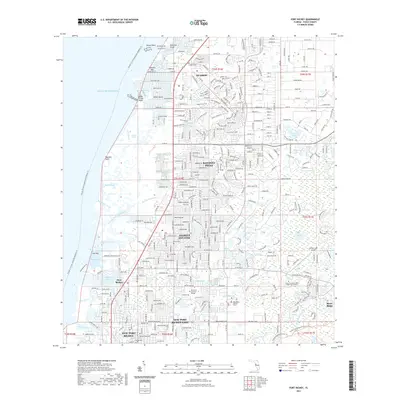
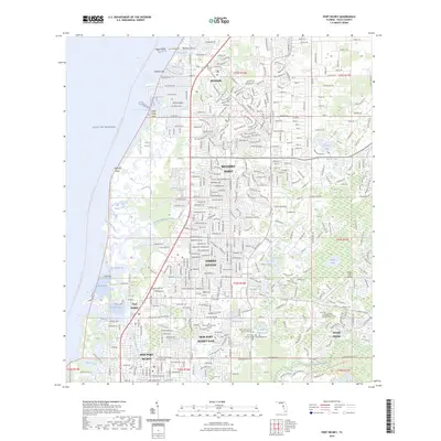
 2025 Port Richey2025 Print · USGSThe Florida Gulf Coast near Port Richey is shown here in its modern development, where intricate tidal bayous meet expanding residential communities. Genealogists and local historians can locate Hudson Cem, Pine Hill Cem, and landmarks like the Hidden Lake Airport.
End of results
Showing maps 1-12 of 12
Top cities near Port Richey
- Tampa historical maps
- Spring Hill historical maps
- Palm Harbor historical maps
- East Lake historical maps
- Bayonet Point historical maps
- Tarpon Springs historical maps
See more
Frequently asked questions
- What are the different types of historical maps available for Port Richey?
- What is the oldest map of Port Richey?
- Where can I purchase historical maps of Port Richey for my home or office?
- Where can I download high-res historical maps of Port Richey?
- Are there historical topographic maps available for Port Richey?
- Is there historical aerial imagery available for Port Richey?
- Where are historical maps of Port Richey sourced from?