Old Maps of Port Richey, Florida for Academic Research
Study the evolution of Port Richey with 19 high-resolution historic maps. Whether you're teaching, researching, or modeling changes in land use, these maps provide essential visual documentation of urban, environmental, and geographic change.
- Analyze long-term change: Track patterns in development, transportation, and natural features.
- Ideal for environmental or urban studies: Support academic projects with primary historical map data.
- Use in the classroom or lab: Educators and researchers rely on these maps to bring historical context to life.
These maps are a powerful tool for teaching, research, and visualizing how Port Richey has changed over the decades.
Port Richey, FL maps
(19)- 1954 Map of Port Richey, 1955 Print
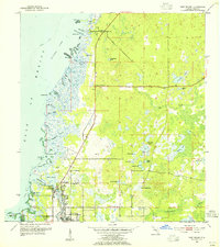 1954 Port Richey1955 Print · USGSMid-century Pasco County coastal life is captured here as the towns of Port Richey and New Port Richey began to grow along the Pithlachascotee River. Genealogists and local historians can locate early landmarks such as the Stark Cem, Union Ch, and the Booker T Washington Sch.4 unique versions available
 - 1955 Map of Plant City, 1966 Print
 1955 Plant City1966 Print · USGSMid-century Central Florida comes to life in this survey of the Nature Coast and the inland citrus and rail belt. Genealogists and historians can trace the paths of the Atlantic Coast Line, locate the Anclote Keys Lighthouse, or find old communities like Masaryktown and Lacoochee.6 unique versions available
 - 1958 Map of Plant City
 1958 Plant City1958 Print · USGSFlorida's Gulf Coast and inland ridge country are captured here in the mid-fifties, showing the region before modern sprawl. Genealogists and historians can trace rail-era towns like Richland and Trilby or locate coastal landmarks such as the Anclote Keys Lighthouse.
 - 1959 Map of Plant City
 1959 Plant City1959 Print · USGSThe West Florida coast and inland timberlands are captured here in the late fifties, from the bend of the Gulf to the rail hubs of the interior. Trace the paths of the Atlantic Coast Line through Inverness and find landmarks like the Anclote Keys Lighthouse.
 - 1964 Map of Plant City
 1964 Plant City1964 Print · USGSThe West Florida coast and its interior rail corridors come alive in this mid-sixties survey, spanning from the gulf marshes to the agricultural heartland. Researchers can trace the routes of the Atlantic Coast Line through settlements like Bushnell, Inverness, and Plant City.
 - 1978 Map of Tarpon Springs, 1982 Print
 1978 Tarpon Springs1982 Print · USGSCoastal Florida is shown during its late-century period of rapid growth, from the Gulf shores to the deep inland swamps. Researchers can trace the development of the Intracoastal Waterway and locate regional landmarks like the Anclote Missile Tracking Annex and Lake Tarpon.
 - 1998 Map of Port Richey, 2002 Print
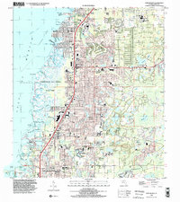 1998 Port Richey2002 Print · USGSCoastal Pasco County underwent significant residential expansion in the late nineties, blending suburban growth with protected salt marshes. Genealogists and local historians can trace neighborhood development in Jasmine Estates and Bayonet Point or locate the historic Hudson Cem and Union Ch.
 - 2012 Map of Port Richey, 2012 Print
 2012 Port Richey2012 Print · USGSCovers Port Richey, including Bayonet Point, Hudson, and other nearby areas
 - 2012 Map of Port Richey OE W, 2012 Print
 2012 Port Richey OE W2012 Print · USGSCovers Port Richey, including Pasco County, United States, and other nearby areas
 - 2015 Map of Port Richey OE W, 2015 Print
 2015 Port Richey OE W2015 Print · USGSCovers Port Richey, including Pasco County, United States, and other nearby areas
 - 2015 Map of Port Richey, 2015 Print
 2015 Port Richey2015 Print · USGSCovers Port Richey, including Bayonet Point, Hudson, and other nearby areas
 - 2018 Map of Port Richey OE W, 2018 Print
 2018 Port Richey OE W2018 Print · USGSCovers Port Richey, including Pasco County, United States, and other nearby areas
 - 2018 Map of Port Richey, 2018 Print
 2018 Port Richey2018 Print · USGSCovers Port Richey, including Bayonet Point, Hudson, and other nearby areas
 - 2021 Map of Port Richey OE W, 2021 Print
 2021 Port Richey OE W2021 Print · USGSCovers Port Richey, including Pasco County, United States, and other nearby areas
 - 2021 Map of Port Richey, 2021 Print
 2021 Port Richey2021 Print · USGSCovers Port Richey, including Bayonet Point, Hudson, and other nearby areas
 - 2024 Map of Port Richey OE W, 2024 Print
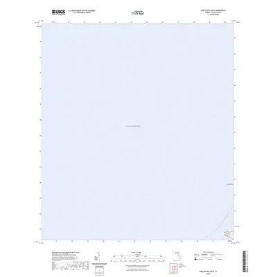 2024 Port Richey OE W2024 Print · USGSCovers Port Richey, including Pasco County, United States, and other nearby areas
 - 2024 Map of Port Richey, 2024 Print
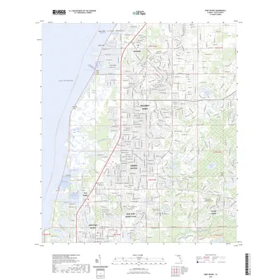 2024 Port Richey2024 Print · USGSCovers Port Richey, including Bayonet Point, Hudson, and other nearby areas
 - 2025 Map of Port Richey OE W, 2025 Print
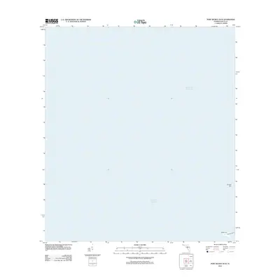
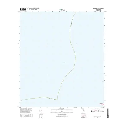
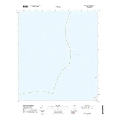
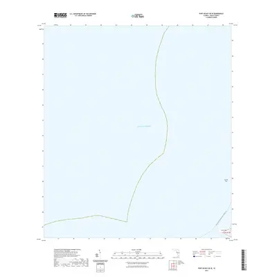
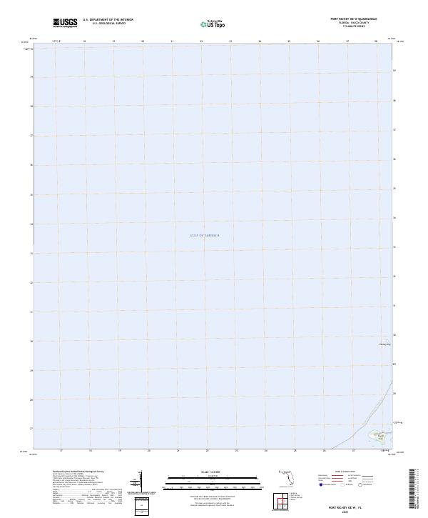 2025 Port Richey OE W2025 Print · USGSThe Pasco County coastline at the Gulf of America is shown here in the mid-2020s. Trace the contemporary waterfront geography along the Florida Circumnavigational Paddling Trl and identify coastal landmarks like Durney Key and Green Key.
 - 2025 Map of Port Richey, 2025 Print
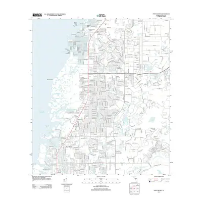
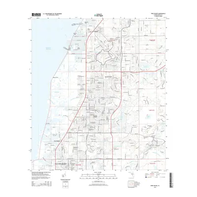
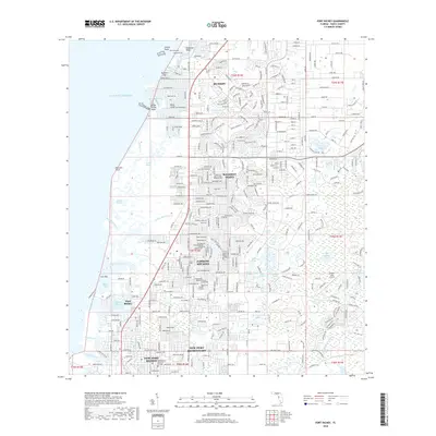
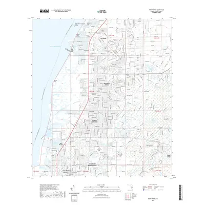
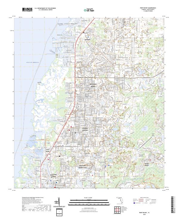 2025 Port Richey2025 Print · USGSThe Florida Gulf Coast near Port Richey is shown here in its modern development, where intricate tidal bayous meet expanding residential communities. Genealogists and local historians can locate Hudson Cem, Pine Hill Cem, and landmarks like the Hidden Lake Airport.
End of results
Showing maps 1-19 of 19
Top cities near Port Richey
- Tampa historical maps
- Spring Hill historical maps
- Palm Harbor historical maps
- East Lake historical maps
- Bayonet Point historical maps
- Tarpon Springs historical maps
See more
Frequently asked questions
- What are the different types of historical maps available for Port Richey?
- What is the oldest map of Port Richey?
- Where can I purchase historical maps of Port Richey for my home or office?
- Where can I download high-res historical maps of Port Richey?
- Are there historical topographic maps available for Port Richey?
- Is there historical aerial imagery available for Port Richey?
- Where are historical maps of Port Richey sourced from?