2000s (21st Century) Maps of Dundee, Florida
Explore 15 historic maps of Dundee from the 2000s (21st Century). These maps offer a rare glimpse into what life looked like during the 2000s — showing old roads, neighborhoods, homes, and landmarks that have changed or disappeared over time.
Whether you're researching your family's past, planning a metal detecting trip, or studying how Dundee's landscape evolved across the 2000s, these high-resolution maps are a powerful tool for exploring the history of this region.
- Focus on a specific era: All maps on this page are from the 2000s, giving you a focused view of this time period.
- See what’s changed: Compare century-old streets, trails, and buildings to today's modern landscape using overlays and satellite layers.
- Research with precision: Use these maps for genealogy, historical research, land use analysis, or educational projects.
- View, download, or print: Maps are fully viewable online in high resolution, and can be downloaded or printed for your own records.
Start exploring Dundee's history through authentic maps from the 2000s. This is your window into the past.
Dundee, FL maps
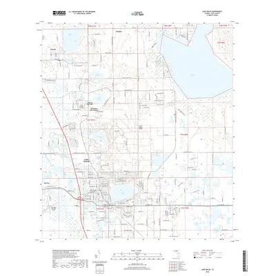
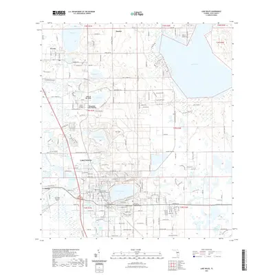
(15)- 2012 Map of Lake Wales, 2012 Print
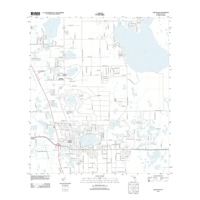 2012 Lake Wales2012 Print · USGSCovers Dundee, including Lake Wales, Waverly, and other nearby areas
 - 2012 Map of Dundee, 2012 Print
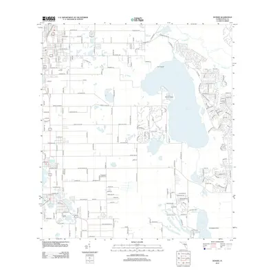 2012 Dundee2012 Print · USGSCovers Dundee, including Grenelefe, Lake Hamilton, and other nearby areas
 - 2012 Map of Winter Haven, 2012 Print
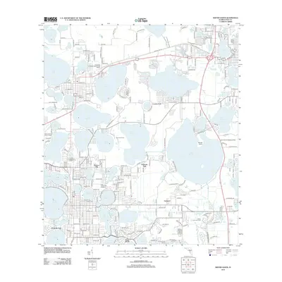 2012 Winter Haven2012 Print · USGSCovers Dundee, including Winter Haven, Haines City, and other nearby areas
 - 2015 Map of Lake Wales, 2015 Print
 2015 Lake Wales2015 Print · USGSCovers Dundee, including Lake Wales, Waverly, and other nearby areas
 - 2015 Map of Winter Haven, 2015 Print
 2015 Winter Haven2015 Print · USGSCovers Dundee, including Winter Haven, Haines City, and other nearby areas
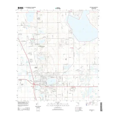
 - 2015 Map of Dundee, 2015 Print
 2015 Dundee2015 Print · USGSCovers Dundee, including Grenelefe, Lake Hamilton, and other nearby areas
 - 2018 Map of Lake Wales, 2018 Print
 2018 Lake Wales2018 Print · USGSCovers Dundee, including Lake Wales, Waverly, and other nearby areas
 - 2018 Map of Dundee, 2018 Print
 2018 Dundee2018 Print · USGSCovers Dundee, including Grenelefe, Lake Hamilton, and other nearby areas
 - 2018 Map of Winter Haven, 2018 Print
 2018 Winter Haven2018 Print · USGSCovers Dundee, including Winter Haven, Haines City, and other nearby areas
 - 2021 Map of Dundee, 2021 Print
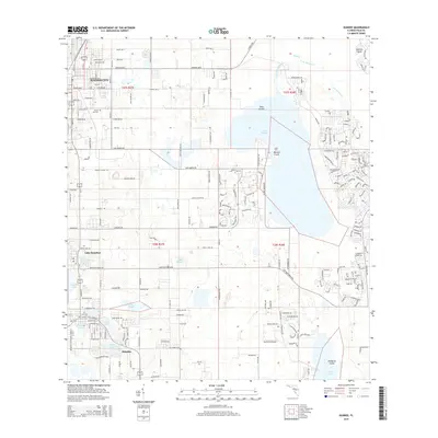
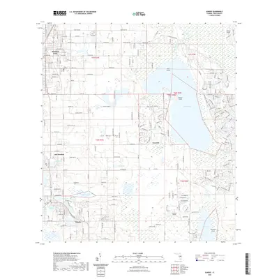 2021 Dundee2021 Print · USGSCovers Dundee, including Grenelefe, Lake Hamilton, and other nearby areas
 - 2021 Map of Lake Wales, 2021 Print
 2021 Lake Wales2021 Print · USGSCovers Dundee, including Lake Wales, Waverly, and other nearby areas
 - 2021 Map of Winter Haven, 2021 Print
 2021 Winter Haven2021 Print · USGSCovers Dundee, including Winter Haven, Haines City, and other nearby areas
 - 2024 Map of Lake Wales, 2024 Print
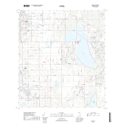
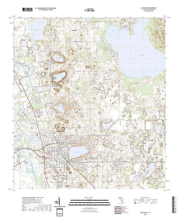 2024 Lake Wales2024 Print · USGSCentral Polk County’s ridge country is documented here in the early twenty-first century, showing a landscape of citrus groves and residential expansion. Researchers can find precise locations for local landmarks like Iron Mtn, the Chalet Suzanne Air Strip, and Mountain Lake Station.
 - 2024 Map of Winter Haven, 2024 Print
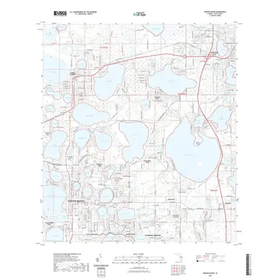
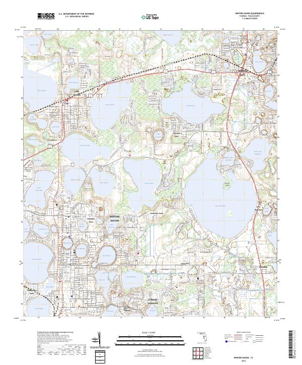 2024 Winter Haven2024 Print · USGSCentral Florida’s lake country is mapped in modern detail during this recent period of suburban expansion and educational growth. Researchers can trace the developed neighborhoods of Winter Haven and Haines City alongside local landmarks like Polk State College and Oaklawn Cem.
 - 2024 Map of Dundee, 2024 Print
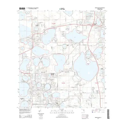
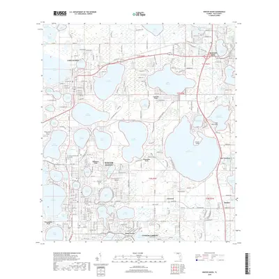
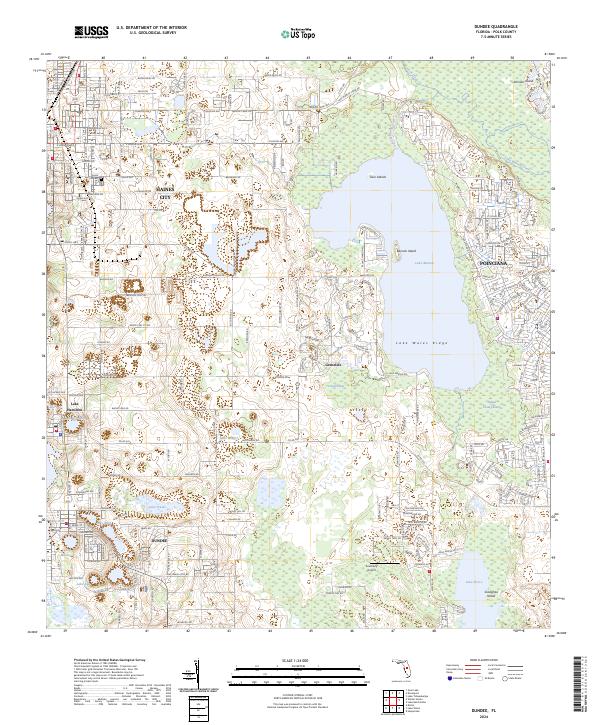 2024 Dundee2024 Print · USGSCentral Florida’s citrus and sand-mining heartland is captured here at a moment of continued residential growth between Haines City and Dundee. Researchers can trace the layout of Poinciana, locate Forest Hill Cem, or explore the shores of Lake Marion.
End of results
Showing maps 1-15 of 15
Top cities near Dundee
- Poinciana historical maps
- Winter Haven historical maps
- Haines City historical maps
- Lake Wales historical maps
- Auburndale historical maps
- Fort Meade historical maps
See more
Frequently asked questions
- What are the different types of historical maps available for Dundee?
- What is the oldest map of Dundee?
- Where can I purchase historical maps of Dundee for my home or office?
- Where can I download high-res historical maps of Dundee?
- Are there historical topographic maps available for Dundee?
- Is there historical aerial imagery available for Dundee?
- Where are historical maps of Dundee sourced from?