2000s (21st Century) Maps of Interlachen, Florida
Explore 20 historic maps of Interlachen from the 2000s (21st Century). These maps offer a rare glimpse into what life looked like during the 2000s — showing old roads, neighborhoods, homes, and landmarks that have changed or disappeared over time.
Whether you're researching your family's past, planning a metal detecting trip, or studying how Interlachen's landscape evolved across the 2000s, these high-resolution maps are a powerful tool for exploring the history of this region.
- Focus on a specific era: All maps on this page are from the 2000s, giving you a focused view of this time period.
- See what’s changed: Compare century-old streets, trails, and buildings to today's modern landscape using overlays and satellite layers.
- Research with precision: Use these maps for genealogy, historical research, land use analysis, or educational projects.
- View, download, or print: Maps are fully viewable online in high resolution, and can be downloaded or printed for your own records.
Start exploring Interlachen's history through authentic maps from the 2000s. This is your window into the past.
Interlachen, FL maps
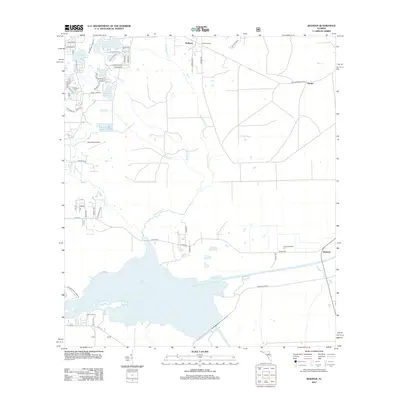
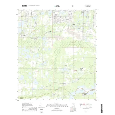
(20)- 2012 Map of Baywood, 2012 Print
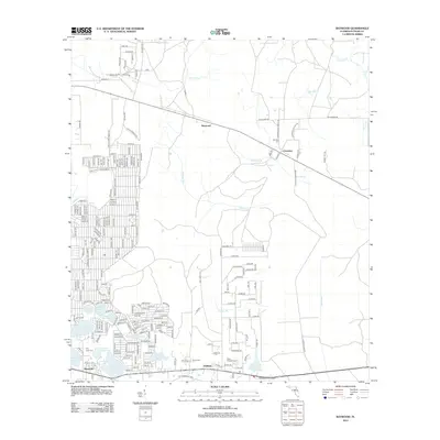 2012 Baywood2012 Print · USGSCovers Interlachen, including Baywood, Carraway, and other nearby areas
 - 2012 Map of Keuka, 2012 Print
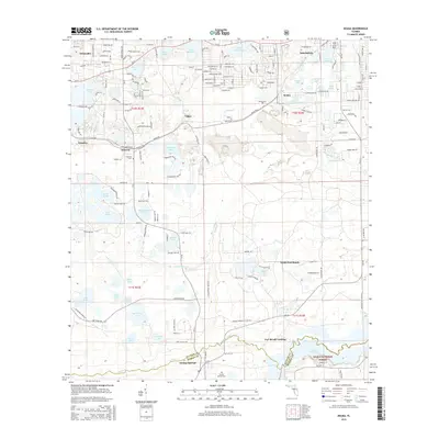
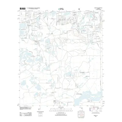 2012 Keuka2012 Print · USGSCovers Interlachen, including Orange Springs, Crossley, and other nearby areas
 - 2012 Map of Rodman, 2012 Print
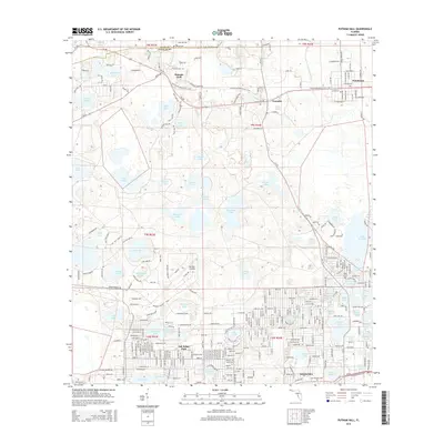
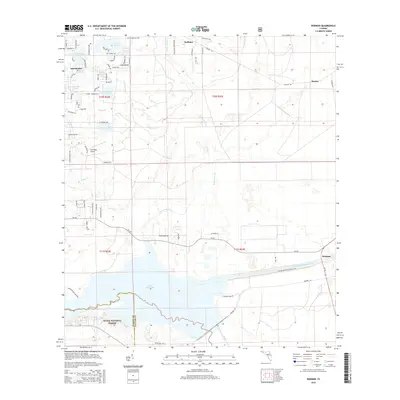
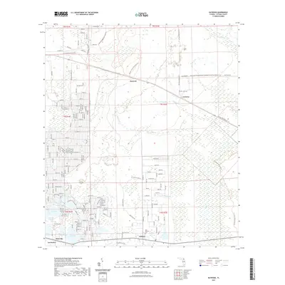
 2012 Rodman2012 Print · USGSCovers Interlachen, including Rodman, Hunter, and other nearby areas
 - 2012 Map of Putnam Hall, 2012 Print
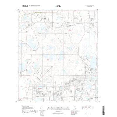
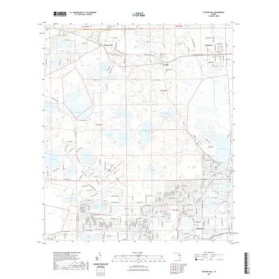
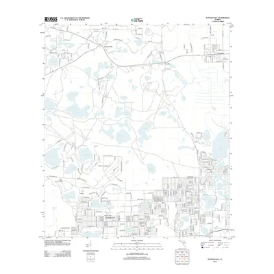 2012 Putnam Hall2012 Print · USGSCovers Interlachen, including Florahome, Grandin, and other nearby areas
 - 2015 Map of Putnam Hall, 2015 Print
 2015 Putnam Hall2015 Print · USGSCovers Interlachen, including Florahome, Grandin, and other nearby areas
 - 2015 Map of Keuka, 2015 Print
 2015 Keuka2015 Print · USGSCovers Interlachen, including Orange Springs, Crossley, and other nearby areas
 - 2015 Map of Baywood, 2015 Print
 2015 Baywood2015 Print · USGSCovers Interlachen, including Baywood, Carraway, and other nearby areas
 - 2015 Map of Rodman, 2015 Print
 2015 Rodman2015 Print · USGSCovers Interlachen, including Rodman, Hunter, and other nearby areas
 - 2018 Map of Keuka, 2018 Print
 2018 Keuka2018 Print · USGSCovers Interlachen, including Orange Springs, Crossley, and other nearby areas
 - 2018 Map of Rodman, 2018 Print
 2018 Rodman2018 Print · USGSCovers Interlachen, including Rodman, Hunter, and other nearby areas
 - 2018 Map of Putnam Hall, 2018 Print
 2018 Putnam Hall2018 Print · USGSCovers Interlachen, including Florahome, Grandin, and other nearby areas
 - 2018 Map of Baywood, 2018 Print
 2018 Baywood2018 Print · USGSCovers Interlachen, including Baywood, Carraway, and other nearby areas
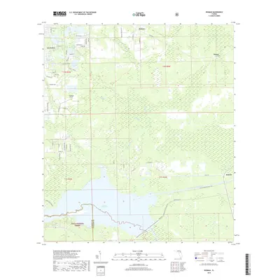
 - 2021 Map of Baywood, 2021 Print
 2021 Baywood2021 Print · USGSCovers Interlachen, including Baywood, Carraway, and other nearby areas
 - 2021 Map of Putnam Hall, 2021 Print
 2021 Putnam Hall2021 Print · USGSCovers Interlachen, including Florahome, Grandin, and other nearby areas
 - 2021 Map of Rodman, 2021 Print
 2021 Rodman2021 Print · USGSCovers Interlachen, including Rodman, Hunter, and other nearby areas
 - 2021 Map of Keuka, 2021 Print
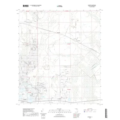
 2021 Keuka2021 Print · USGSCovers Interlachen, including Orange Springs, Crossley, and other nearby areas
 - 2024 Map of Rodman, 2024 Print
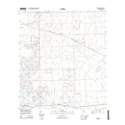
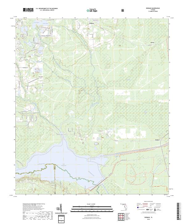 2024 Rodman2024 Print · USGSPutnam County's wetlands and waterways are shown in detail as they appeared recently, from the Ocala National Forest to the settlement of Hollister. Researchers can trace the path of the Cross Florida Barge Canal and locate rural landmarks like Oak Ridge Airport or Cow Heaven Bay.
 - 2024 Map of Keuka, 2024 Print
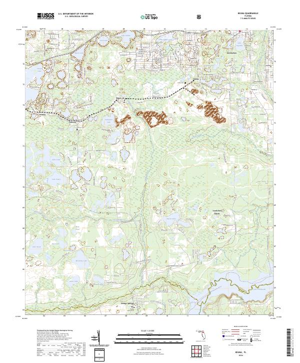 2024 Keuka2024 Print · USGSFlorida's lake country near the Putnam and Marion county line is documented here in recent detail. Researchers can trace family history through local sites like Keuka Cem and Johnson Cem, or explore the shoreline of Lake Ocklawaha and the Ocala National Forest.
 - 2024 Map of Baywood, 2024 Print
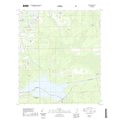
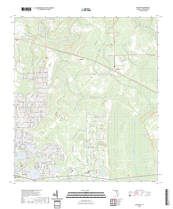 2024 Baywood2024 Print · USGSPutnam County's timberlands and lake districts are captured here in the 2020s, showing the enduring rural layout between Baywood and Hollister. Genealogists and historians can trace old routes like the Old Gainesville Hwy and locate sites near Church Lake or Rice Creek.
 - 2024 Map of Putnam Hall, 2024 Print
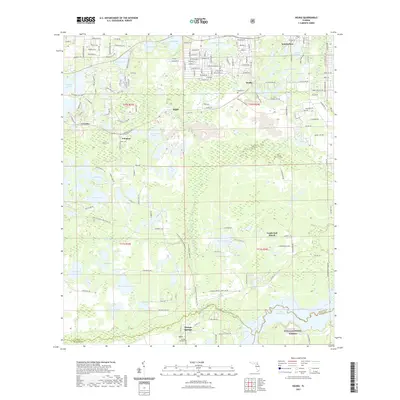
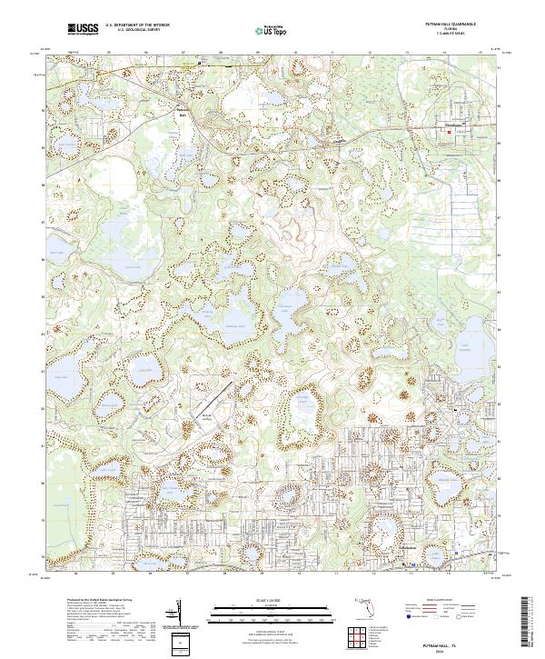 2024 Putnam Hall2024 Print · USGSModern Putnam County is shaped by its interconnected wetlands and rural centers in this recent survey. Genealogists and local historians can trace family locations near Abline Cem, the industrial Grandin Sand Plant, or the lakeside streets of Interlachen.
End of results
Showing maps 1-20 of 20
Top cities near Interlachen
- Palatka historical maps
- Citra historical maps
- Keystone Heights historical maps
- Hawthorne historical maps
- Welaka historical maps
- Island Grove historical maps
Frequently asked questions
- What are the different types of historical maps available for Interlachen?
- What is the oldest map of Interlachen?
- Where can I purchase historical maps of Interlachen for my home or office?
- Where can I download high-res historical maps of Interlachen?
- Are there historical topographic maps available for Interlachen?
- Is there historical aerial imagery available for Interlachen?
- Where are historical maps of Interlachen sourced from?