2000s (21st Century) Maps of Palm Valley, Florida
Explore 15 historic maps of Palm Valley from the 2000s (21st Century). These maps offer a rare glimpse into what life looked like during the 2000s — showing old roads, neighborhoods, homes, and landmarks that have changed or disappeared over time.
Whether you're researching your family's past, planning a metal detecting trip, or studying how Palm Valley's landscape evolved across the 2000s, these high-resolution maps are a powerful tool for exploring the history of this region.
- Focus on a specific era: All maps on this page are from the 2000s, giving you a focused view of this time period.
- See what’s changed: Compare century-old streets, trails, and buildings to today's modern landscape using overlays and satellite layers.
- Research with precision: Use these maps for genealogy, historical research, land use analysis, or educational projects.
- View, download, or print: Maps are fully viewable online in high resolution, and can be downloaded or printed for your own records.
Start exploring Palm Valley's history through authentic maps from the 2000s. This is your window into the past.
Palm Valley, FL maps
(15)- 2012 Map of Jacksonville Beach, 2012 Print
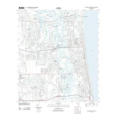 2012 Jacksonville Beach2012 Print · USGSThe coastal developments and maritime corridors of Jacksonville are captured here at the start of the 2010s. Researchers can locate family sites near Warren Smith Cem, industrial landmarks at the Jacksonville Shipyards, and legacy communities like Manhattan Beach.
- 2012 Map of Mickler Landing, 2012 Print
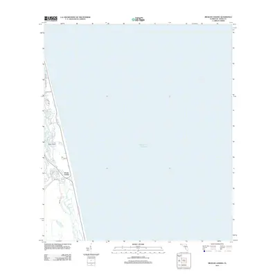 2012 Mickler Landing2012 Print · USGSCoastal Florida at the start of the 2010s shows a delicate balance between new residential corridors and the sea. Trace property boundaries and local infrastructure along Mickler Landing, Diego Plains, and the shores of Lake Ponte Vedra.
- 2012 Map of Palm Valley, 2012 Print
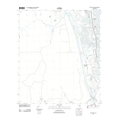 2012 Palm Valley2012 Print · USGSThe Florida coast near Jacksonville in the early 2100s shows a landscape of rapid suburban growth set against sprawling marshes. Genealogists and local historians can trace the street layouts of Ponte Vedra or locate sites like Palm Valley Landing and Twentymile.
- 2015 Map of Mickler Landing, 2015 Print
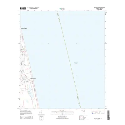 2015 Mickler Landing2015 Print · USGSCoastal Saint Johns County is seen here in the mid-2010s as a landscape of upscale seaside developments and protected waterways. Researchers can trace the layout of Sawgrass and Ponte Vedra Beach or locate public access points like Mickler Landing.
- 2015 Map of Jacksonville Beach, 2015 Print
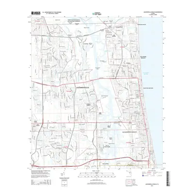 2015 Jacksonville Beach2015 Print · USGSCoastal Duval County comes into focus in this recent survey of the beaches and marshes east of Jacksonville. Researchers can locate the Indian Mound and Mayport Cem, or trace the residential development of Sans Pareil and Holiday Harbor.
- 2015 Map of Palm Valley, 2015 Print
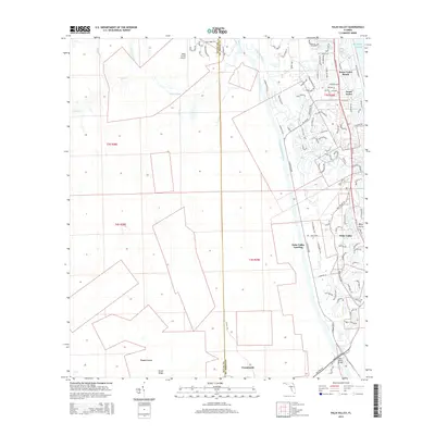 2015 Palm Valley2015 Print · USGSCoastal Florida is showcased here during a period of significant growth between the ocean and the marshes. Genealogists and historians can trace local development across Ponte Vedra Beach, the Palm Valley Landing, and the historic Twentymile crossing.
- 2018 Map of Mickler Landing, 2018 Print
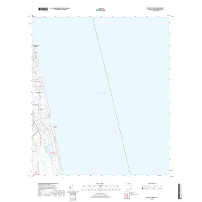 2018 Mickler Landing2018 Print · USGSCoastal Saint Johns County comes into focus in the late 2010s, showing the dense development of the Florida barrier islands. Trace the modern evolution of Ponte Vedra Beach and Sawgrass, or locate the public access at Mickler Landing and the Guana River wetlands.
- 2018 Map of Palm Valley, 2018 Print
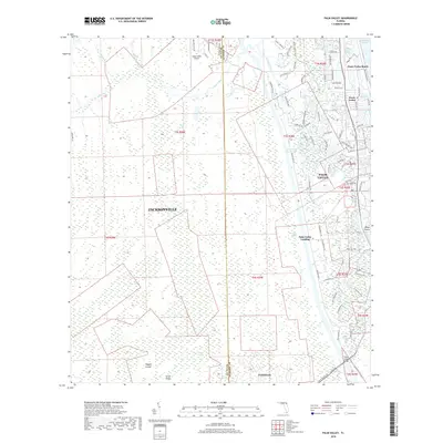 2018 Palm Valley2018 Print · USGSCoastal development meets the Florida wetlands in this recent survey of the area between the Atlantic and the inland swamps. Genealogists and locals can trace the streets of Ponte Vedra Beach or locate landings and landmarks like the Palm Valley Bridge and Twentymile.
- 2018 Map of Jacksonville Beach, 2018 Print
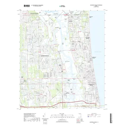 2018 Jacksonville Beach2018 Print · USGSThe Florida coast near the turn of the decade shows the meeting point of high-density beach towns and the preserved marshes of the St. Johns River delta. Researchers can trace local history through the Mayport Cemetery, Indian Mound, and the old San Pablo settlement.
- 2021 Map of Jacksonville Beach, 2021 Print
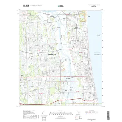 2021 Jacksonville Beach2021 Print · USGSCoastal Duval County comes into focus in the early 2020s, showing the sprawling reach of Jacksonville toward the Atlantic. Genealogists can locate several local burial sites like Rain Cem or trace the neighborhoods of Donner and Manhattan Beach.
- 2021 Map of Mickler Landing, 2021 Print
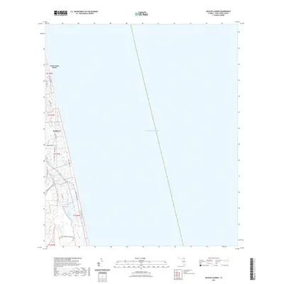 2021 Mickler Landing2021 Print · USGSThe St. Johns County coastline comes into focus in this contemporary study of the residential and conservation lands north of St. Augustine. Trace the development of Sawgrass and the Diego Plains, or explore the preserved marshes of the Guana River Wildlife Management Area.
- 2021 Map of Palm Valley, 2021 Print
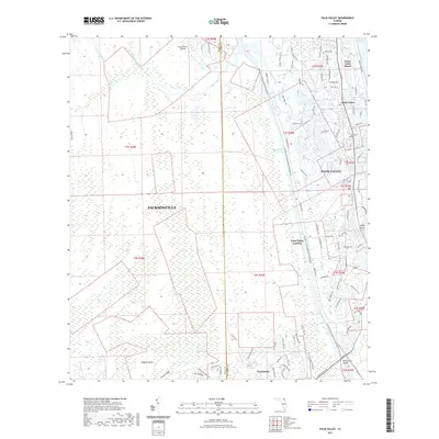 2021 Palm Valley2021 Print · USGSPalm Valley and the northeast Florida coast are shown here in the early twenty-first century as suburban growth borders extensive wetlands. Local historians can trace the development of Ponte Vedra Beach or locate older landmarks like Twentymile and Palm Valley Landing.
- 2024 Map of Mickler Landing, 2024 Print
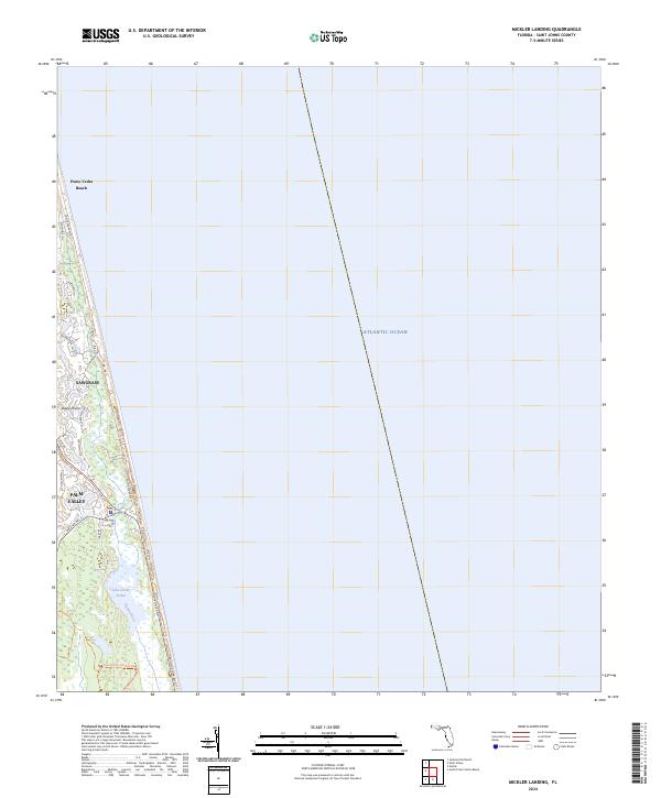 2024 Mickler Landing2024 Print · USGSThe Atlantic coastline and the residential communities of St. Johns County are documented in this recent survey. Researchers can trace the modern boundaries of Ponte Vedra Beach and the planned layout of Sawgrass as they sit along the Atlantic Ocean.
- 2024 Map of Jacksonville Beach, 2024 Print
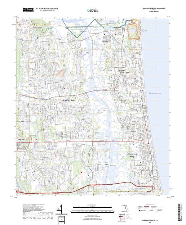 2024 Jacksonville Beach2024 Print · USGSThe Duval County coastline comes into sharp focus during this contemporary era of military presence and suburban growth. Researchers can trace local lineage through Rain Cem or explore the geography of Manhattan Beach and Crying Child Island.
- 2024 Map of Palm Valley, 2024 Print
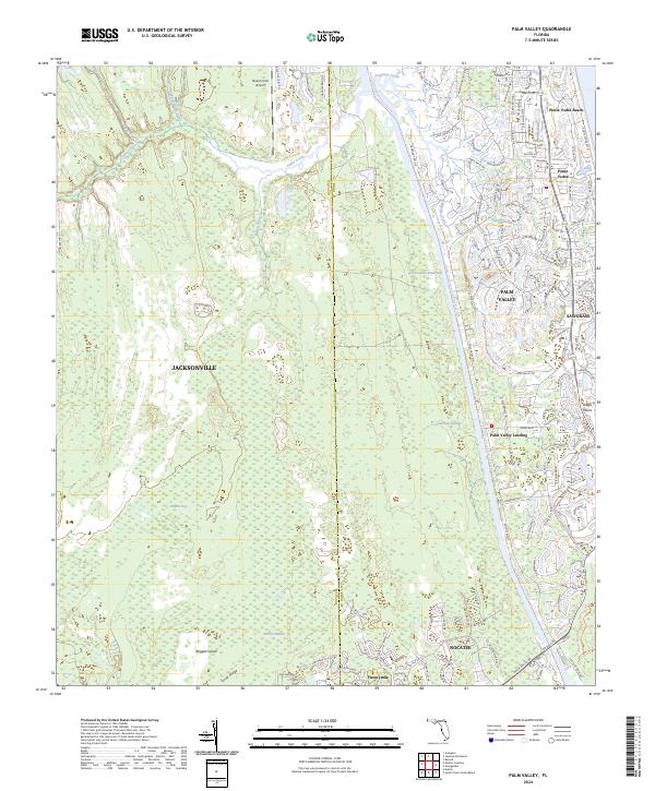 2024 Palm Valley2024 Print · USGSCoastal Florida's modern evolution is on full display here, as planned communities and beachfront developments meet the expansive wetlands of the St. Johns and Duval county lines. Researchers can trace the boundaries of the Guana River Wildlife Management Area or locate local landmarks like Palm Valley Landing and the Deep Forest Airport.
End of results
Showing maps 1-15 of 15
Frequently asked questions
- What are the different types of historical maps available for Palm Valley?
- What is the oldest map of Palm Valley?
- Where can I purchase historical maps of Palm Valley for my home or office?
- Where can I download high-res historical maps of Palm Valley?
- Are there historical topographic maps available for Palm Valley?
- Is there historical aerial imagery available for Palm Valley?
- Where are historical maps of Palm Valley sourced from?