Old Maps of Palm Valley, Florida for Hiking & Exploration
Hike through history with 32 historic maps of Palm Valley. Explore old trails, ghost towns, and forgotten backroads — perfect for outdoor adventurers and local explorers.
- Rediscover forgotten places: Map out old mining camps, roads, and footpaths that no longer exist on modern maps.
- Layer with modern tools: Combine with LiDAR or satellite views to plan hikes through historical terrain.
- Made for exploration: Popular among hikers, overlanders, and local history lovers.
Use these maps to find adventure and explore the hidden past of Palm Valley.
Palm Valley, FL maps
(32)- 1918 Map of Palm Valley
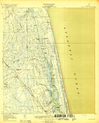 1918 Palm Valley1918 Print · USGSCoastal St. Johns County in the years before heavy development was a wilderness of swamps and vital river landings. Genealogists and researchers can trace early homesteads and rail stops like Sampson, Hilden, and the small community at Palm Valley.4 unique versions available
- 1918 Map of Mayport
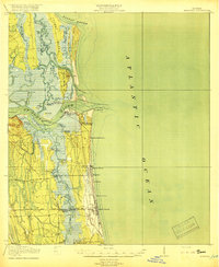 1918 Mayport1918 Print · USGSCoastal Duval County comes alive in the years during the First World War, showing the early shoreline rail network and riverside settlements. Genealogists and historians can trace the foundations of Atlantic Beach and Pablo Beach or locate vanished sites like East Mayport Coquina PO and Howells Mills.4 unique versions available
- 1948 Map of Jacksonville
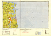 1948 Jacksonville1948 Print · USGSNortheast Florida and Southeast Georgia's coastal waterways and railroad towns are captured here in the years following the war. Genealogists can trace family connections through river towns like St Marys or identify long-standing military landmarks like Jacksonville NAS.
- 1948 Map of Jacksonville Beach, 1958 Print
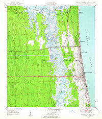 1948 Jacksonville Beach1958 Print · USGSJacksonville’s coastal suburbs and the marshy barrier islands are shown in detail during the late 1940s. Genealogists and researchers can trace early family sites at Tillotson Cemetery or follow the development of Beach Boulevard.3 unique versions available
- 1949 Map of Jacksonville Beach
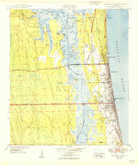 1949 Jacksonville Beach1949 Print · USGSCoastal Florida is in a period of rapid post-war expansion as residential neighborhoods push eastward toward the Atlantic. Genealogists and local researchers can locate early landmarks like Donner, Tillotson Cem, and Fletcher High Sch amidst a changing landscape of new roads.2 unique versions available
- 1952 Map of Mickler Landing, 1956 Print
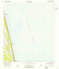 1952 Mickler Landing1956 Print · USGSThe coastal strip of St. Johns County is captured here in the early fifties, showing the initial growth of beachfront communities. Genealogists and historians can trace the early layout of Ponte Vedra Beach, the access at Mickler Landing, and the route of highway A1A.
- 1952 Map of Palm Valley, 1956 Print
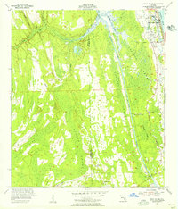 1952 Palm Valley1956 Print · USGSCoastal St. Johns County in the early fifties shows a landscape of developing beach communities and vast, untouched wetlands. Trace the early layout of Ponte Vedra Beach or explore the interior near Palm Valley Landing and the winding reaches of Durbin Swamp.2 unique versions available
- 1957 Map of Jacksonville, 1967 Print
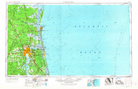 1957 Jacksonville1967 Print · USGSCoastal Florida and Georgia meet in the late fifties, showcasing a landscape of naval aviation, deep-water terminals, and barrier island communities. Researchers can trace the mid-century footprints of NAS Jacksonville, find small communities like Franklintown, and locate the historic Fort Clinch State Park.3 unique versions available
- 1959 Map of Jacksonville
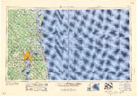 1959 Jacksonville1959 Print · USGSNortheast Florida and Southeast Georgia are seen here in the late fifties, dominated by the maritime activity of the St Johns River and the Atlantic coast. Researchers can trace the mid-century layout of Jacksonville and identify sprawling military sites like Camp Blanding Military Reservation and Kings Bay Ammunition Terminal.
- 1960 Map of Jacksonville
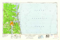 1960 Jacksonville1960 Print · USGSCoastal Florida and Georgia meet in this mid-century portrait of a region shaped by naval power and the winding St Johns River. Researchers can trace the development of military sites like Cecil Field or locate historic rural landmarks such as Jerusalem Ch and Kings Ferry.
- 1964 Map of Palm Valley, 1965 Print
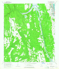 1964 Palm Valley1965 Print · USGSPalm Valley and the northeast Florida coast are shown here in the mid-sixties, capturing the early layout of seaside communities and interior wetlands. Researchers can trace the development of Ponte Vedra and locate rural landmarks like Twentymile and Palm Valley Landing.5 unique versions available
- 1964 Map of Mickler Landing, 1965 Print
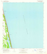 1964 Mickler Landing1965 Print · USGSThe St. Johns County coastline appears in the mid-sixties as a mix of emerging beachfront communities and open coastal plains. Trace the early footprint of Ponte Vedra Beach and the undeveloped terrain around Mickler Landing and Lake Ponte Vedra.4 unique versions available
- 1964 Map of Jacksonville Beach, 1965 Print
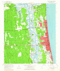 1964 Jacksonville Beach1965 Print · USGSThe Florida coast near the mouth of the St. Johns River appears in this mid-sixties survey during a period of significant suburban and naval development. Researchers can trace family roots through Tillotson Cem, explore the early footprint of Mayport Naval Station, or locate old neighborhood schools like Fletcher High Sch.7 unique versions available
- 1977 Map of Jacksonville, 1983 Print
 1977 Jacksonville1983 Print · USGSNortheast Florida during the late seventies shows a region defined by its deep-water naval bases and burgeoning riverfront suburbs. You can trace the rail networks of the Seaboard Coast Line, locate the Kingsley Plantation, and study the sprawling grounds of Cecil Field Naval Air Station.
- 1980 Map of Jacksonville, 1984 Print
 1980 Jacksonville1984 Print · USGSThe Jacksonville metropolitan area and the Atlantic coast are captured here during a period of significant late-century growth. Researchers can trace the massive military footprints of Cecil Field and Mayport Naval Station alongside historic communities like Mandarin and Switzerland.
- 1988 Map of Jacksonville
 1988 Jacksonville1988 Print · USGSCoastal Florida and Georgia are captured here during the late eighties, documenting the rapid growth of the First Coast and its vital military installations. Researchers can trace the development of beach communities like Fernandina Beach and Atlantic Beach or locate family landmarks near Mickler Landing and Orange Park.
- 1994 Map of Jacksonville Beach, 2003 Print
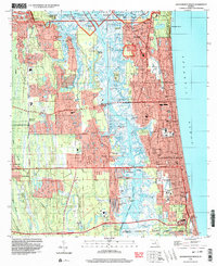 1994 Jacksonville Beach2003 Print · USGSCoastal Duval County underwent significant suburban expansion in the mid-nineties as beach communities became more integrated with the mainland. Genealogists and local historians can trace family plots at Rain Cem or explore the development of Manhattan Beach and Sans Pareil.
- 2012 Map of Jacksonville Beach, 2012 Print
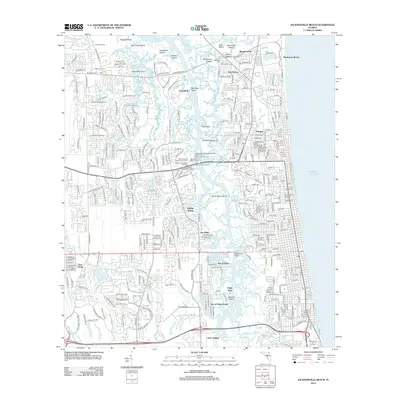 2012 Jacksonville Beach2012 Print · USGSThe coastal developments and maritime corridors of Jacksonville are captured here at the start of the 2010s. Researchers can locate family sites near Warren Smith Cem, industrial landmarks at the Jacksonville Shipyards, and legacy communities like Manhattan Beach.
- 2012 Map of Mickler Landing, 2012 Print
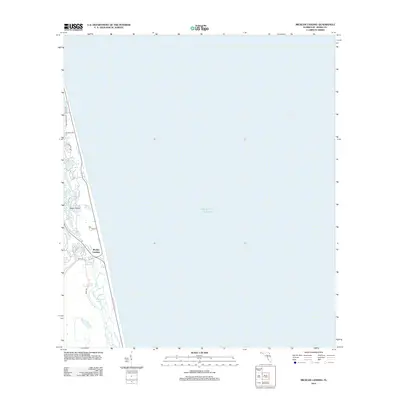 2012 Mickler Landing2012 Print · USGSCoastal Florida at the start of the 2010s shows a delicate balance between new residential corridors and the sea. Trace property boundaries and local infrastructure along Mickler Landing, Diego Plains, and the shores of Lake Ponte Vedra.
- 2012 Map of Palm Valley, 2012 Print
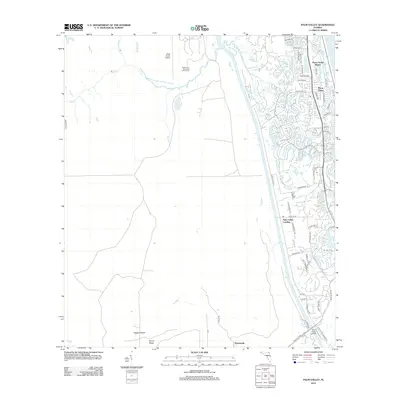 2012 Palm Valley2012 Print · USGSThe Florida coast near Jacksonville in the early 2100s shows a landscape of rapid suburban growth set against sprawling marshes. Genealogists and local historians can trace the street layouts of Ponte Vedra or locate sites like Palm Valley Landing and Twentymile.
- 2015 Map of Mickler Landing, 2015 Print
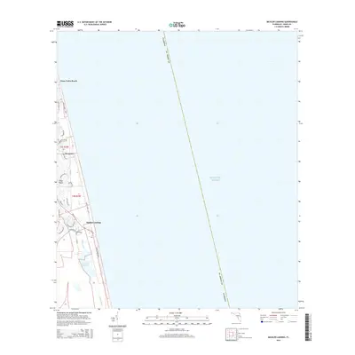 2015 Mickler Landing2015 Print · USGSCoastal Saint Johns County is seen here in the mid-2010s as a landscape of upscale seaside developments and protected waterways. Researchers can trace the layout of Sawgrass and Ponte Vedra Beach or locate public access points like Mickler Landing.
- 2015 Map of Jacksonville Beach, 2015 Print
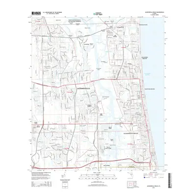 2015 Jacksonville Beach2015 Print · USGSCoastal Duval County comes into focus in this recent survey of the beaches and marshes east of Jacksonville. Researchers can locate the Indian Mound and Mayport Cem, or trace the residential development of Sans Pareil and Holiday Harbor.
- 2015 Map of Palm Valley, 2015 Print
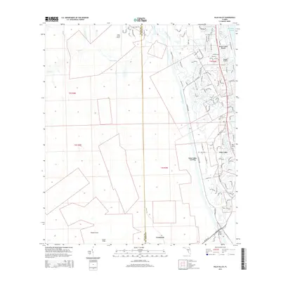 2015 Palm Valley2015 Print · USGSCoastal Florida is showcased here during a period of significant growth between the ocean and the marshes. Genealogists and historians can trace local development across Ponte Vedra Beach, the Palm Valley Landing, and the historic Twentymile crossing.
- 2018 Map of Mickler Landing, 2018 Print
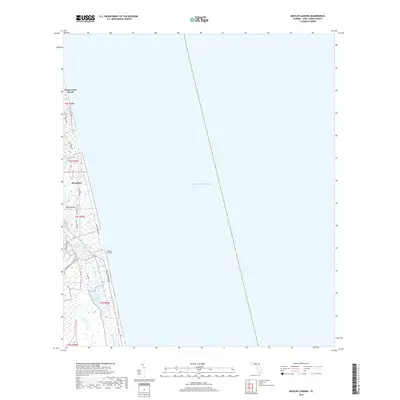 2018 Mickler Landing2018 Print · USGSCoastal Saint Johns County comes into focus in the late 2010s, showing the dense development of the Florida barrier islands. Trace the modern evolution of Ponte Vedra Beach and Sawgrass, or locate the public access at Mickler Landing and the Guana River wetlands.
- 2018 Map of Palm Valley, 2018 Print
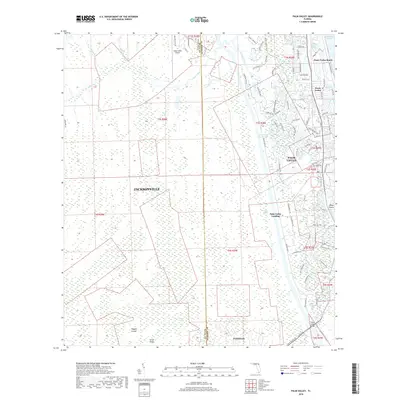 2018 Palm Valley2018 Print · USGSCoastal development meets the Florida wetlands in this recent survey of the area between the Atlantic and the inland swamps. Genealogists and locals can trace the streets of Ponte Vedra Beach or locate landings and landmarks like the Palm Valley Bridge and Twentymile.
Showing maps 1-25 of 32
Frequently asked questions
- What are the different types of historical maps available for Palm Valley?
- What is the oldest map of Palm Valley?
- Where can I purchase historical maps of Palm Valley for my home or office?
- Where can I download high-res historical maps of Palm Valley?
- Are there historical topographic maps available for Palm Valley?
- Is there historical aerial imagery available for Palm Valley?
- Where are historical maps of Palm Valley sourced from?