Old Maps of McLellan, Florida for Hiking & Exploration
Hike through history with 12 historic maps of McLellan. Explore old trails, ghost towns, and forgotten backroads — perfect for outdoor adventurers and local explorers.
- Rediscover forgotten places: Map out old mining camps, roads, and footpaths that no longer exist on modern maps.
- Layer with modern tools: Combine with LiDAR or satellite views to plan hikes through historical terrain.
- Made for exploration: Popular among hikers, overlanders, and local history lovers.
Use these maps to find adventure and explore the hidden past of McLellan.
McLellan, FL maps
(12)- 1948 Map of Munson, 1958 Print
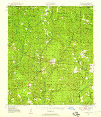 1948 Munson1958 Print · USGSSanta Rosa County's timberlands are captured here in the late 1940s, just as modern forest management was taking root. Researchers can locate family sites and early community landmarks like Sellersville, Black Cem, and the Munson High School.2 unique versions available
 - 1950 Map of Munson
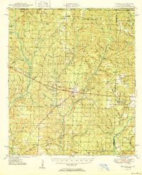 1950 Munson1950 Print · USGSNorth Florida and southern Alabama meet within the dense timberlands of the Blackwater River State Forest during the mid-century. Researchers can trace the routes of the Three Notch Road and locate rural landmarks like Camp Lowry, Spring Hill Sch, and the Black Cem.2 unique versions available
 - 1957 Map of Pensacola, 1967 Print
 1957 Pensacola1967 Print · USGSThe Florida Panhandle and Alabama coast are seen here at the height of the Cold War, showcasing a unique mix of military aviation and emerging beach tourism. Genealogists and local historians can trace legacy sites like Old Corry Field, the lumber town of Bagdad, and the coastal reaches of Santa Rosa Island.3 unique versions available
 - 1959 Map of Pensacola
 1959 Pensacola1959 Print · USGSThe Florida Panhandle and Alabama coast come alive in this late fifties survey of military aviation and maritime life. Genealogists can trace family roots in Bagdad, Loxley, and Milton while mapping the rails of the Louisville and Nashville.
 - 1960 Map of Pensacola
 1960 Pensacola1960 Print · USGSThe Florida Panhandle and Alabama's eastern shore are shown during a period of rapid military and coastal growth. Genealogists and historians can trace the mid-century footprints of Warrington, the Pensacola NAS (Chevalier), and the Blackwater River timber lands.
 - 1973 Map of Mc Lellan, 1976 Print
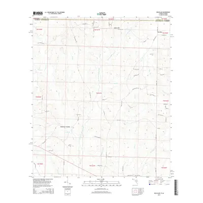
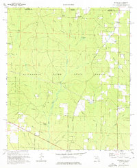 1973 Mc Lellan1976 Print · USGSSanta Rosa County's pine forests and river forks are captured here in the early seventies, just north of the Alabama state line. Researchers can trace the legacy of timber and rural life through an Old Railroad Grade, Sellersville Cem, and McLellan Ch.2 unique versions available
 - 1978 Map of Crestview, 1982 Print
 1978 Crestview1982 Print · USGSThe Florida Panhandle and southern Alabama borderlands appear here in the late seventies as the military and timber industries shaped the landscape. Genealogists can trace family roots through small settlements like Cannon Town or Svea, and locate old sites like Aux Field No 4 (Abandoned).2 unique versions available
 - 2012 Map of McLellan, 2012 Print
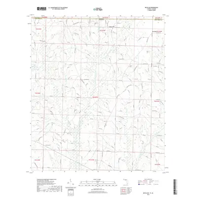
 2012 McLellan2012 Print · USGSCovers McLellan, including Sellersville, Simmons Crossing, and other nearby areas
 - 2015 Map of McLellan, 2015 Print
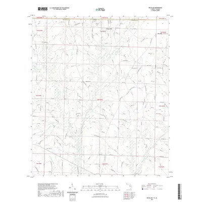
 2015 McLellan2015 Print · USGSCovers McLellan, including Sellersville, Simmons Crossing, and other nearby areas
 - 2018 Map of McLellan, 2018 Print
 2018 McLellan2018 Print · USGSCovers McLellan, including Sellersville, Simmons Crossing, and other nearby areas
 - 2021 Map of McLellan, 2021 Print
 2021 McLellan2021 Print · USGSCovers McLellan, including Sellersville, Simmons Crossing, and other nearby areas
 - 2024 Map of McLellan, 2024 Print
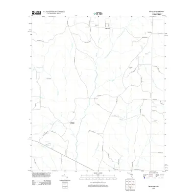
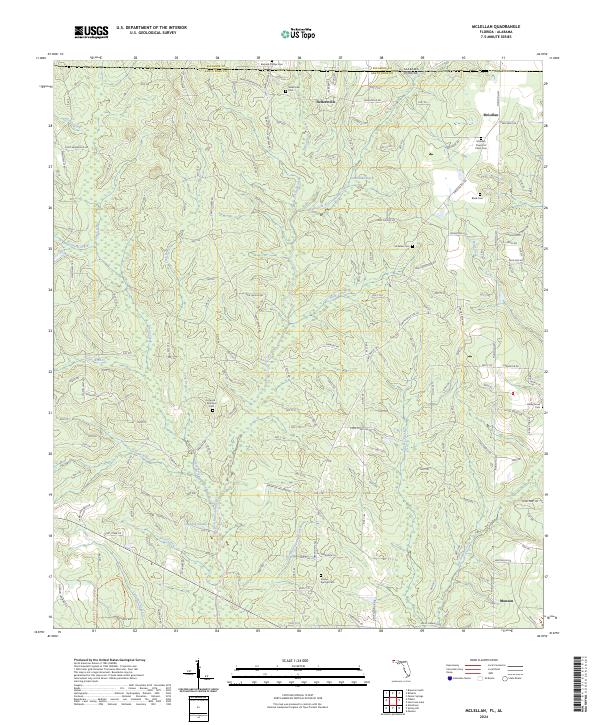 2024 McLellan2024 Print · USGSThe Florida-Alabama borderlands come to life in this recent study of Santa Rosa County. Genealogists can locate family landmarks like Concord Simmons Cem and Black Cem, or trace the timber roads winding through the Blackwater River State Forest.
End of results
Showing maps 1-12 of 12
Top cities near McLellan
Frequently asked questions
- What are the different types of historical maps available for McLellan?
- What is the oldest map of McLellan?
- Where can I purchase historical maps of McLellan for my home or office?
- Where can I download high-res historical maps of McLellan?
- Are there historical topographic maps available for McLellan?
- Is there historical aerial imagery available for McLellan?
- Where are historical maps of McLellan sourced from?