2020s Maps of Suwannee County, Florida
Explore 38 historic maps of Suwannee County from the 2020s. These maps offer a rare glimpse into what life looked like during the 2020s — showing old roads, neighborhoods, homes, and landmarks that have changed or disappeared over time.
Whether you're researching your family's past, planning a metal detecting trip, or studying how Suwannee County's landscape evolved across the 2020s, these high-resolution maps are a powerful tool for exploring the history of this region.
- Focus on a specific era: All maps on this page are from the 2020s, giving you a focused view of this time period.
- See what’s changed: Compare century-old streets, trails, and buildings to today's modern landscape using overlays and satellite layers.
- Research with precision: Use these maps for genealogy, historical research, land use analysis, or educational projects.
- View, download, or print: Maps are fully viewable online in high resolution, and can be downloaded or printed for your own records.
Start exploring Suwannee County's history through authentic maps from the 2020s. This is your window into the past.
Suwannee County, FL maps
(38)- 2021 Map of Dowling Park, 2021 Print
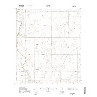 2021 Dowling Park2021 Print · USGSThe Suwannee River corridor comes to life in this recent survey of the Suwannee and Lafayette county line. Researchers can locate family landmarks such as Mims Cem and Head Cem or trace the many natural springs like Baptizing Spring and Blue Spring.
 - 2021 Map of Day, 2021 Print
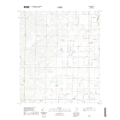 2021 Day2021 Print · USGSLafayette County's interior wetlands and rural settlements are documented here in the early twenty-first century. Researchers can trace family history at Dees Cem or explore the area around Day and the Fort Atkinson Plantation Airpark.
 - 2021 Map of Mayo NE, 2021 Print
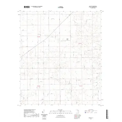 2021 Mayo NE2021 Print · USGSSuwannee County remains a landscape of quiet rural traditions in the early twenty-first century. Genealogists and local historians can trace family ties at sites like Claywood Cem, Smith Cem, and the Cooksey Brothers Airport.
 - 2021 Map of Ellaville, 2021 Print
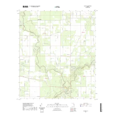 2021 Ellaville2021 Print · USGSThe Suwannee and Withlacoochee Rivers meet in this recent Florida survey, marking the historic tri-county junction near Ellaville. Local historians and genealogists can trace riverfront landmarks like the Old Columbus Cem, Dean Cem, and Blue Springs.
 - 2021 Map of Live Oak West, 2021 Print
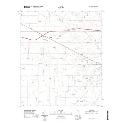 2021 Live Oak West2021 Print · USGSSuwannee County at the start of the 2020s shows the continued growth of Live Oak alongside its deep rural roots. Genealogists and local historians can trace family sites near Rock Cut Cem or locate early settlements like Dickert and Starr.
 - 2021 Map of Falmouth, 2021 Print
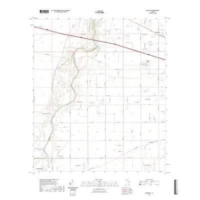 2021 Falmouth2021 Print · USGSSuwannee County and the winding Suwannee River are captured here in the early twenty-first century. Local historians can trace family landmarks like Stroud Cem or follow the natural waters of Falmouth Spring and Anderson Spring.
 - 2021 Map of O'Brien, 2021 Print
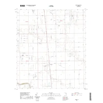 2021 O'Brien2021 Print · USGSSuwannee County in the early twenty-first century remains a landscape of quiet rural roads and small-scale aviation. Family historians can locate several burial grounds like Cedar Grove Cem and O'Brien Cem, or trace the winding course of the Little River.
 - 2021 Map of Mayo, 2021 Print
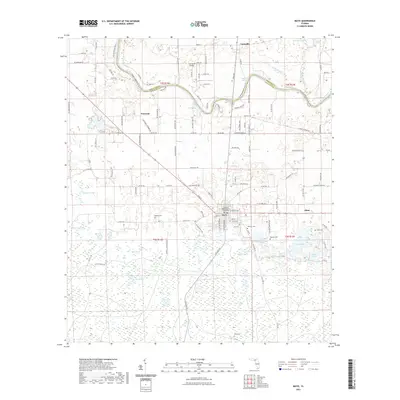 2021 Mayo2021 Print · USGSThe Lafayette County seat at Mayo and the meandering Suwannee River define this North Florida landscape in the early 2020s. Genealogists and local historians can trace family roots at Bethel Cem, Wayfare Cem, and the historic Lafayette County Courthouse.
 - 2021 Map of Madison SE, 2021 Print
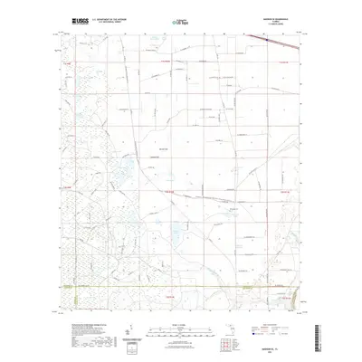 2021 Madison SE2021 Print · USGSThe Florida swamplands at the junction of Madison, Taylor, and Lafayette Counties are captured here in the early twenty-first century. Genealogists and local historians can locate Winquepin Cem and trace the drainage of Blacksnake Creek through San Pedro Bay.
 - 2021 Map of Mayo SE, 2021 Print
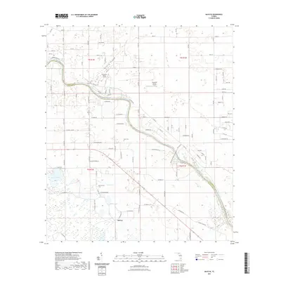 2021 Mayo SE2021 Print · USGSMidway and the Suwannee River borderlands in the early 2020s remain a landscape defined by freshwater springs and rural airstrips. Researchers can trace family roots at Grant Cem or Elliott Cem and locate landmarks like Royal Springs or the Suwannee Belle Airport.
 - 2021 Map of Fort Union, 2021 Print
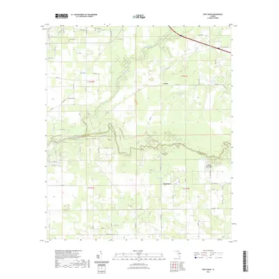 2021 Fort Union2021 Print · USGSSuwannee and Hamilton Counties meet at the confluence of the rivers in the early twenty-first century. Genealogists and local historians can trace burial sites at New Hope Cem and West Lake Cem or explore the rural hubs of Adams and Fort Union.
 - 2021 Map of Live Oak East, 2021 Print
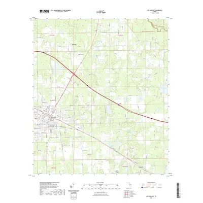 2021 Live Oak East2021 Print · USGSSuwannee County enters the early twenties as a hub of North Florida commerce and aviation. Genealogists and local historians can trace the growth of Live Oak out toward Rixford and Houston, or locate landmarks like the Suwannee County Courthouse.
 - 2021 Map of White Springs West, 2021 Print
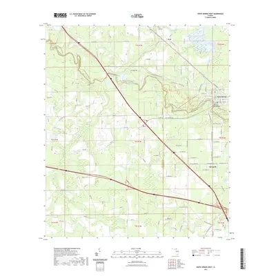 2021 White Springs West2021 Print · USGSThe Suwannee River corridor comes to life in this recent survey, showing the historic river crossing at White Springs and the surrounding pine woods. Genealogists and hikers can trace family sites like Swift Creek Cem or the winding path of the Florida National Scenic Trl.
 - 2021 Map of Wellborn, 2021 Print
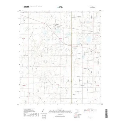 2021 Wellborn2021 Print · USGSSuwannee County's lake-strewn interior is captured here during a period of steady rural continuity. Genealogists and local historians can trace family sites near Wellborn Cemetery, identify the small settlement of Stansel, and locate natural landmarks like Grissom Hole and Bethea Lake.
 - 2021 Map of McAlpin, 2021 Print
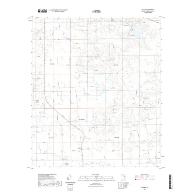 2021 McAlpin2021 Print · USGSSuwannee County near the turn of the 2020s remains a landscape of quiet rural settlements and numerous named ponds. Researchers can trace family sites near Bethlehem Cem or explore the hydrography surrounding McAlpin, Pine Mount, and the Little River.
 - 2021 Map of Hillcoat, 2021 Print
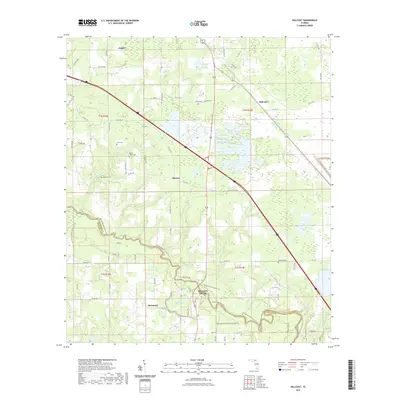 2021 Hillcoat2021 Print · USGSHamilton County's riverfront and rural settlements are captured here in the early twenty-first century as the landscape transitions from the Suwannee River banks to the pine woods. Researchers can locate local landmarks like Suwannee Springs, Mitchell Cem, and the historic community of Marion.
 - 2021 Map of O'Brien SE, 2021 Print
 2021 O'Brien SE2021 Print · USGSThe Suwannee and Columbia County line defines this North Florida landscape in the early twenty-first century. Researchers can trace rural property access and road networks along Co Rd 240, Cypress Lake, and Watermelon Rd.
 - 2021 Map of Branford, 2021 Print
 2021 Branford2021 Print · USGSNorth Florida's river country comes to life in this survey of the region where the Suwannee and Little rivers meet. Researchers can trace family history through numerous local sites like Walker Creek Baptist Cem, Hatchbend Cem, and the river crossing at Hal Adams Bridge.
 - 2021 Map of Hildreth, 2021 Print
 2021 Hildreth2021 Print · USGSThe Suwannee and Columbia County border comes alive in this contemporary record of the Ichetucknee river system. Researchers can locate family landmarks like Santa Fe Cem or explore the wooded terrain around Sandy Point and Ichetucknee Springs.
 - 2024 Map of Live Oak West, 2024 Print
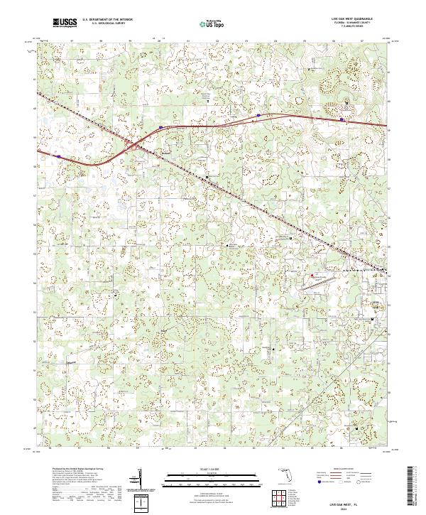 2024 Live Oak West2024 Print · USGSSuwannee County and the outskirts of LIVE OAK are captured here in the early twenty-first century as the town extends toward its rural edges. Local historians can trace family roots through numerous sites like Oak Grove Church Cem, Rock Cut Cem, and the community at Dickert.
 - 2024 Map of Branford, 2024 Print
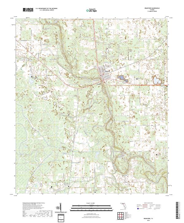 2024 Branford2024 Print · USGSThe Suwannee River valley near Branford is captured here in detail, showing a landscape of river bends and rural settlements. Researchers can trace family history through local landmarks like Hatch Bend Cem, Grady, and the Bethel Baptist Church Cem.
 - 2024 Map of Mayo NE, 2024 Print
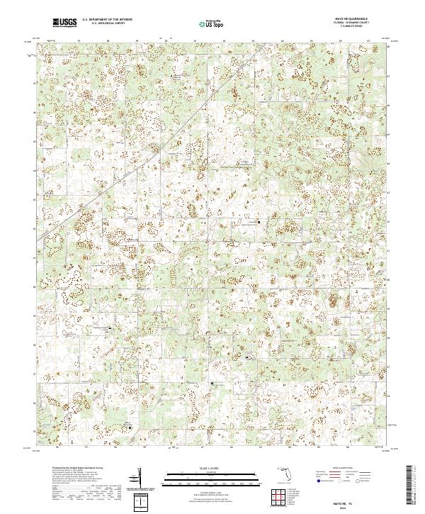 2024 Mayo NE2024 Print · USGSSuwannee County in the present era maintains its rural character through a network of country churches and historic family cemeteries. Genealogists can trace deep local roots at sites like New Zion Cem, Philadelphia Baptist Church Cem, and the Cooksey Brothers Airport.
 - 2024 Map of McAlpin, 2024 Print
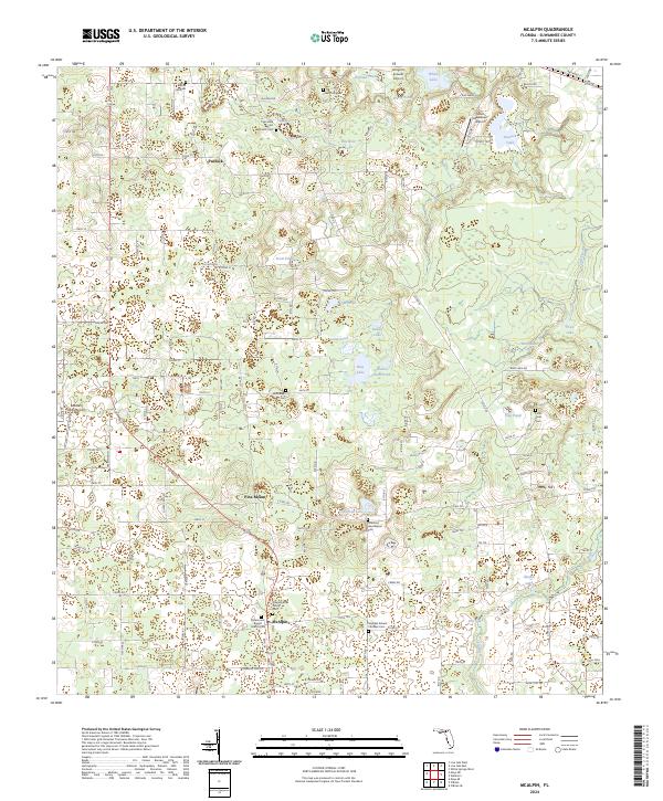 2024 McAlpin2024 Print · USGSSuwannee County's rural heartland is meticulously mapped here in the modern era, showing the intersection of small-town life and Florida's unique lake-pitted terrain. Researchers can locate family landmarks like the Wainwright Family Cem, Pine Mount, and the community around McAlpin.
 - 2024 Map of Hildreth, 2024 Print
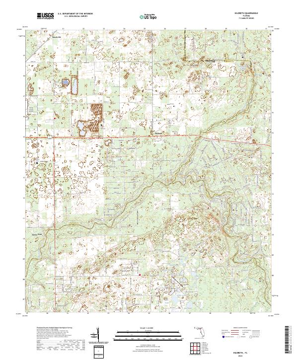 2024 Hildreth2024 Print · USGSSuwannee and Columbia counties are captured here in the 2020s, a landscape defined by the convergence of the Santa Fe and Ichetucknee rivers. Genealogists can trace local roots at Hunts Cem and Santa Fe Cem near the historic crossroads of Hildreth.
 - 2024 Map of Mayo, 2024 Print
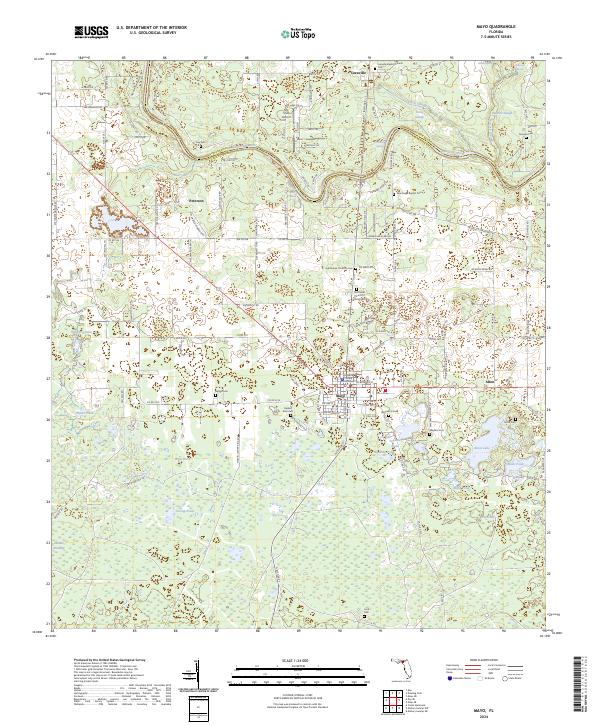 2024 Mayo2024 Print · USGSLafayette County and the winding Suwannee River are captured here in the early twenty-first century, showcasing a landscape of river springs and rural settlements. Genealogists and historians can trace numerous burial grounds like Bethel Cem and Ivey Cem or locate the Lafayette County Courthouse in Mayo.
Showing maps 1-25 of 38
Top cities of Suwannee County
Frequently asked questions
- What are the different types of historical maps available for Suwannee County?
- What is the oldest map of Suwannee County?
- Where can I purchase historical maps of Suwannee County for my home or office?
- Where can I download high-res historical maps of Suwannee County?
- Are there historical topographic maps available for Suwannee County?
- Is there historical aerial imagery available for Suwannee County?
- Where are historical maps of Suwannee County sourced from?