2000s (21st Century) Maps of Forest Highlands, Florida
Explore 5 historic maps of Forest Highlands from the 2000s (21st Century). These maps offer a rare glimpse into what life looked like during the 2000s — showing old roads, neighborhoods, homes, and landmarks that have changed or disappeared over time.
Whether you're researching your family's past, planning a metal detecting trip, or studying how Forest Highlands's landscape evolved across the 2000s, these high-resolution maps are a powerful tool for exploring the history of this region.
- Focus on a specific era: All maps on this page are from the 2000s, giving you a focused view of this time period.
- See what’s changed: Compare century-old streets, trails, and buildings to today's modern landscape using overlays and satellite layers.
- Research with precision: Use these maps for genealogy, historical research, land use analysis, or educational projects.
- View, download, or print: Maps are fully viewable online in high resolution, and can be downloaded or printed for your own records.
Start exploring Forest Highlands's history through authentic maps from the 2000s. This is your window into the past.
Forest Highlands, FL maps
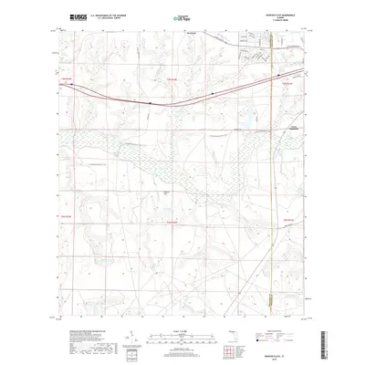
(5)- 2012 Map of Spencer Flats, 2012 Print
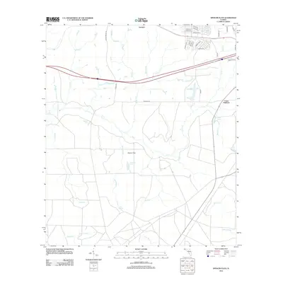 2012 Spencer Flats2012 Print · USGSCovers Forest Highlands, including Okaloosa County, Walton County, and other nearby areas
 - 2015 Map of Spencer Flats, 2015 Print
 2015 Spencer Flats2015 Print · USGSCovers Forest Highlands, including Okaloosa County, Walton County, and other nearby areas
 - 2018 Map of Spencer Flats, 2018 Print
 2018 Spencer Flats2018 Print · USGSCovers Forest Highlands, including Okaloosa County, Walton County, and other nearby areas
 - 2021 Map of Spencer Flats, 2021 Print
 2021 Spencer Flats2021 Print · USGSCovers Forest Highlands, including Okaloosa County, Walton County, and other nearby areas
 - 2024 Map of Spencer Flats, 2024 Print
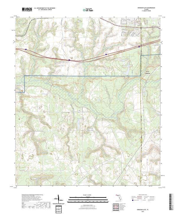 2024 Spencer Flats2024 Print · USGSThe Okaloosa and Walton county line meets at Eglin Air Force Base in the mid-2020s, showing a landscape of tactical reservations and rising residential pockets. Researchers can trace the path of the Florida National Scenic Trl past Walton Pond and the headwaters of Titi Creek.
End of results
Showing maps 1-5 of 5
Top cities near Forest Highlands
- Crestview historical maps
- Niceville historical maps
- Valparaiso historical maps
- DeFuniak Springs historical maps
- Freeport historical maps
- Paxton historical maps
Frequently asked questions
- What are the different types of historical maps available for Forest Highlands?
- What is the oldest map of Forest Highlands?
- Where can I purchase historical maps of Forest Highlands for my home or office?
- Where can I download high-res historical maps of Forest Highlands?
- Are there historical topographic maps available for Forest Highlands?
- Is there historical aerial imagery available for Forest Highlands?
- Where are historical maps of Forest Highlands sourced from?