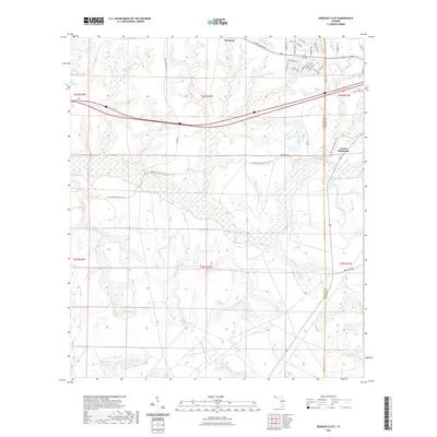
2021 Map of Spencer Flats
USGS Topo · Published 2021About this map
Deerland sits at the northern edge of this landscape, where the residential grids of the Panhandle meet the wetlands and creek systems of the interior. The terrain is defined by a complex network of waterways, including Long Cr, Honey Cr, and Blue Spring Cr, which feed into the broader basin. In the center, the eponymous Spencer Flats and Kemmons Pond mark a low-lying region of distinct hydrography.
Find a feature on this map
59 named features on this map. Tap any name to fly to it.
Don’t see what you’re looking for? This feature index may not catch every label — zoom into the map to look around manually.
Map Details
Editions of this 2021 Spencer Flats Map
This is the sole edition of this map. No revisions or reprints were ever made.
Other maps of this area

1934 · Holt
USGS Topo · 1:48,000

1934 · Niceville
USGS Topo · 1:48,000

1936 · Niceville
USGS Topo · 1:62,500

1937 · Holt
USGS Topo · 1:62,500

1949 · Crestview
USGS Topo · 1:62,500

1949 · Laurel Hill
USGS Topo · 1:62,500

1950 · Laurel Hill
USGS Topo · 1:62,500

1951 · Crestview
USGS Topo · 1:62,500

1956 · Niceville
USGS Topo · 1:62,500

1956 · Holt
USGS Topo · 1:62,500