Old Maps of Mount Pleasant, Georgia for Hiking & Exploration
Hike through history with 13 historic maps of Mount Pleasant. Explore old trails, ghost towns, and forgotten backroads — perfect for outdoor adventurers and local explorers.
- Rediscover forgotten places: Map out old mining camps, roads, and footpaths that no longer exist on modern maps.
- Layer with modern tools: Combine with LiDAR or satellite views to plan hikes through historical terrain.
- Made for exploration: Popular among hikers, overlanders, and local history lovers.
Use these maps to find adventure and explore the hidden past of Mount Pleasant.
Mount Pleasant, GA maps
(13)- 1916 Map of Irwinton, 1963 Print
 1916 Irwinton1963 Print · USGSWilkinson County is captured here in the years before the Great War, showing a network of rural settlements connected by the Central of Georgia railroad. Genealogists can trace family landmarks and community centers like Goldens Mill, Hazelino School, and Toomsboro.2 unique versions available
 - 1920 Map of Irwinton
 1920 Irwinton1920 Print · USGSWilkinson County in the years following the Great War reveals a landscape of scattered rural hamlets and river-bottom agriculture. Researchers can trace the lineage of local landmarks like Goldens Mill, Myrtle Spring Church, and the winding Oconee River corridor.2 unique versions available
 - 1957 Map of Macon
 1957 Macon1957 Print · USGSMid-century Georgia comes into focus as the river-and-rail economy shifts toward a new era of aviation and highway travel. Trace family roots and vanished landmarks across the Ocmulgee River valley from Macon to the onion fields of Vidalia.
 - 1958 Map of Macon
 1958 Macon1958 Print · USGSMiddle Georgia during the late fifties shows the post-war expansion of Warner Robins alongside the deep-rooted rail hubs of the Central of Georgia line. Researchers can trace the river-bound boundaries of numerous counties and find local landmarks like Veterans Memorial Hospital and Robins AFB.
 - 1964 Map of Macon
 1964 Macon1964 Print · USGSCentral Georgia in the mid-sixties is defined by its major river valleys and a booming military presence. Genealogists and historians can trace the growth of Warner Robins near Robins AFB or locate smaller rural junctions like Allentown and Jeffersonville along the historic Southern railroad lines.2 unique versions available
 - 1973 Map of Napier Pond, 1977 Print
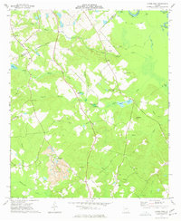 1973 Napier Pond1977 Print · USGSWilkinson County was defined by its clay industry and deep family roots in the early seventies. Genealogists can locate numerous family burial sites like Byington Cem and Bentley Cem, while industrial historians can trace the massive Clay Pit near Commissioner Creek.
 - 1978 Map of Macon, 1980 Print
 1978 Macon1980 Print · USGSCentral Georgia during the late seventies reveals a landscape shaped by military expansion and clay mining. Genealogists and local historians can trace the development of Warner Robins, the grounds of Wesleyan College, and the rural surroundings of Griswoldville.2 unique versions available
 - 1988 Map of Macon, 1989 Print
 1988 Macon1989 Print · USGSCentral Georgia is captured during the late eighties, showing the expansive river systems and growing urban hubs of the regional interior. Genealogists and historians can trace the paths of the Central of Georgia Railroad and locate communities like Warner Robbins, Dublin, and Sandersville.
 - 2011 Map of Napier Pond, 2011 Print
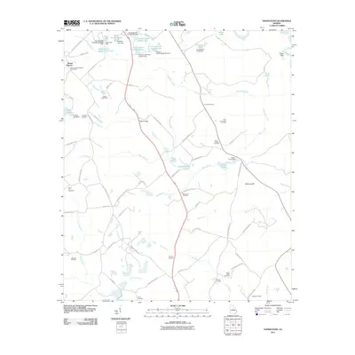 2011 Napier Pond2011 Print · USGSMount Pleasant and rural Baldwin County are shown here in the early twenty-first century as a landscape of family cemeteries and institutional land. Genealogists can trace sites like the Snow Hill Cemeteries, Mount Nebo Cemetery, and the Price-council-Carr Cemetery across this drainage basin.
 - 2014 Map of Napier Pond, 2014 Print
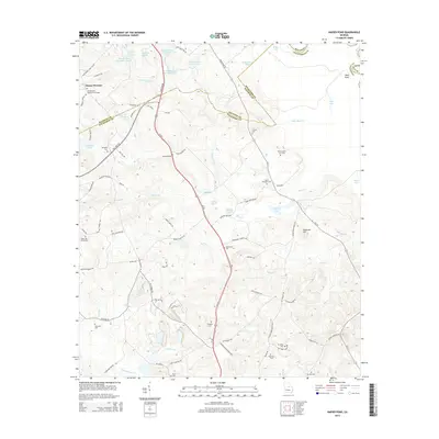 2014 Napier Pond2014 Print · USGSThe Georgia countryside south of Milledgeville is documented here in the early twenty-first century, showing the legacy of local families and state institutions. Genealogists can locate numerous family burial sites including Byington Cem, Nunn Wheeler Cem, and Price-council Carr Cem.
 - 2017 Map of Napier Pond, 2017 Print
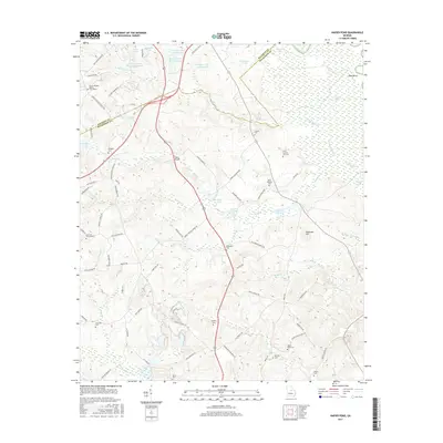 2017 Napier Pond2017 Print · USGSBaldwin and Wilkinson counties are mapped here in the late twenty-tens, showing a rural landscape of scattered family cemeteries and hospital-related ponds. Researchers can trace local genealogy through sites like Price-council-Carr Cem, Nunn-Wheeler Cem, and the church at Mount Pleasant Baptist Churchyard.
 - 2020 Map of Napier Pond, 2020 Print
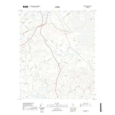 2020 Napier Pond2020 Print · USGSSpanning the Baldwin and Wilkinson county line in recent years, this map reveals a landscape defined by small family burial grounds and winding tributaries. Genealogists can trace local heritage at Macedonia Cem, Price-Council-Carr Cem, and Johns Bridge over Black Creek.
 - 2024 Map of Napier Pond, 2024 Print
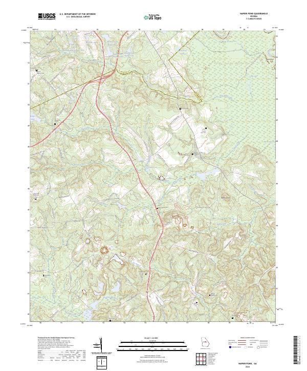 2024 Napier Pond2024 Print · USGSWilkinson and Baldwin counties appear here as a land of creek-fed bottomlands and high family heritage in the early twenty-first century. Researchers can locate numerous family burial grounds including Price - Council - Carr Cem, Stubbs Cem, and the Snow Hill Methodist Cem.
End of results
Showing maps 1-13 of 13
Top cities near Mount Pleasant
- Milledgeville historical maps
- Hardwick historical maps
- Gordon historical maps
- Ivey historical maps
- McIntyre historical maps
- Irwinton historical maps
See more
Frequently asked questions
- What are the different types of historical maps available for Mount Pleasant?
- What is the oldest map of Mount Pleasant?
- Where can I purchase historical maps of Mount Pleasant for my home or office?
- Where can I download high-res historical maps of Mount Pleasant?
- Are there historical topographic maps available for Mount Pleasant?
- Is there historical aerial imagery available for Mount Pleasant?
- Where are historical maps of Mount Pleasant sourced from?