2020s Maps of Bryan County, Georgia
Explore 34 historic maps of Bryan County from the 2020s. These maps offer a rare glimpse into what life looked like during the 2020s — showing old roads, neighborhoods, homes, and landmarks that have changed or disappeared over time.
Whether you're researching your family's past, planning a metal detecting trip, or studying how Bryan County's landscape evolved across the 2020s, these high-resolution maps are a powerful tool for exploring the history of this region.
- Focus on a specific era: All maps on this page are from the 2020s, giving you a focused view of this time period.
- See what’s changed: Compare century-old streets, trails, and buildings to today's modern landscape using overlays and satellite layers.
- Research with precision: Use these maps for genealogy, historical research, land use analysis, or educational projects.
- View, download, or print: Maps are fully viewable online in high resolution, and can be downloaded or printed for your own records.
Start exploring Bryan County's history through authentic maps from the 2020s. This is your window into the past.
Bryan County, GA maps
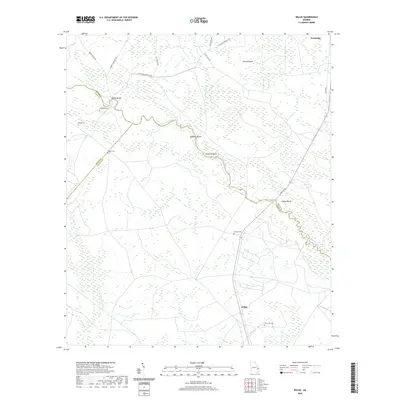
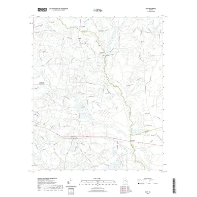
(34)- 2020 Map of Eden, 2020 Print
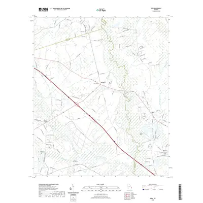 2020 Eden2020 Print · USGSCovers Bryan County, including Black Creek, Blitchton, and other nearby areas
 - 2020 Map of Meldrim SE, 2020 Print
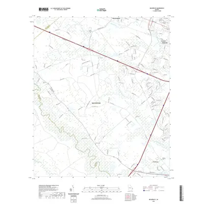 2020 Meldrim SE2020 Print · USGSCovers Bryan County, including Savannah, Pooler, and other nearby areas
 - 2020 Map of Meldrim SW, 2020 Print
 2020 Meldrim SW2020 Print · USGSCovers Bryan County, including Ellabell, Chatham County, and other nearby areas
 - 2020 Map of Groveland, 2020 Print
 2020 Groveland2020 Print · USGSCovers Bryan County, including Pembroke, Reka, and other nearby areas
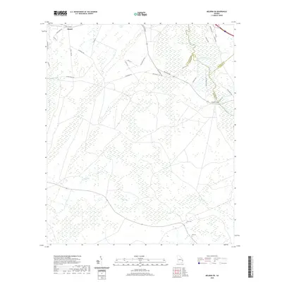
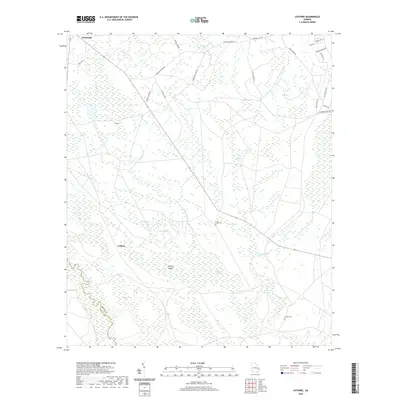
 - 2020 Map of Willie, 2020 Print
 2020 Willie2020 Print · USGSCovers Bryan County, including Pembroke, Willie, and other nearby areas
 - 2020 Map of Lanier, 2020 Print
 2020 Lanier2020 Print · USGSCovers Bryan County, including Pembroke, Lanier, and other nearby areas
 - 2020 Map of Daisy, 2020 Print
 2020 Daisy2020 Print · USGSCovers Bryan County, including Daisy, Edna, and other nearby areas
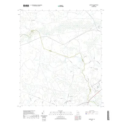
 - 2020 Map of Glissons Millpond, 2020 Print
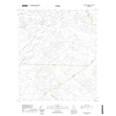 2020 Glissons Millpond2020 Print · USGSCovers Bryan County, including Camp Olvier, Liberty County, and other nearby areas
 - 2020 Map of Limerick NW, 2020 Print
 2020 Limerick NW2020 Print · USGSCovers Bryan County, including Fleming, Liberty County, and other nearby areas
 - 2020 Map of Oak Level, 2020 Print
 2020 Oak Level2020 Print · USGSCovers Bryan County, including Buckhead, Fancy Hall, and other nearby areas
 - 2020 Map of Saint Catherines Sound, 2020 Print
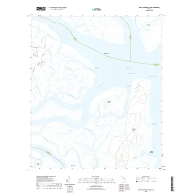 2020 Saint Catherines Sound2020 Print · USGSCovers Bryan County, including Chatham County, Liberty County, and other nearby areas
 - 2020 Map of Trinity, 2020 Print
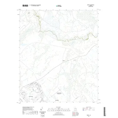 2020 Trinity2020 Print · USGSCovers Bryan County, including Flemington, Trinity, and other nearby areas
 - 2020 Map of Burroughs, 2020 Print
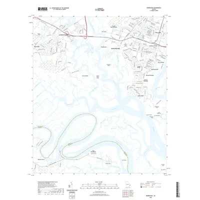 2020 Burroughs2020 Print · USGSCovers Bryan County, including Savannah, Georgetown, and other nearby areas
 - 2020 Map of Richmond Hill, 2020 Print
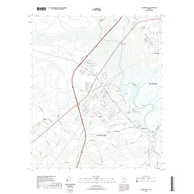 2020 Richmond Hill2020 Print · USGSCovers Bryan County, including Savannah, Richmond Hill, and other nearby areas
 - 2020 Map of Limerick SE, 2020 Print
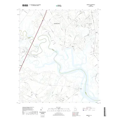 2020 Limerick SE2020 Print · USGSCovers Bryan County, including Richmond Hill, Midway, and other nearby areas
 - 2020 Map of Letford, 2020 Print
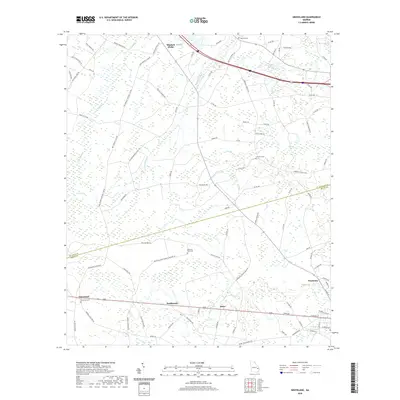
 2020 Letford2020 Print · USGSCovers Bryan County, including Pembroke, Letford, and other nearby areas
 - 2020 Map of Dorchester, 2020 Print
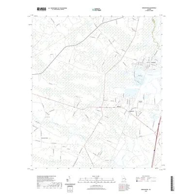 2020 Dorchester2020 Print · USGSCovers Bryan County, including Midway, Riceboro, and other nearby areas
 - 2024 Map of Limerick NW, 2024 Print
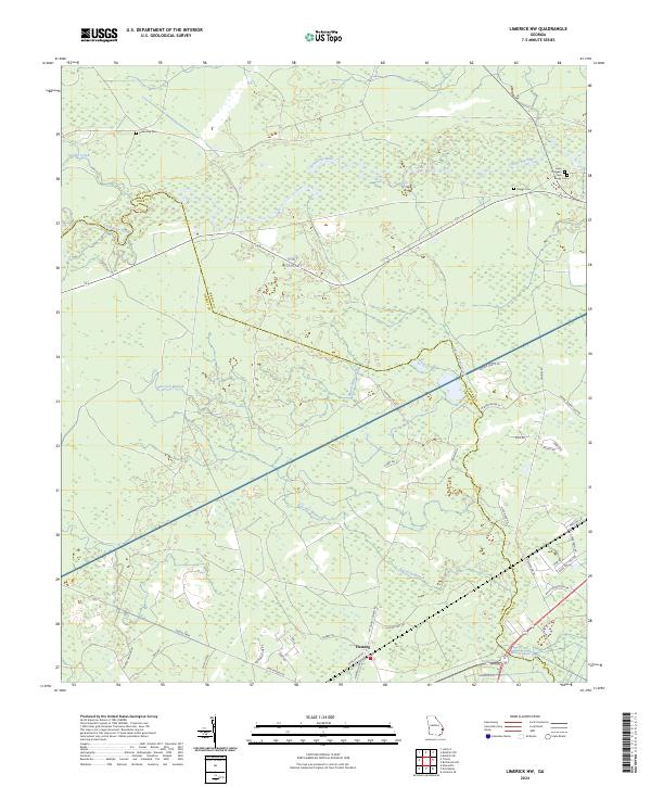 2024 Limerick NW2024 Print · USGSCoastal Georgia's rural character and military borders are captured here in the contemporary era. Researchers can trace family history through sites like Green Bay Cem or follow the path of the Canoochee River and the historical Dodge Tram.
 - 2024 Map of Trinity, 2024 Print
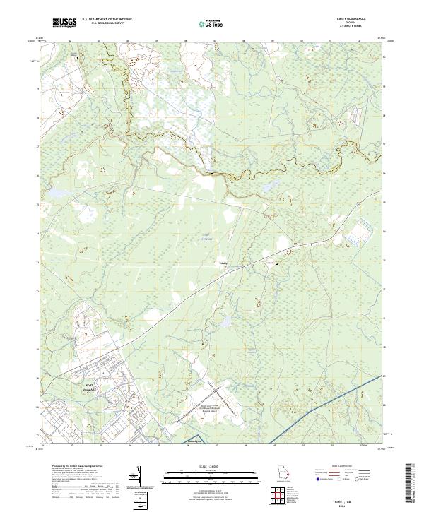 2024 Trinity2024 Print · USGSLiberty and Bryan counties are shown in this recent survey, dominated by the grounds of Fort Stewart. Genealogists and researchers can trace local landmarks like Trinity Cem, Thomas Hill Cem, and the winding Canoochee River.
 - 2024 Map of Meldrim SW, 2024 Print
 2024 Meldrim SW2024 Print · USGSThe wooded corridors of Bryan County meet the Ogeechee River and the northern reaches of Fort Stewart in this modern survey. Researchers can locate family landmarks like Clyde Cem and Wise Cem or trace the rural routes around Ellabell.
 - 2024 Map of Willie, 2024 Print
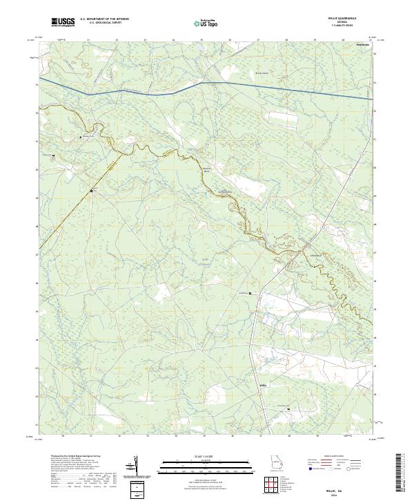 2024 Willie2024 Print · USGSCoastal Georgia's riverine landscape is captured here in the contemporary era, showing where the boundaries of Bryan, Evans, and Liberty counties meet. Genealogists can trace family heritage at Strum Bay Cem and Jerusalem Cem or follow the banks of the Canoochee River.
 - 2024 Map of Glissons Millpond, 2024 Print
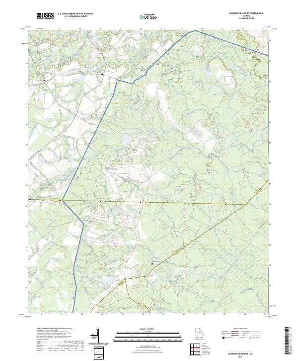 2024 Glissons Millpond2024 Print · USGSCoastal Plain wetlands and the sprawling grounds of Fort Stewart define this corner of Georgia in the early twenty-first century. Researchers can trace family history through local landmarks like Antioch Baptist Church Cem, Sand Hill Cem, and the waters of Barnard Mill.
 - 2024 Map of Groveland, 2024 Print
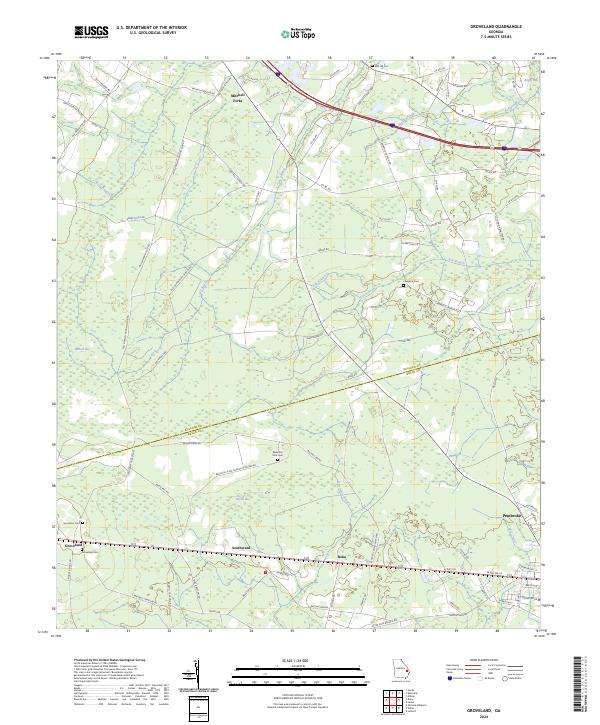 2024 Groveland2024 Print · USGSBulloch and Bryan Counties maintain their rural character in this modern look at the Georgia coastal plain. Researchers can trace family roots through Beautiful Zion Church Cemetery, Jerusalem Cem, and established settlements like Groveland and Mitchell Forks.
 - 2024 Map of Meldrim SE, 2024 Print
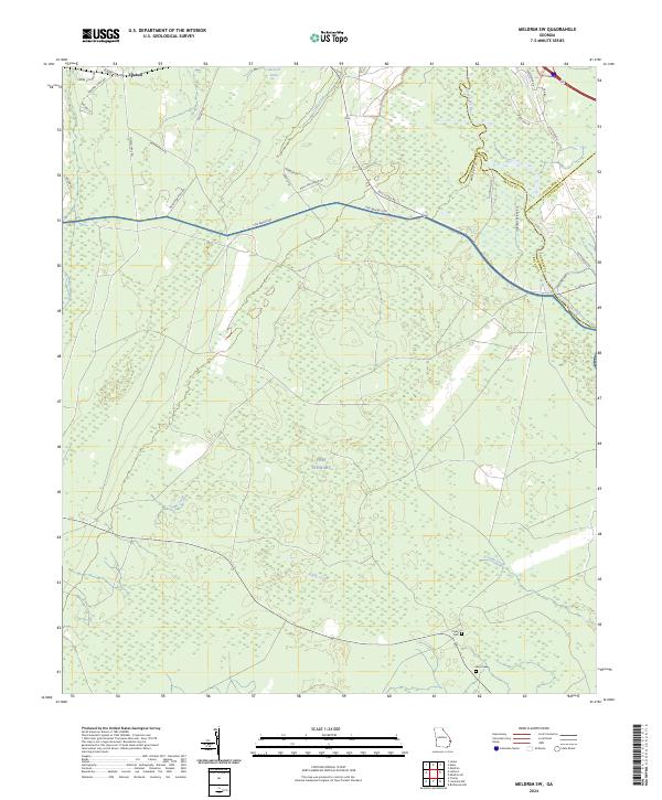
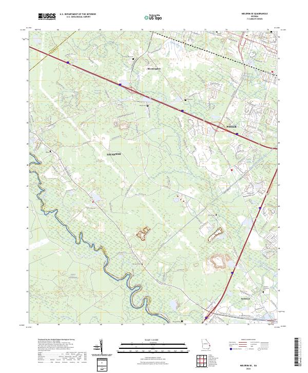 2024 Meldrim SE2024 Print · USGSCoastal Georgia's lowlands west of Savannah are captured here in a period of rapid suburban growth. Genealogists and local historians can locate numerous burial sites like Ennis Cem and Brickyard Cem while tracing the path of the historic Savannah and Ogeechee Canal.
 - 2024 Map of Letford, 2024 Print
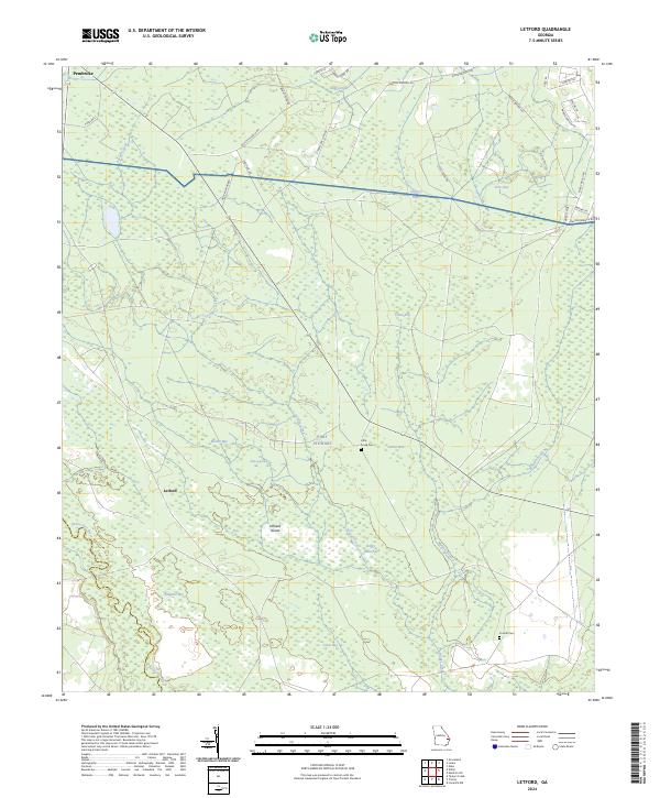 2024 Letford2024 Print · USGSThe coastal plains of Bryan County come into focus in the 2020s, revealing a landscape of dense wetlands and military reservation land. Genealogists and local historians can locate remote landmarks such as Little Creek Cem and Corinth Cem near the Canoochee River.
Showing maps 1-25 of 34
Top cities of Bryan County
Frequently asked questions
- What are the different types of historical maps available for Bryan County?
- What is the oldest map of Bryan County?
- Where can I purchase historical maps of Bryan County for my home or office?
- Where can I download high-res historical maps of Bryan County?
- Are there historical topographic maps available for Bryan County?
- Is there historical aerial imagery available for Bryan County?
- Where are historical maps of Bryan County sourced from?