Old Maps of Jackson, Georgia for Genealogy
Trace your family roots with 22 historic maps of Jackson. These high-res maps reveal old neighborhoods, homesites, landmarks, and streets — helping you uncover where your ancestors lived and how the area evolved over time.
- Explore historic neighborhoods: Identify where your relatives may have lived in the 1800s or 1900s.
- Compare maps over time: Trace the changes in streets, buildings, and landmarks for multi-generational research.
- Perfect for genealogy & ancestry research: Used by family historians and researchers to map out lineage and migration.
These maps are an incredible resource for exploring your personal connection to Jackson's past.
Jackson, GA maps
(22)- 1953 Map of Atlanta, 1965 Print
 1953 Atlanta1965 Print · USGSThe growing Atlanta metro and the industrial corridors of Eastern Alabama are captured here during the mid-century transition. Researchers can trace the rail-to-road shift through hubs like Anniston and La Grange or locate sites within Fort McClellan.2 unique versions available
 - 1953 Map of Athens, 1966 Print
 1953 Athens1966 Print · USGSGeorgia's Piedmont and Savannah River borderlands come alive in this mid-century survey of the region surrounding Athens and Augusta. Trace the rail-and-river economy through the Georgia RR and landmarks like the Fort Gordon Military Reservation.3 unique versions available
 - 1957 Map of Atlanta
 1957 Atlanta1957 Print · USGSAtlanta and the Alabama borderlands appear here in the mid-fifties, capturing the region's post-war suburban and industrial transition. Trace the development of early transport hubs and military sites like Fort McPherson, Anniston, and the Kennesaw Mountain National Battlefield Park.
 - 1958 Map of Athens
 1958 Athens1958 Print · USGSNorth-central Georgia and the Savannah River valley are captured in the late fifties, showing the region as the new reservoirs were filling. Researchers can trace historic rail lines like the Georgia RR and locate rural landmarks such as Social Circle, Graves Mountain, and the Fort Gordon Military Reservation.
 - 1958 Map of Atlanta
 1958 Atlanta1958 Print · USGSMid-century Georgia and Alabama are shown in this regional study of the corridor between the Chattahoochee River and the Appalachian foothills. Local historians can trace the development of suburban Atlanta alongside vital landmarks like Stone Mountain, Dobbins AFB, and the Seaboard Air Line rail routes.
 - 1959 Map of Athens
 1959 Athens1959 Print · USGSNortheast Georgia and the South Carolina borderlands appear here in the mid-fifties, during a decade of infrastructure growth. Genealogists and historians can trace the rail-and-river geography of towns like Social Circle, the sprawl of Fort Gordon Military Reservation, and the newly formed Clark Hill Reservoir.
 - 1963 Map of Athens
 1963 Athens1963 Print · USGSGeorgia's Piedmont and the Savannah River valley are captured in the early sixties as major reservoirs and military installations reshaped the landscape. Researchers can trace the development of Clark Hill Reservoir, locate the Fort Gordon Military Reservation, and find historic towns like Social Circle and Eatonton.
 - 1964 Map of Jackson, 1965 Print
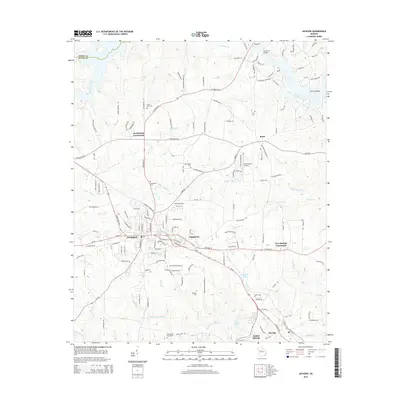
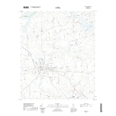
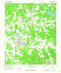 1964 Jackson1965 Print · USGSThe county seat of Jackson and the surrounding Butts County countryside are captured here in the mid-sixties as the region balanced industry and recreation. Researchers can locate family burial grounds like Etheredge Cem or visit community hubs such as Stark Ch and Flovilla.3 unique versions available
 - 1964 Map of Locust Grove, 1965 Print
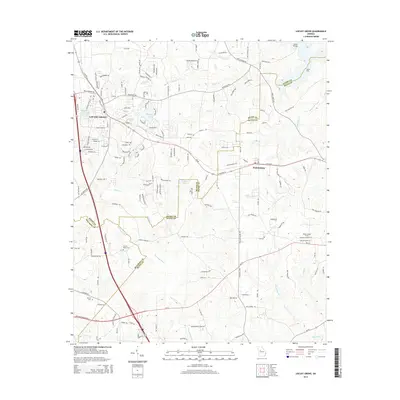
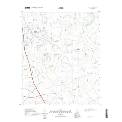
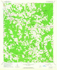 1964 Locust Grove1965 Print · USGSThe Piedmont landscape of Henry and Butts Counties is shown during the mid-sixties, centered on the railroad towns of Locust Grove and Jenkinsburg. Genealogists can trace family names at the Beersheba Cem or locate rural meeting places like England Chapel.3 unique versions available
 - 1979 Map of Griffin, 1980 Print
 1979 Griffin1980 Print · USGSWest-central Georgia at the close of the seventies reveals a landscape of historic rail towns and growing suburbs between the major river systems. Trace the rail lines and early road networks connecting Griffin, Peachtree City, and Newnan, or locate smaller settlements like Senoia and Experiment.3 unique versions available
 - 1981 Map of Milledgeville
 1981 Milledgeville1981 Print · USGSMiddle Georgia in the early eighties shows a landscape shaped by major reservoirs and deep forests. Genealogists and historians can trace the rail networks of the Southern and Central of Georgia through towns like Monticello and Eatonton.2 unique versions available
 - 1988 Map of Athens
 1988 Athens1988 Print · USGSThe Georgia Piedmont and South Carolina borderlands appear in the late eighties as a landscape of vast reservoirs and growing towns. Researchers can trace the legacy of the Georgia RR connecting Athens and Augusta, or locate landmarks within Oconee National Forest.
 - 2011 Map of Jackson, 2011 Print
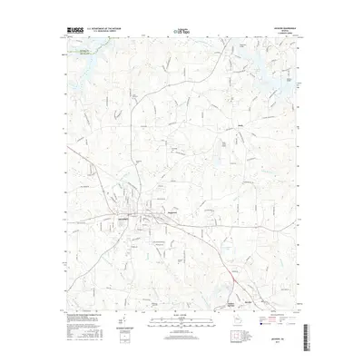
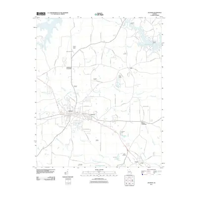 2011 Jackson2011 Print · USGSCovers Jackson, including Flovilla, Iron Springs Crossroads, and other nearby areas
 - 2011 Map of Locust Grove, 2011 Print
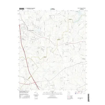
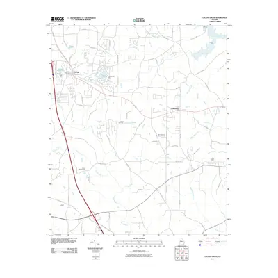 2011 Locust Grove2011 Print · USGSCovers Jackson, including Locust Grove, Jenkinsburg, and other nearby areas
 - 2014 Map of Jackson, 2014 Print
 2014 Jackson2014 Print · USGSCovers Jackson, including Flovilla, Iron Springs Crossroads, and other nearby areas
 - 2014 Map of Locust Grove, 2014 Print
 2014 Locust Grove2014 Print · USGSCovers Jackson, including Locust Grove, Jenkinsburg, and other nearby areas
 - 2017 Map of Jackson, 2017 Print
 2017 Jackson2017 Print · USGSCovers Jackson, including Flovilla, Iron Springs Crossroads, and other nearby areas
 - 2017 Map of Locust Grove, 2017 Print
 2017 Locust Grove2017 Print · USGSCovers Jackson, including Locust Grove, Jenkinsburg, and other nearby areas
 - 2020 Map of Jackson, 2020 Print
 2020 Jackson2020 Print · USGSCovers Jackson, including Flovilla, Iron Springs Crossroads, and other nearby areas
 - 2020 Map of Locust Grove, 2020 Print
 2020 Locust Grove2020 Print · USGSCovers Jackson, including Locust Grove, Jenkinsburg, and other nearby areas
 - 2024 Map of Locust Grove, 2024 Print
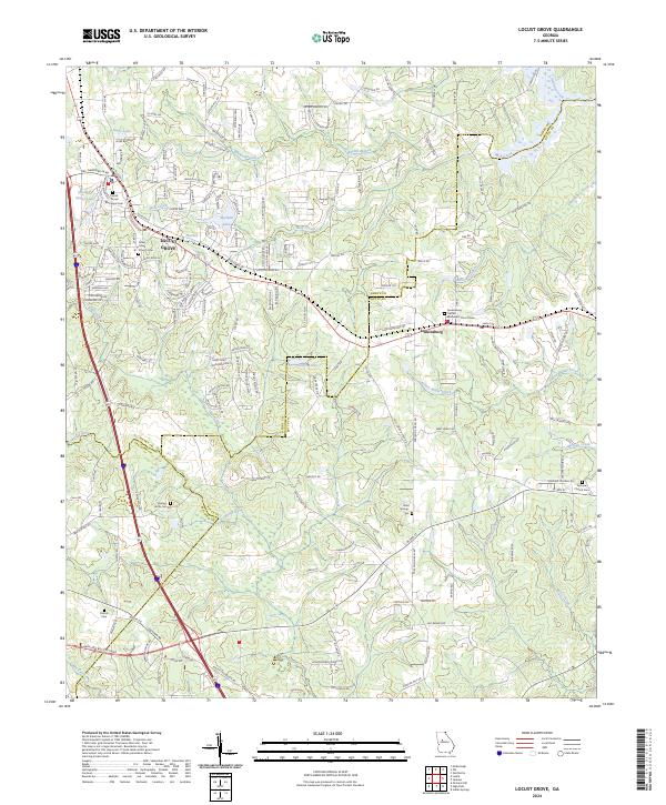 2024 Locust Grove2024 Print · USGSLocust Grove and Jenkinsburg are shown in great detail during the current era of growth across Henry and Butts counties. Family historians can trace local heritage through several burial sites like Henley-Heflin Cem, Bold Springs Cem, and Patrick Cem.
 - 2024 Map of Jackson, 2024 Print
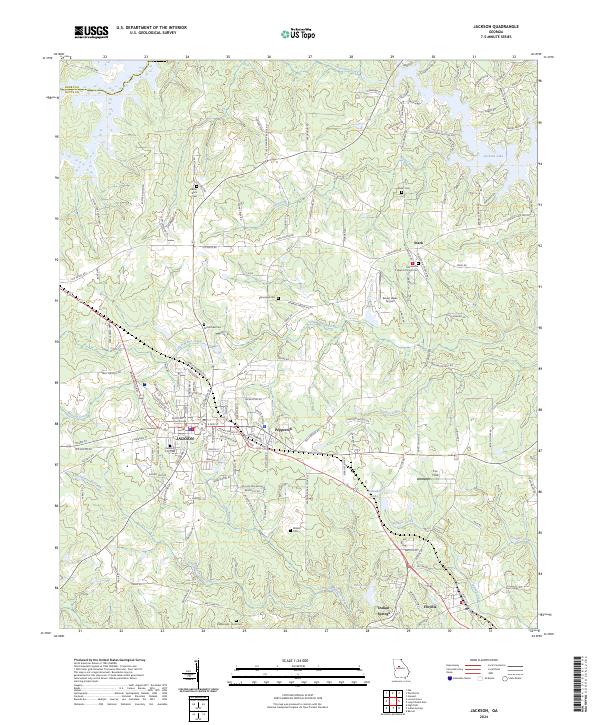 2024 Jackson2024 Print · USGSJackson and its surrounding Butts County communities are shown here in the 2020s, highlighting the intersection of local government and rural landscape. Genealogists can trace family sites at Jackson City Cem, Grier Cem, and the Macedonia Baptist Church Cem.
End of results
Showing maps 1-22 of 22
Top cities near Jackson
- Stockbridge historical maps
- McDonough historical maps
- Locust Grove historical maps
- Barnesville historical maps
- Forsyth historical maps
- Flovilla historical maps
See more
Frequently asked questions
- What are the different types of historical maps available for Jackson?
- What is the oldest map of Jackson?
- Where can I purchase historical maps of Jackson for my home or office?
- Where can I download high-res historical maps of Jackson?
- Are there historical topographic maps available for Jackson?
- Is there historical aerial imagery available for Jackson?
- Where are historical maps of Jackson sourced from?