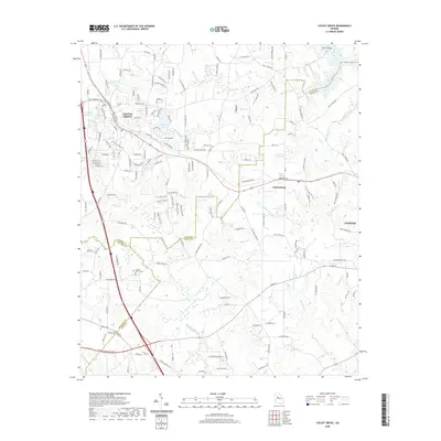
2020 Map of Locust Grove
USGS Topo · Published 2020About this map
The town of Locust Grove serves as a primary hub of settlement in this part of Georgia, situated where the northern headwaters of Wolf Creek and Indian Creek begin to drain the local topography. This 2020 survey captures a region defined by its intersection of three counties—Henry, Butts, and Spalding—marked by small community clusters and family burial grounds like the Henley - Heflin Cemetery and Patrick Cemetery. Further south, Jenkinsburg sits along the transit corridor between larger population centers, while the eastern edge of the map reaches the outskirts of Jackson. Water is a defining feature of the landscape, from the wide Tussahaw River in the south to a network of private and community reservoirs including Southern States Lake, Hetrick Lake, and Skyland Lake near the residential core.
Find a feature on this map
166 named features on this map. Tap any name to fly to it.
Don’t see what you’re looking for? This feature index may not catch every label — zoom into the map to look around manually.
Map Details
Editions of this 2020 Locust Grove Map
This is the sole edition of this map. No revisions or reprints were ever made.
Other maps of this area

1951 · Forsyth
USGS Topo · 1:62,500

1951 · Barnesville
USGS Topo · 1:62,500

1953 · Atlanta
USGS Topo · 1:250,000

1953 · Athens
USGS Topo · 1:250,000

1957 · Atlanta
USGS Topo · 1:250,000

1958 · Athens
USGS Topo · 1:250,000

1958 · Atlanta
USGS Topo · 1:250,000

1959 · Athens
USGS Topo · 1:250,000

1963 · Athens
USGS Topo · 1:250,000

1964 · Luella
USGS Topo · 1:24,000