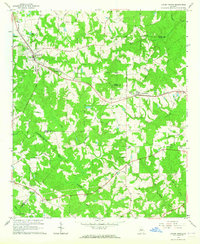
1964 Map of Locust Grove
USGS Topo · Published 1965About this map
Locust Grove and Jenkinsburg anchor this mid-1960s survey of the crossroads where Henry, Butts, and Spalding Counties meet. The Southern RR cuts a diagonal path through the landscape, dictating the development of these small Piedmont settlements. Rural life is evidenced by a high density of community landmarks, including England Chapel, Shiloh Ch, and Bold Spring Ch, alongside family-named burial grounds like Henley-Heflin Cem and Patrick Cem.
Find a feature on this map
51 named features on this map. Tap any name to fly to it.
Don’t see what you’re looking for? This feature index may not catch every label — zoom into the map to look around manually.
Map Details
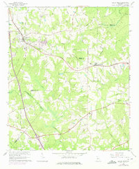
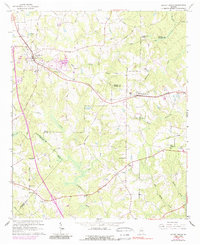
Editions of this 1964 Locust Grove Map
3 editions found
Other maps of this area

1951 · Forsyth
USGS Topo · 1:62,500

1951 · Barnesville
USGS Topo · 1:62,500

1953 · Atlanta
USGS Topo · 1:250,000

1953 · Athens
USGS Topo · 1:250,000

1957 · Atlanta
USGS Topo · 1:250,000

1958 · Athens
USGS Topo · 1:250,000

1958 · Atlanta
USGS Topo · 1:250,000

1959 · Athens
USGS Topo · 1:250,000

1963 · Athens
USGS Topo · 1:250,000

1964 · Luella
USGS Topo · 1:24,000