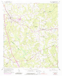
1964 Map of Locust Grove
USGS Topo · Published 1989About this map
Locust Grove and Jenkinsburg anchor this mid-century portrait of the Georgia Piedmont, where the Southern railroad line dictates the local geography of commerce and transit. The landscape is defined by its rural density, featuring a high concentration of community centers such as Beersheba Ch, England Chapel, and Bold Spring Ch. For genealogists, the map is particularly revealing, documenting numerous family-named landmarks including Patrick Cem, Woodward Cem, and the unique Henley-Hellin Cem tucked between agricultural fields.
Find a feature on this map
47 named features on this map. Tap any name to fly to it.
Don’t see what you’re looking for? This feature index may not catch every label — zoom into the map to look around manually.
Map Details
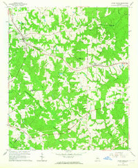
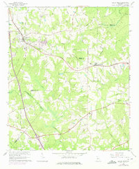
Editions of this 1964 Locust Grove Map
3 editions found
Other maps of this area

1951 · Forsyth
USGS Topo · 1:62,500

1951 · Barnesville
USGS Topo · 1:62,500

1953 · Atlanta
USGS Topo · 1:250,000

1953 · Athens
USGS Topo · 1:250,000

1957 · Atlanta
USGS Topo · 1:250,000

1958 · Athens
USGS Topo · 1:250,000

1958 · Atlanta
USGS Topo · 1:250,000

1959 · Athens
USGS Topo · 1:250,000

1963 · Athens
USGS Topo · 1:250,000

1964 · Luella
USGS Topo · 1:24,000