Loading...
Loading map...1964 Map of Locust Grove
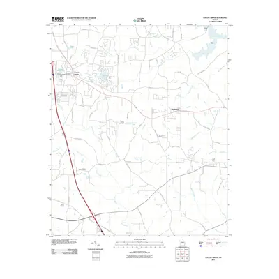
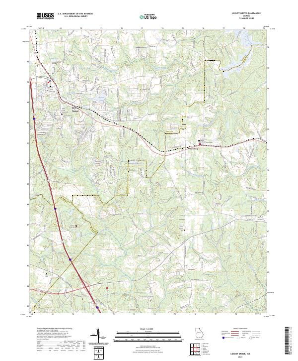
USGS Topo · Published 1974About this map
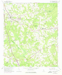
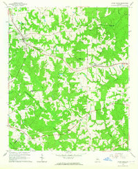
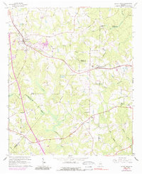
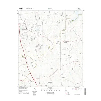
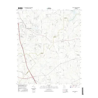
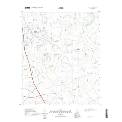
Locust Grove and Jenkinsburg anchor this topographical survey of the Georgia Piedmont, appearing as they did in the early 1960s with 1970s updates. The Southern railroad line carves a diagonal path through the landscape, connecting these small town centers while following the natural drainage divides. Rural life is well-documented through a dense network of family and community landmarks, including Beersheba Ch, England Chapel, and several smaller burial grounds like Patrick Cem.
Find a feature on this map
51 named features on this map. Tap any name to fly to it.
Don’t see what you’re looking for? This feature index may not catch every label — zoom into the map to look around manually.
Map Details
Date Portrayed1964
Date Published1974
PublisherU.S. Geological Survey
Map TypeTopographic
Scale1:24,000
Physical Dimensions22.1 x 26.9 inches
Editions of this 1964 Locust Grove Map
3 editions found
Historical Maps of Locust Grove Through Time
6 maps found
Featured Locations
Source Details
SourceU.S. Geological Survey
CopyrightPublic Domain