2020s Maps of Calhoun County, Georgia
Explore 20 historic maps of Calhoun County from the 2020s. These maps offer a rare glimpse into what life looked like during the 2020s — showing old roads, neighborhoods, homes, and landmarks that have changed or disappeared over time.
Whether you're researching your family's past, planning a metal detecting trip, or studying how Calhoun County's landscape evolved across the 2020s, these high-resolution maps are a powerful tool for exploring the history of this region.
- Focus on a specific era: All maps on this page are from the 2020s, giving you a focused view of this time period.
- See what’s changed: Compare century-old streets, trails, and buildings to today's modern landscape using overlays and satellite layers.
- Research with precision: Use these maps for genealogy, historical research, land use analysis, or educational projects.
- View, download, or print: Maps are fully viewable online in high resolution, and can be downloaded or printed for your own records.
Start exploring Calhoun County's history through authentic maps from the 2020s. This is your window into the past.
Calhoun County, GA maps
(20)- 2020 Map of Bancroft, 2020 Print
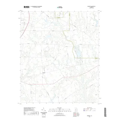 2020 Bancroft2020 Print · USGSCovers Calhoun County, including Bancroft, Early County, and other nearby areas
 - 2020 Map of Bermuda, 2020 Print
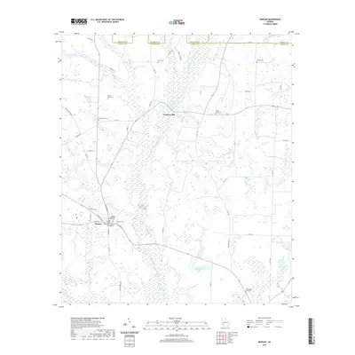
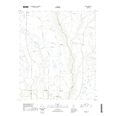
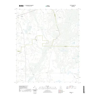 2020 Bermuda2020 Print · USGSCovers Calhoun County, including Bermuda, Dougherty County, and other nearby areas
 - 2020 Map of Arlington, 2020 Print
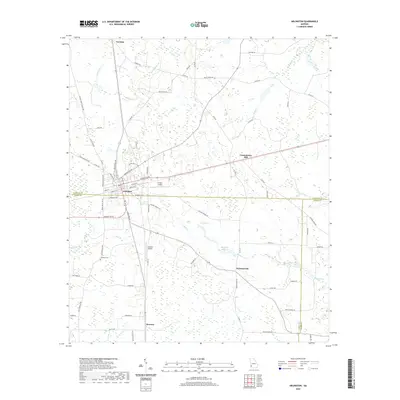 2020 Arlington2020 Print · USGSCovers Calhoun County, including Arlington, Jones Spur, and other nearby areas
 - 2020 Map of Holt, 2020 Print
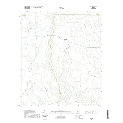 2020 Holt2020 Print · USGSCovers Calhoun County, including Gillionville, Holt, and other nearby areas
 - 2020 Map of Martins Crossroads, 2020 Print
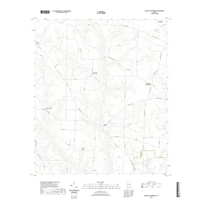 2020 Martins Crossroads2020 Print · USGSCovers Calhoun County, including Shellman, Shivers Mill, and other nearby areas
 - 2020 Map of Leary, 2020 Print
 2020 Leary2020 Print · USGSCovers Calhoun County, including Leary, Williamsburg, and other nearby areas
 - 2020 Map of Bluffton, 2020 Print
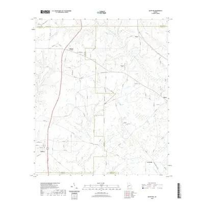 2020 Bluffton2020 Print · USGSCovers Calhoun County, including Edison, Bluffton, and other nearby areas
 - 2020 Map of Edison, 2020 Print
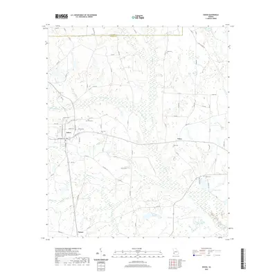 2020 Edison2020 Print · USGSCovers Calhoun County, including Edison, Turman, and other nearby areas
 - 2020 Map of Morgan, 2020 Print
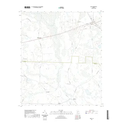
 2020 Morgan2020 Print · USGSCovers Calhoun County, including Morgan, Cordrays Mill, and other nearby areas
 - 2020 Map of Doverel, 2020 Print
 2020 Doverel2020 Print · USGSCovers Calhoun County, including Shellman, Aycock Mill, and other nearby areas
 - 2024 Map of Martins Crossroads, 2024 Print
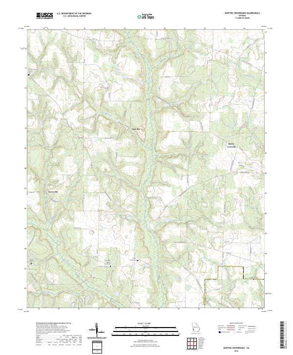 2024 Martins Crossroads2024 Print · USGSRandolph and Calhoun Counties come alive in this detailed record of rural Georgia's mills and family landmarks. Researchers can trace ancestral lands and rural industry near Goffs Mill, Shivers Mill, and the Martin Family Cem.
 - 2024 Map of Edison, 2024 Print
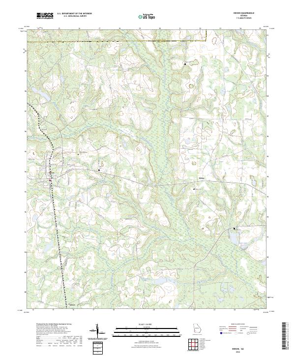 2024 Edison2024 Print · USGSCalhoun County in the modern era maintains its deep agricultural roots and network of creek-side settlements. Researchers can locate family sites at Saint Stephens Cem, trace the waters of Pachitla Creek, and explore the rural layout of Edison and Dickey.
 - 2024 Map of Arlington, 2024 Print
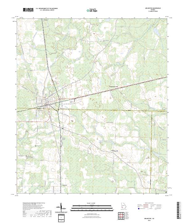 2024 Arlington2024 Print · USGSArlington sits at the junction of three Georgia counties in this modern-era survey of Southwest Georgia's agricultural heartland. Genealogists and local historians can locate several family and community landmarks, including Oak Grove Cem, Sheffield Millpond, and Rowena.
 - 2024 Map of Leary, 2024 Print
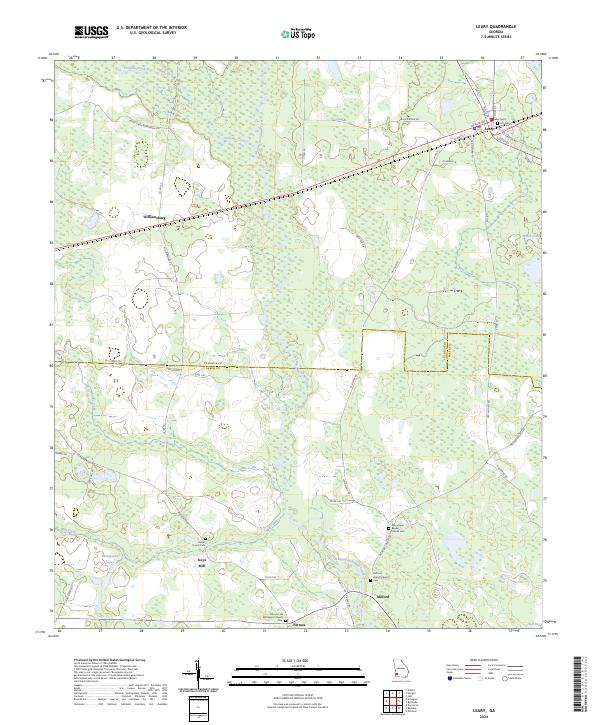 2024 Leary2024 Print · USGSAgricultural lands and creek-side settlements define this corner of Calhoun and Baker Counties in the modern era. Researchers can trace local lineage through several documented burial grounds, such as Bethel Church Cem, or locate the historic site of Iveys Mill along the water.
 - 2024 Map of Holt, 2024 Print
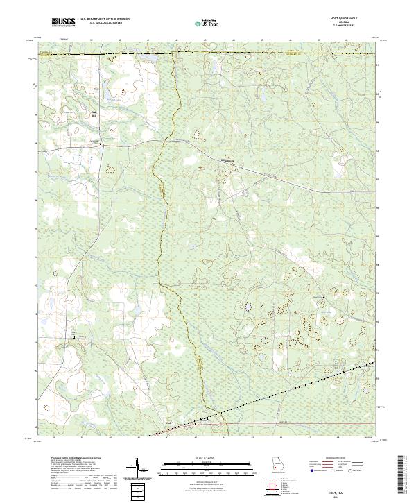 2024 Holt2024 Print · USGSSouthwest Georgia's rural townships and wetland corridors are captured here in 2024 at the meeting of three counties. Genealogists and local historians can trace legacy sites like Saint Paul Cem, the community of Gillionville, and the historic Old Tallassee Trail Rd.
 - 2024 Map of Bancroft, 2024 Print
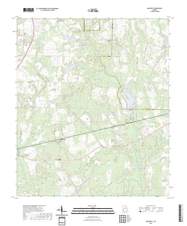 2024 Bancroft2024 Print · USGSBancroft and the rural crossroads of Early County are shown here in the modern era, preserving the locations of deep-rooted community landmarks. Genealogists can trace family connections at Rosinvick-Freewill Cem, Matt Gilbert Cem, and Dixie Cem.
 - 2024 Map of Morgan, 2024 Print
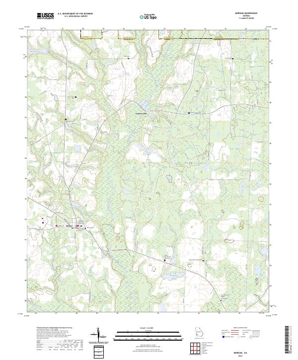 2024 Morgan2024 Print · USGSThe seat of Calhoun County comes into focus here, showing the rural landscape around Morgan as it appears today. Researchers can locate family landmarks and burial sites like Cordrays Mill, Mount Nebo Cem, and the Calhoun County Courthouse.
 - 2024 Map of Bermuda, 2024 Print
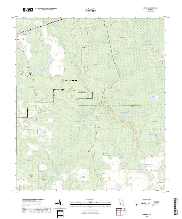 2024 Bermuda2024 Print · USGSThe tri-county boundary of Baker, Calhoun, and Dougherty counties comes alive in this survey of Southwest Georgia's wetlands. Genealogists can trace family names at the Mount Pleasant Primitive Baptist Church Cem or follow the waters of Chickasawhatchee Creek to Hellgate Swamp.
 - 2024 Map of Doverel, 2024 Print
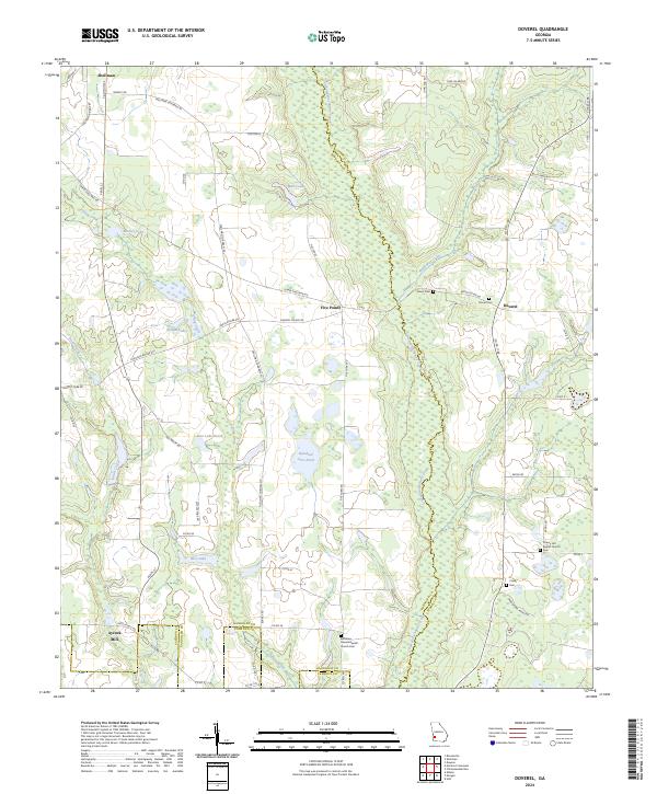 2024 Doverel2024 Print · USGSSouthwest Georgia's agricultural and wetland landscape is captured here in recent years, centered on the corridor of Ichawaynochaway Creek. Researchers can trace local lineage at sites like Bethlehem Freewill Baptist Church Cem or locate the historic Aycock Mill near Shellman.
 - 2024 Map of Bluffton, 2024 Print
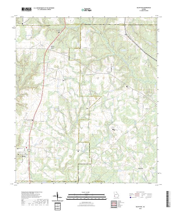 2024 Bluffton2024 Print · USGSBluffton and the surrounding Georgia countryside are captured here at the intersection of four counties. Researchers can trace the legacy of local families through numerous sites like Enon Baptist Church Cem, Suttons Corner, and Mars Hill Cem.
End of results
Showing maps 1-20 of 20
Top cities of Calhoun County
Frequently asked questions
- What are the different types of historical maps available for Calhoun County?
- What is the oldest map of Calhoun County?
- Where can I purchase historical maps of Calhoun County for my home or office?
- Where can I download high-res historical maps of Calhoun County?
- Are there historical topographic maps available for Calhoun County?
- Is there historical aerial imagery available for Calhoun County?
- Where are historical maps of Calhoun County sourced from?