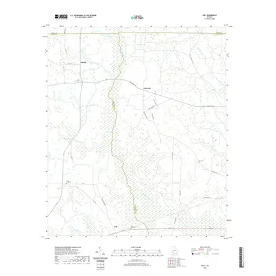
2020 Map of Holt
USGS Topo · Published 2020About this map
Chickasawhatchee Cr and its many tributaries, including Mucket Br and Spring Creek, dominate this section of Southwest Georgia where the boundaries of Terrell, Calhoun, and Dougherty counties meet. The small settlements of Gillionville and Holt serve as anchors for a landscape defined by agriculture and drainage basins. Local history is preserved in several rural burial grounds such as Saint Lukes Cem and Saint Paul Cem, often located near the intersections of local connectors like Gillionville Rd and Leary Rd.
Find a feature on this map
40 named features on this map. Tap any name to fly to it.
Don’t see what you’re looking for? This feature index may not catch every label — zoom into the map to look around manually.
Map Details
Editions of this 2020 Holt Map
This is the sole edition of this map. No revisions or reprints were ever made.
Other maps of this area

1953 · Dothan
USGS Topo · 1:250,000

1954 · Dothan
USGS Topo · 1:250,000

1955 · Dothan
USGS Topo · 1:250,000

1956 · Newton
USGS Topo · 1:62,500

1956 · Sasser
USGS Topo · 1:62,500

1973 · Morgan
USGS Topo · 1:24,000

1973 · Chickasawhatchee
USGS Topo · 1:24,000

1973 · Sasser
USGS Topo · 1:24,000

1973 · Pretoria
USGS Topo · 1:24,000
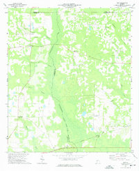
1973 · Holt
USGS Topo · 1:24,000