2020s Maps of St. Marys, Georgia
Explore 8 historic maps of St. Marys from the 2020s. These maps offer a rare glimpse into what life looked like during the 2020s — showing old roads, neighborhoods, homes, and landmarks that have changed or disappeared over time.
Whether you're researching your family's past, planning a metal detecting trip, or studying how St. Marys's landscape evolved across the 2020s, these high-resolution maps are a powerful tool for exploring the history of this region.
- Focus on a specific era: All maps on this page are from the 2020s, giving you a focused view of this time period.
- See what’s changed: Compare century-old streets, trails, and buildings to today's modern landscape using overlays and satellite layers.
- Research with precision: Use these maps for genealogy, historical research, land use analysis, or educational projects.
- View, download, or print: Maps are fully viewable online in high resolution, and can be downloaded or printed for your own records.
Start exploring St. Marys's history through authentic maps from the 2020s. This is your window into the past.
St. Marys, GA maps
(8)- 2020 Map of Kingsland, 2020 Print
 2020 Kingsland2020 Print · USGSCovers St. Marys, including Kingsland, May Creek, and other nearby areas
 - 2020 Map of Harrietts Bluff, 2020 Print
 2020 Harrietts Bluff2020 Print · USGSCovers St. Marys, including Kingsland, Kings Bay Base, and other nearby areas
 - 2020 Map of Saint Marys, 2020 Print
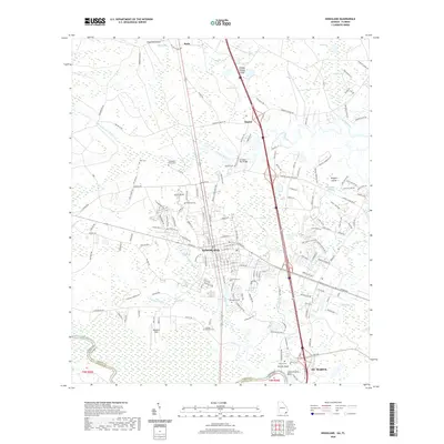
 2020 Saint Marys2020 Print · USGSCovers St. Marys, including Chester, Crandall, and other nearby areas
 - 2021 Map of Gross, 2021 Print
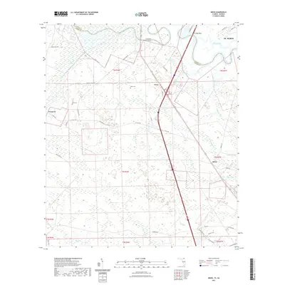 2021 Gross2021 Print · USGSCovers St. Marys, including Gross, Becker, and other nearby areas
 - 2024 Map of Harrietts Bluff, 2024 Print
 2024 Harrietts Bluff2024 Print · USGSCamden County's maritime landscape is captured here in the early twenty-first century as military and civilian spheres overlap. Genealogists and researchers can trace the modern development of Harrietts Bluff and Scotchville alongside the extensive Naval Submarine Base Kings Bay.
 - 2024 Map of Saint Marys, 2024 Print
 2024 Saint Marys2024 Print · USGSThe Georgia-Florida border comes alive in this survey of the Saint Marys River and the coastal marshes surrounding St. Marys. Researchers can trace local lineage at Oak Grove Cemetery, find old landings at Millers Bluff, or locate the Nassau Airport near Yulee.
 - 2024 Map of Kingsland, 2024 Print
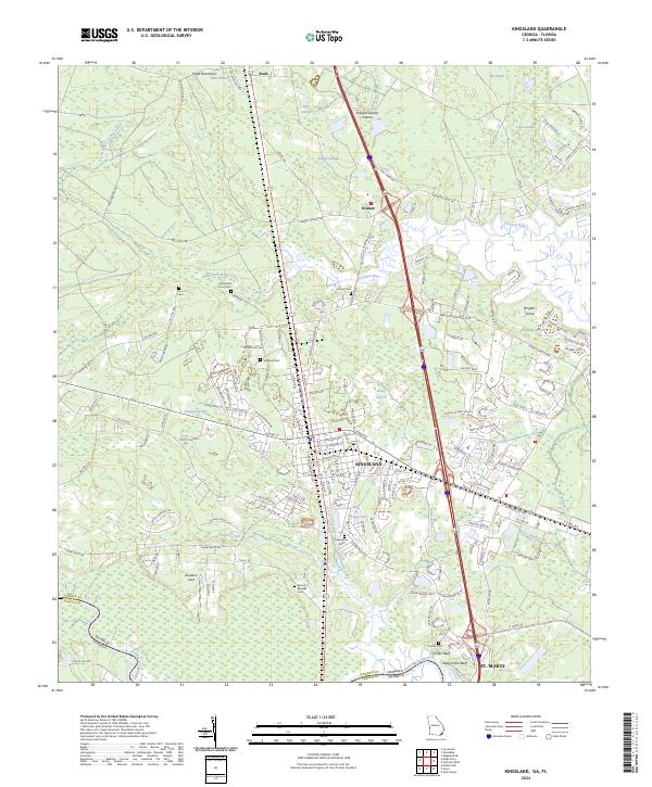 2024 Kingsland2024 Print · USGSKingsland and the Saint Marys River corridor are shown in great detail during a period of modern coastal growth. Genealogists can trace family burial sites like Lawnwood Cem and Zion Cem, while navigators can follow the winding Crooked River.
 - 2024 Map of Gross, 2024 Print
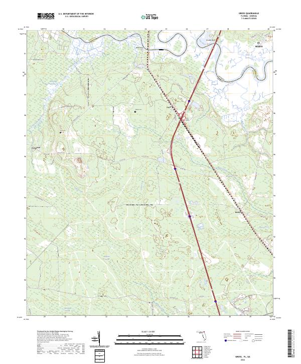 2024 Gross2024 Print · USGSNassau County's river-border landscape is detailed here in recent years, showing the intersection of Florida and Georgia along the winding Saint Marys River. Researchers can locate family landmarks like Wildes Cem and Owens Cem or trace old crossings at Wilds Ferry.
End of results
Showing maps 1-8 of 8
Top cities near St. Marys
- Jacksonville historical maps
- Kingsland historical maps
- Fernandina Beach historical maps
- Kings Bay Base historical maps
- Woodbine historical maps
Top neighborhoods of St. Marys
- Quail Hollow historical maps
- River Oaks historical maps
- Harbor Pines historical maps
- Shadowlawn historical maps
- Admirals Walk historical maps
- Lands End historical maps
See more
Frequently asked questions
- What are the different types of historical maps available for St. Marys?
- What is the oldest map of St. Marys?
- Where can I purchase historical maps of St. Marys for my home or office?
- Where can I download high-res historical maps of St. Marys?
- Are there historical topographic maps available for St. Marys?
- Is there historical aerial imagery available for St. Marys?
- Where are historical maps of St. Marys sourced from?