2020s Maps of Vernonburg, Georgia
Explore 4 historic maps of Vernonburg from the 2020s. These maps offer a rare glimpse into what life looked like during the 2020s — showing old roads, neighborhoods, homes, and landmarks that have changed or disappeared over time.
Whether you're researching your family's past, planning a metal detecting trip, or studying how Vernonburg's landscape evolved across the 2020s, these high-resolution maps are a powerful tool for exploring the history of this region.
- Focus on a specific era: All maps on this page are from the 2020s, giving you a focused view of this time period.
- See what’s changed: Compare century-old streets, trails, and buildings to today's modern landscape using overlays and satellite layers.
- Research with precision: Use these maps for genealogy, historical research, land use analysis, or educational projects.
- View, download, or print: Maps are fully viewable online in high resolution, and can be downloaded or printed for your own records.
Start exploring Vernonburg's history through authentic maps from the 2020s. This is your window into the past.
Vernonburg, GA maps
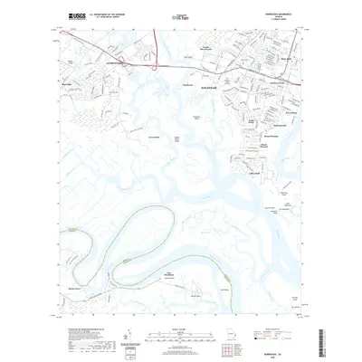
(4)- 2020 Map of Isle of Hope, 2020 Print
 2020 Isle of Hope2020 Print · USGSCovers Vernonburg, including Savannah, Skidaway Island, and other nearby areas
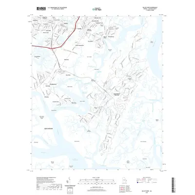
 - 2020 Map of Burroughs, 2020 Print
 2020 Burroughs2020 Print · USGSCovers Vernonburg, including Savannah, Georgetown, and other nearby areas
 - 2024 Map of Burroughs, 2024 Print
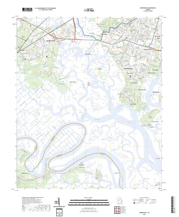 2024 Burroughs2024 Print · USGSCoastal Georgia south of Savannah comes into focus here, where the Ogeechee River snakes through marshlands and growing suburban communities. Researchers can trace the boundaries of Fort McAllister, locate family sites at Emma Grove Cem, or study the grounds of Armstrong State University.
 - 2024 Map of Isle of Hope, 2024 Print
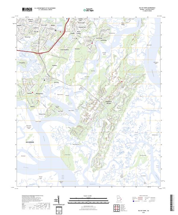 2024 Isle of Hope2024 Print · USGSCoastal Georgia's islands and tidal rivers are shown in this recent survey of the settlements south of Savannah. Genealogists and historians can locate family landmarks at Wormsloe, Pin Point, and the Old Church Cem near Sandfly.
End of results
Showing maps 1-4 of 4
Top cities near Vernonburg
- Savannah historical maps
- Pooler historical maps
- Richmond Hill historical maps
- Wilmington Island historical maps
- Georgetown historical maps
- Garden City historical maps
See more
Frequently asked questions
- What are the different types of historical maps available for Vernonburg?
- What is the oldest map of Vernonburg?
- Where can I purchase historical maps of Vernonburg for my home or office?
- Where can I download high-res historical maps of Vernonburg?
- Are there historical topographic maps available for Vernonburg?
- Is there historical aerial imagery available for Vernonburg?
- Where are historical maps of Vernonburg sourced from?