Old Maps of Vernonburg, Georgia for Hiking & Exploration
Hike through history with 22 historic maps of Vernonburg. Explore old trails, ghost towns, and forgotten backroads — perfect for outdoor adventurers and local explorers.
- Rediscover forgotten places: Map out old mining camps, roads, and footpaths that no longer exist on modern maps.
- Layer with modern tools: Combine with LiDAR or satellite views to plan hikes through historical terrain.
- Made for exploration: Popular among hikers, overlanders, and local history lovers.
Use these maps to find adventure and explore the hidden past of Vernonburg.
Vernonburg, GA maps
(22)- 1944 Map of Ossabaw Island, 1963 Print
 1944 Ossabaw Island1963 Print · USGSCoastal Georgia's barrier islands and river networks come to life in this mid-century survey of the Ogeechee and Skidaway basins. Researchers can locate historical sites like Fort McAllister, the Kilkenny Club, and the vanished Cheves Mill Chimney among the tidal marshes.
 - 1945 Map of Ossabaw Island
 1945 Ossabaw Island1945 Print · USGSThe Georgia coast at the end of the war is a complex world of tidal rivers and historic fortifications. Genealogists and local historians can trace family-named sites and landmarks like Cheves Mill Chimney, Adams Chimney, and the Kilkenny Club among the winding creeks.
 - 1946 Map of Brunswick, 1948 Print
 1946 Brunswick1948 Print · USGSCoastal Georgia in the mid-forties reveals a landscape defined by the Camp Stewart Military Reservation and the sprawling barrier islands. Genealogists and historians can trace the rail-and-river network through inland towns like Ludowici and Jesup, or locate coastal landmarks like the St Simon Light.
 - 1948 Map of Brunswick
 1948 Brunswick1948 Print · USGSCoastal Georgia in the late 1940s is defined here by its labyrinthine barrier islands and the massive footprint of Camp Stewart. Genealogists and historians can trace the rail-tied growth of Jesup and Hinesville or locate coastal landmarks like St Simon Light.
 - 1956 Map of Brunswick, 1968 Print
 1956 Brunswick1968 Print · USGSThe Georgia coast in the mid-twentieth century is a wild expanse of barrier islands and massive river deltas. You can trace the development of the maritime economy and military presence at Brunswick, or locate historic sites like Fort Frederica National Monument and Harris Neck National Wildlife Refuge.2 unique versions available
 - 1957 Map of Burroughs, 1959 Print
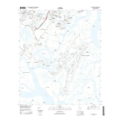
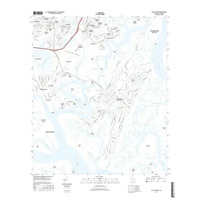
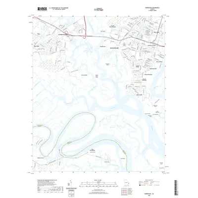
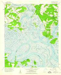 1957 Burroughs1959 Print · USGSCoastal Chatham County in the late fifties shows a landscape of tidal marshes and rising suburbs south of Savannah. Researchers can locate Fort McAllister and old riverfront settlements like Vernonburg, Coffee Bluff, and the rail stop at Burroughs.3 unique versions available
 - 1957 Map of Isle of Hope, 1959 Print
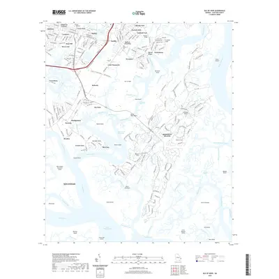
 1957 Isle of Hope1959 Print · USGSCoastal Georgia's intricate island and marsh network is captured here in the late fifties, showcasing the communities south of Savannah. Researchers can locate family landmarks like Wormsloe, the Water Orphanage at Bethesda, and historic settlements such as Pin Point and Sandfly.2 unique versions available
 - 1961 Map of Brunswick
 1961 Brunswick1961 Print · USGSThe Georgia coast at the start of the 1960s was a landscape of deep tidal marshes and growing military installations. Genealogists and historians can trace rail-linked towns like Limerick Station or explore coastal landmarks from Fort Frederica National Monument to Sapelo Island.
 - 1978 Map of Brunswick
 1978 Brunswick1978 Print · USGSThe Georgia coast and its barrier islands are captured in the late 1970s, as I-95 and the rail lines shaped the growth of coastal towns. Genealogists and historians can trace family locations across the islands or locate sites near Fort Stewart, Darien, and Ludowici.2 unique versions available
 - 1979 Map of Burroughs
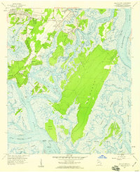
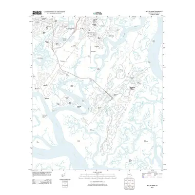
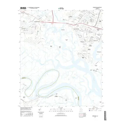
 1979 Burroughs1979 Print · USGSThe marshes of Chatham County are captured in the late seventies as suburban growth begins to meet the coastal wetlands. Trace family roots at Wild Horn Cem and Hawkins Chapel, or explore the winding banks of the Little Ogeechee River near Vernonburg.4 unique versions available
 - 1979 Map of Isle of Hope
 1979 Isle of Hope1979 Print · USGSThe Georgia coastline near Savannah underwent notable residential and ecological shifts in the late seventies. Genealogists and historians can trace family locations through sites like Sandfly Bakers Crossing, Old Church Cem, and the Bethesda Home for Boys.3 unique versions available
 - 1981 Map of Jesup, 1982 Print
 1981 Jesup1982 Print · USGSCoastal Georgia in the early eighties shows a landscape of expansive river deltas and military reservations stretching from the interior to the Atlantic. Genealogists and local historians can trace family locations near Jesup, the old port of Sunbury, or the tidal reaches of the Altamaha River.
 - 2011 Map of Burroughs, 2011 Print
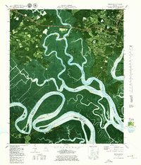
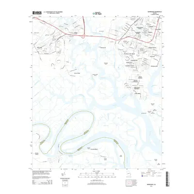
 2011 Burroughs2011 Print · USGSCovers Vernonburg, including Savannah, Georgetown, and other nearby areas
 - 2012 Map of Isle of Hope, 2012 Print
 2012 Isle of Hope2012 Print · USGSCovers Vernonburg, including Savannah, Skidaway Island, and other nearby areas
 - 2014 Map of Isle of Hope, 2014 Print
 2014 Isle of Hope2014 Print · USGSCovers Vernonburg, including Savannah, Skidaway Island, and other nearby areas
 - 2014 Map of Burroughs, 2014 Print
 2014 Burroughs2014 Print · USGSCovers Vernonburg, including Savannah, Georgetown, and other nearby areas
 - 2017 Map of Isle of Hope, 2017 Print
 2017 Isle of Hope2017 Print · USGSCovers Vernonburg, including Savannah, Skidaway Island, and other nearby areas
 - 2017 Map of Burroughs, 2017 Print
 2017 Burroughs2017 Print · USGSCovers Vernonburg, including Savannah, Georgetown, and other nearby areas
 - 2020 Map of Isle of Hope, 2020 Print
 2020 Isle of Hope2020 Print · USGSCovers Vernonburg, including Savannah, Skidaway Island, and other nearby areas
 - 2020 Map of Burroughs, 2020 Print
 2020 Burroughs2020 Print · USGSCovers Vernonburg, including Savannah, Georgetown, and other nearby areas
 - 2024 Map of Burroughs, 2024 Print
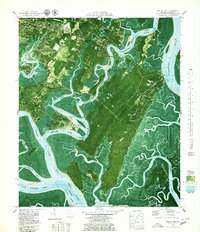
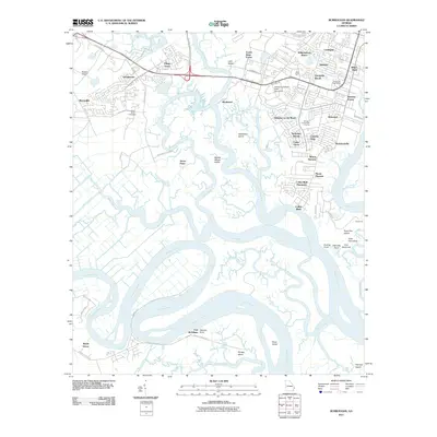
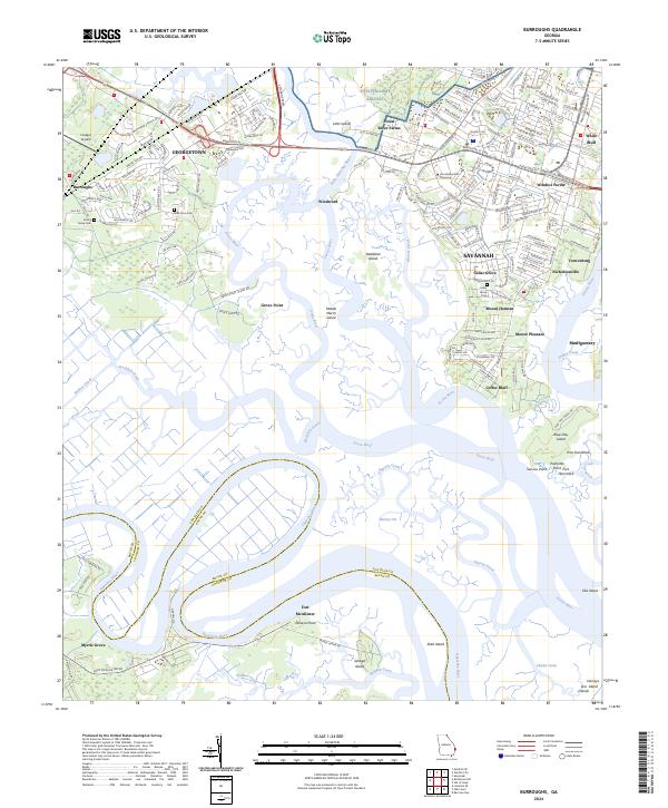 2024 Burroughs2024 Print · USGSCoastal Georgia south of Savannah comes into focus here, where the Ogeechee River snakes through marshlands and growing suburban communities. Researchers can trace the boundaries of Fort McAllister, locate family sites at Emma Grove Cem, or study the grounds of Armstrong State University.
 - 2024 Map of Isle of Hope, 2024 Print
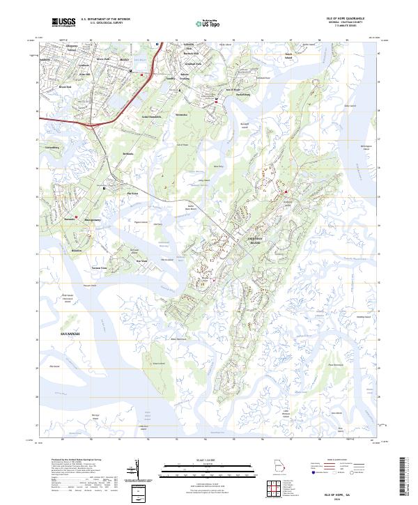 2024 Isle of Hope2024 Print · USGSCoastal Georgia's islands and tidal rivers are shown in this recent survey of the settlements south of Savannah. Genealogists and historians can locate family landmarks at Wormsloe, Pin Point, and the Old Church Cem near Sandfly.
End of results
Showing maps 1-22 of 22
Top cities near Vernonburg
- Savannah historical maps
- Pooler historical maps
- Richmond Hill historical maps
- Wilmington Island historical maps
- Georgetown historical maps
- Garden City historical maps
See more
Frequently asked questions
- What are the different types of historical maps available for Vernonburg?
- What is the oldest map of Vernonburg?
- Where can I purchase historical maps of Vernonburg for my home or office?
- Where can I download high-res historical maps of Vernonburg?
- Are there historical topographic maps available for Vernonburg?
- Is there historical aerial imagery available for Vernonburg?
- Where are historical maps of Vernonburg sourced from?