2020s Maps of Chattooga County, Georgia
Explore 22 historic maps of Chattooga County from the 2020s. These maps offer a rare glimpse into what life looked like during the 2020s — showing old roads, neighborhoods, homes, and landmarks that have changed or disappeared over time.
Whether you're researching your family's past, planning a metal detecting trip, or studying how Chattooga County's landscape evolved across the 2020s, these high-resolution maps are a powerful tool for exploring the history of this region.
- Focus on a specific era: All maps on this page are from the 2020s, giving you a focused view of this time period.
- See what’s changed: Compare century-old streets, trails, and buildings to today's modern landscape using overlays and satellite layers.
- Research with precision: Use these maps for genealogy, historical research, land use analysis, or educational projects.
- View, download, or print: Maps are fully viewable online in high resolution, and can be downloaded or printed for your own records.
Start exploring Chattooga County's history through authentic maps from the 2020s. This is your window into the past.
Chattooga County, GA maps
(22)- 2020 Map of Subligna, 2020 Print
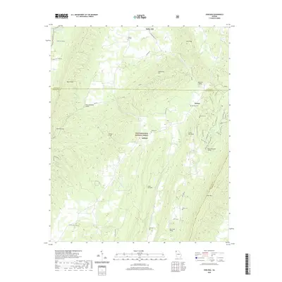 2020 Subligna2020 Print · USGSThe ridges and valleys of Northwest Georgia are captured here in the early twenty-first century as the forest reclaimed former agricultural lands. Genealogists and hikers can trace the legacy of rural life through sites like Suttles Mill, Mount Joy Cem, and the winding Pinhoti trail.
 - 2020 Map of Sugar Valley, 2020 Print
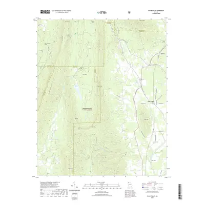 2020 Sugar Valley2020 Print · USGSNorthwestern Georgia's ridge-and-valley landscape is documented here in the early twenty-first century, showcasing the rural communities of Gordon and Floyd counties. Researchers can trace family history through sites like Mount Hope Cem and Pocket Cem, or follow the trails near Lake Marvin and Keown Falls.
 - 2020 Map of Chattoogaville, 2020 Print
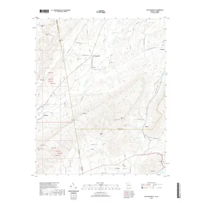 2020 Chattoogaville2020 Print · USGSThe Georgia-Alabama border comes alive in this survey of the river valleys and ridges between Chattoogaville and Fullerton. Genealogists can trace family names through several rural burial sites, including Vann Cem, Sardis Cem, and Mill Creek Cem.
 - 2020 Map of Rock Mountain, 2020 Print
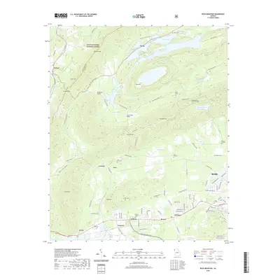 2020 Rock Mountain2020 Print · USGSNorthwest of Rome in 2020, the ridge-and-valley landscape preserves rural enclaves like Big Texas Valley and Little Texas Valley. Genealogists can locate numerous local burial sites including Padlock Cem, Pisgah Cem, and the uniquely named Possum Trot Cem.
 - 2020 Map of Dougherty Gap, 2020 Print
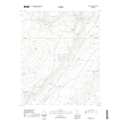 2020 Dougherty Gap2020 Print · USGSNorthwest Georgia's ridgeline communities and deep valley gulfs are documented here during the early twenty-first century. Genealogists and local historians can trace family locations near Hemphill Cem, Long Cem, and the old crossing at Mcconels Bridge.
 - 2020 Map of Summerville, 2020 Print
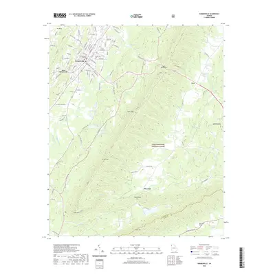 2020 Summerville2020 Print · USGSSummerville and the surrounding Chattooga County ridges are captured here in 2020, showing a mix of valley agriculture and deep forest. Genealogists can locate family landmarks at the Summerville Cem, Johnson Cem, and the Chattooga County Courthouse.
 - 2020 Map of Lyerly, 2020 Print
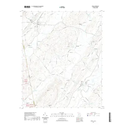 2020 Lyerly2020 Print · USGSChattooga County at the start of the 2020s shows a landscape of ridges and valleys spanning the Alabama border. Trace local history through family cemeteries and landmarks like Menlo Cem, the Pleasant Green Church Memorial Monument, and Perennial Springs.
 - 2020 Map of Trion, 2020 Print
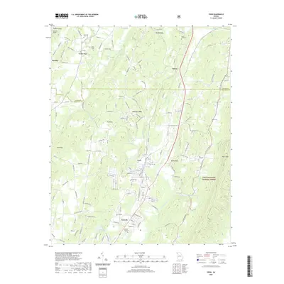 2020 Trion2020 Print · USGSChattooga County at the start of the 2020s shows a landscape deeply defined by the Chattooga River and its industrial valley. Genealogists and local historians can trace family roots through numerous sites like Allgood Cem, West Hill Cem, and the quiet rural community of Welcome Hill.
 - 2020 Map of Armuchee, 2020 Print
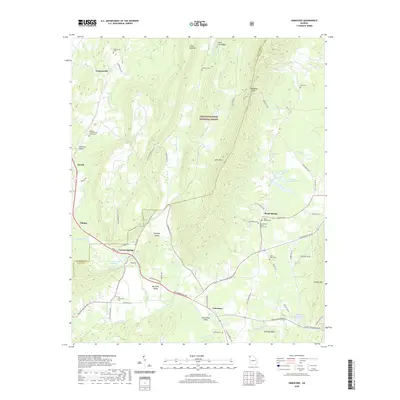 2020 Armuchee2020 Print · USGSNorthwest Georgia's ridge-and-valley country is shown here in detail during the early 21st century. Researchers can locate ancestral sites like Old Armuchee Cem, the Floyd Springs Baptist Church Cem, and the waters of Crystal Spring.
 - 2020 Map of Jamestown, 2020 Print
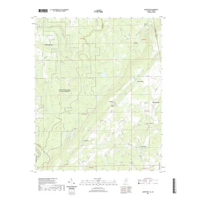 2020 Jamestown2020 Print · USGSThe Alabama and Georgia borderlands meet along the ridges of Lookout Mountain in this modern topographical survey. Historians can locate family roots at Oak Grove Cem or trace the early paths near Burnt House Ford and the community of Jamestown.
 - 2020 Map of Valley Head, 2020 Print
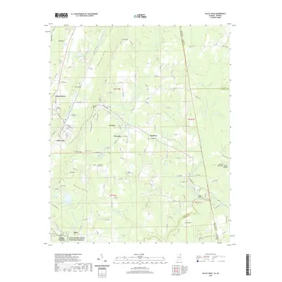 2020 Valley Head2020 Print · USGSThe Alabama-Georgia state line runs through this DeKalb County landscape as it appeared recently, where the West Fork Little River begins its descent. You can trace family history at Valley Head Cem or explore the heights of Mentone and Sunset Rock.
 - 2024 Map of Jamestown, 2024 Print
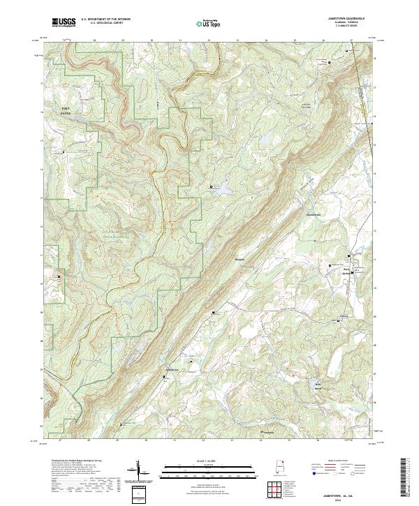 2024 Jamestown2024 Print · USGSThe Alabama and Georgia borderlands near the turn of the twenty-first century reveal a landscape of deep canyons and family homesteads. Genealogists can trace rural roots through the Indian Stockade Cem, Moseley Cem, and historic church sites like Mount Calvary Baptist Church Cem.
 - 2024 Map of Trion, 2024 Print
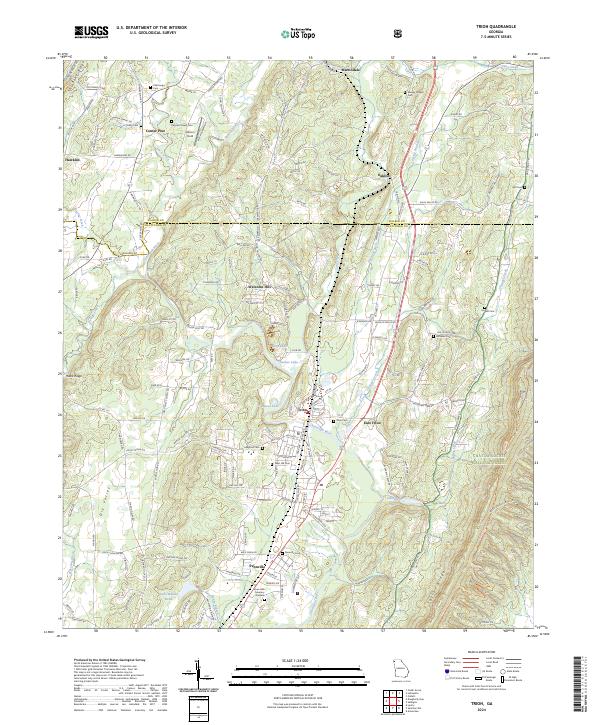 2024 Trion2024 Print · USGSChattooga County's industrial and rural character is preserved in this modern survey of the river valley. Genealogists and researchers can locate numerous family burial grounds including Paynes Chapel Cem, Allgood Cem, and West Hill Cem near Trion.
 - 2024 Map of Chattoogaville, 2024 Print
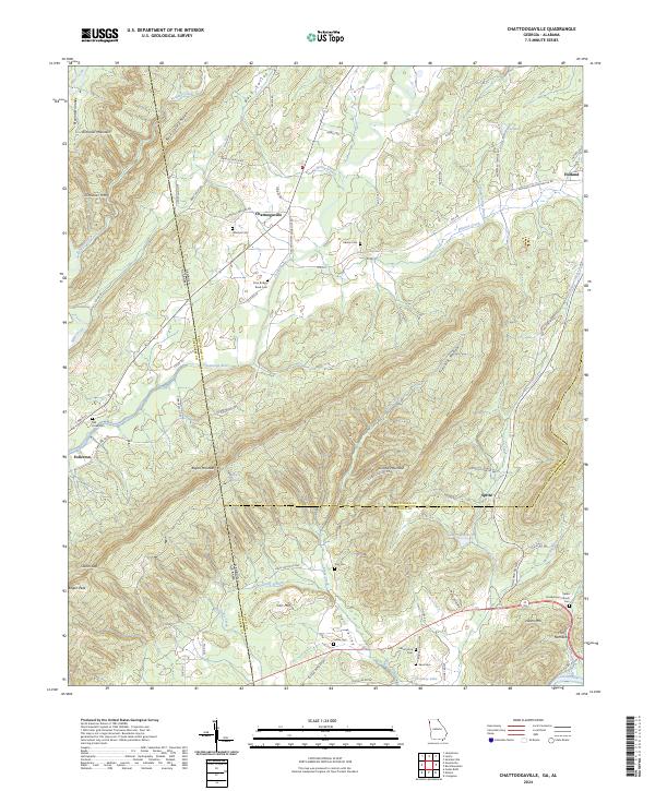 2024 Chattoogaville2024 Print · USGSThe Georgia-Alabama state line and the ridges of Dirtseller Mountain define this rural landscape during the early twenty-first century. Family historians can trace local roots through numerous sites like Johnson Cem, Sardis Presbyterian Church, and the settlement of Chattoogaville.
 - 2024 Map of Dougherty Gap, 2024 Print
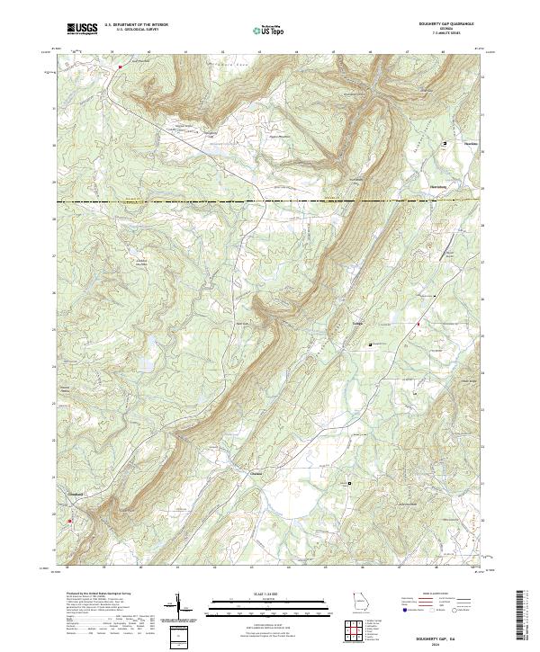 2024 Dougherty Gap2024 Print · USGSShinbone Valley and the plateaus of Lookout Mountain define this northwest Georgia landscape as it appears in the early 2020s. Genealogists and local historians can trace family-named sites like Macedonia Cem, Teloga, and the aviation history of Hogjowl Airport.
 - 2024 Map of Sugar Valley, 2024 Print
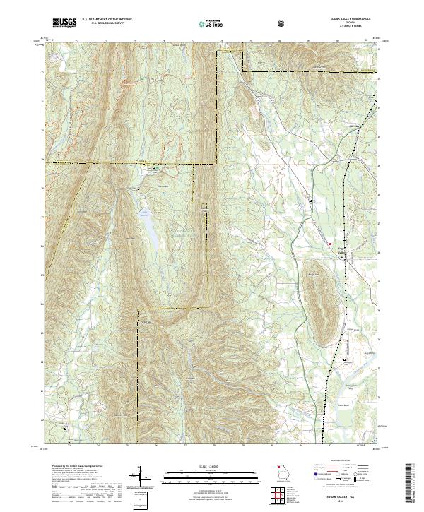 2024 Sugar Valley2024 Print · USGSNorthwest Georgia in the 2020s remains a landscape of high ridges and river crossings near the Chattahoochee National Forest. Genealogists and historians can trace local landmarks like Lays Ferry, Old Everett Springs, and Mount Hope Cem.
 - 2024 Map of Summerville, 2024 Print
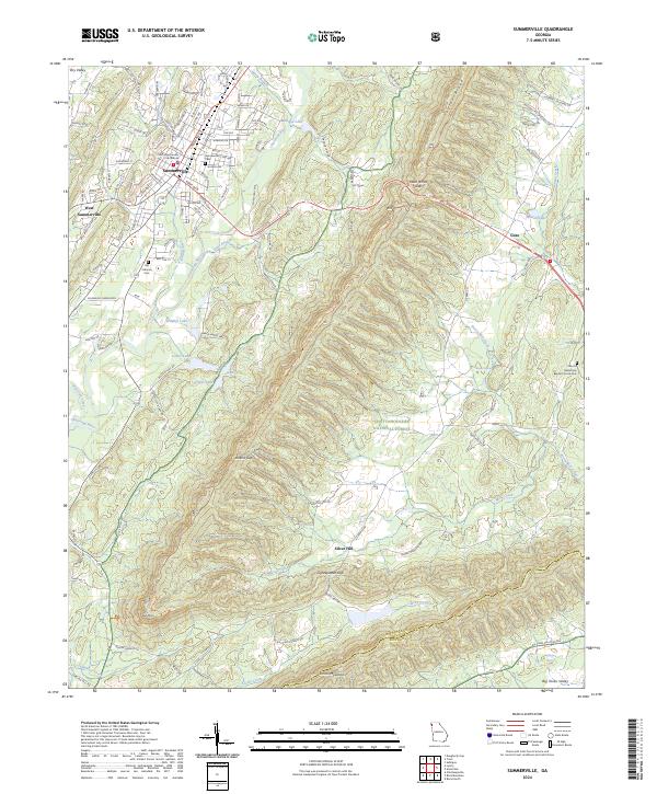 2024 Summerville2024 Print · USGSSummerville and the surrounding Chattooga County valley are shown in this contemporary study of Georgia’s Ridge and Valley region. Genealogists and local historians can pinpoint the Chattooga County Courthouse, the Summerville Cem, and landmarks like Mack White Gap on Taylor Ridge.
 - 2024 Map of Lyerly, 2024 Print
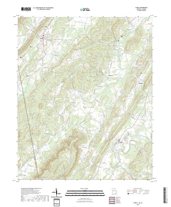 2024 Lyerly2024 Print · USGSNorthwest Georgia's ridge-and-valley landscape comes into focus here, showing the rural communities of Chattooga County in the modern era. Researchers can trace local history through numerous sites like the Pleasant Green Church Memorial Monument, Lyerly Cem, and Menlo Cem.
 - 2024 Map of Subligna, 2024 Print
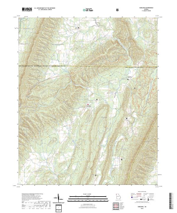 2024 Subligna2024 Print · USGSThe ridges of Chattooga and Walker counties come into focus in this modern era survey of the north Georgia mountains. Genealogists can locate several remote burial sites including Fishers Chapel Cem, Bethlehem Cem, and the high mountain crossing at Baileys Gap.
 - 2024 Map of Armuchee, 2024 Print
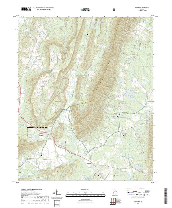 2024 Armuchee2024 Print · USGSThe valleys of Northwest Georgia are documented here in detail, showing how communities like Armuchee and Floyd Springs sit between steep ridge lines. Genealogists can locate family burial sites at Old Armuchee Cem, Farmersville Cem, and Midway Cem.
 - 2024 Map of Valley Head, 2024 Print
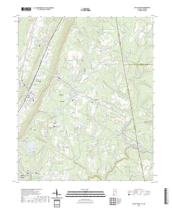 2024 Valley Head2024 Print · USGSDeKalb County, Alabama, and the Georgia state line meet in this modern survey of the Lookout Mountain plateau. Genealogists can locate family landmarks like the Winston Plantation Slave Cem, Jones Cem, and the historic railroad corridor near Mentone.
 - 2024 Map of Rock Mountain, 2024 Print
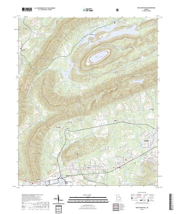 2024 Rock Mountain2024 Print · USGSThe Floyd County valleys and ridges north of ROME appear in fine detail in this modern survey. Genealogists can trace family footprints across numerous rural burial grounds like Possum Trot Cem, Antioch Cem, and Mount Pleasant Cem.
End of results
Showing maps 1-22 of 22
Top cities of Chattooga County
Frequently asked questions
- What are the different types of historical maps available for Chattooga County?
- What is the oldest map of Chattooga County?
- Where can I purchase historical maps of Chattooga County for my home or office?
- Where can I download high-res historical maps of Chattooga County?
- Are there historical topographic maps available for Chattooga County?
- Is there historical aerial imagery available for Chattooga County?
- Where are historical maps of Chattooga County sourced from?