Old Maps of Cloudland, Georgia for Metal Detecting
Plan your next treasure hunt with 16 historic maps of Cloudland. Find old homesites, ghost towns, trails, and gathering spots that may be lost to time — perfect for identifying promising metal detecting locations.
- Locate forgotten sites: Uncover places like long-lost settlements, abandoned rail lines, or gathering spots.
- Plan better hunts: Use map overlays combined with LiDAR or satellite views to narrow in on historically rich areas.
- Made for detectorists: Thousands of hobbyists use these maps to discover relics, coins, and hidden history.
Use these historic maps to boost your research and find new opportunities beneath the surface of Cloudland.
Cloudland, GA maps
(16)- 1886 Map of Ringgold
 1886 Ringgold1886 Print · USGSNorthwest Georgia in the 1880s was a landscape of industrial river valleys and steep ridges defined by early rail lines. Local historians can trace family-named landmarks like Gilreath's Mill, the Trion Factory textile site, and the rural stop at Tap's Store.
 - 1892 Map of Ringgold
 1892 Ringgold1892 Print · USGSNorth Georgia and the Tennessee border are mapped here in the late nineteenth century as the region transitioned into a post-war rail and tourism hub. Researchers can trace the early National Park boundaries, industrial Coal Mines, and vanished stops like High Point or Lisbon Sta..9 unique versions available
 - 1936 Map of Dougherty Gap
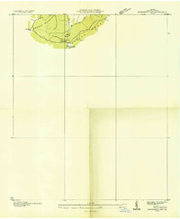 1936 Dougherty Gap1936 Print · USGSNorthern Georgia mountain terrain comes into focus in the mid-1930s as federal agencies mapped the convergence of LOOKOUT MOUNTAIN and PIGEON MOUNTAIN. Genealogists and historians can trace the early road through Dougherty Gap and locate the site of a CCC Camp (Abandoned).
 - 1946 Map of Dougherty Gap, 1964 Print
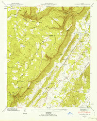 1946 Dougherty Gap1964 Print · USGSNorthwest Georgia in the mid-forties reveals a landscape shaped by the steep walls of Pigeon Mountain and the Tennessee Alabama and Georgia rail line. Genealogists can trace family footprints at Long Cem, Teloga Sch, and rural congregations like New Hope Ch.2 unique versions available
 - 1947 Map of Dougherty Gap
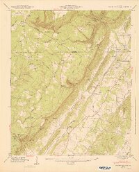 1947 Dougherty Gap1947 Print · USGSNorthwest Georgia in the late 1940s is defined here by the steep summits of Lookout Mountain and the remote communities of Chattooga County. Researchers can trace rural life through landmarks like Camp Juliette Low, the Macedonia Ch, and the route of the Tennessee Alabama and Georgia RR.2 unique versions available
 - 1955 Map of Rome
 1955 Rome1955 Print · USGSThe tri-state borderlands of Georgia, Alabama, and Tennessee appear in the mid-fifties as a landscape of ridge-and-valley industry and river navigation. Genealogists can trace family footprints near Chattanooga, the iron works of Gadsden, and textile towns like Trion or Summerville.
 - 1958 Map of Rome, 1966 Print
 1958 Rome1966 Print · USGSNorthwest Georgia and neighboring Tennessee and Alabama are captured here in the late fifties, showcasing a landscape of high ridges and river valleys. Researchers can trace historic rail lines like the Seaboard Air Line RR and explore the bounds of Cloudland Canyon State Park or Fort Oglethorpe.3 unique versions available
 - 1961 Map of Rome
 1961 Rome1961 Print · USGSNorthwest Georgia and neighboring Tennessee and Alabama are shown here at a moment of significant mid-century growth. Researchers can trace the rail networks of the Central of Georgia or locate landmarks within Chickamauga and Chattanooga Nat Military Park.
 - 1963 Map of Rome
 1963 Rome1963 Print · USGSThe tri-state corner of Georgia, Alabama, and Tennessee is captured here during a period of massive reservoir expansion and post-war growth. Genealogists and historians can trace the rail corridors of the Southern Ry or locate landmarks like Fort Oglethorpe and Cloudland Canyon State Park.
 - 1981 Map of Chickamauga, 1982 Print
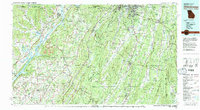 1981 Chickamauga1982 Print · USGSThe tri-state border region of Georgia, Alabama, and Tennessee comes into focus during the early eighties, defined by the towering ridges of the Appalachians. Historians can trace the preserved grounds of Chickamauga and Chattanooga National Military Park and old rail stops like Rising Fawn or Sulphur Springs.2 unique versions available
 - 1983 Map of Dougherty Gap, 1984 Print
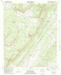 1983 Dougherty Gap1984 Print · USGSNorthwest Georgia's ridge-and-valley country is captured here in the early 1980s, centered on the Shinbone Valley. Researchers can trace old family sites and rural landmarks like Camp Juliet Low, Beersheba Ch, and Long Cem.
 - 2011 Map of Dougherty Gap, 2011 Print
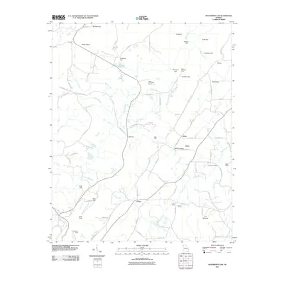 2011 Dougherty Gap2011 Print · USGSThe valleys and gulfs of Northwest Georgia appear in fine detail during the early 2010s. Genealogists can locate family sites like Hemphill Cemetery and Long Cemetery or trace landmarks such as Neal Crossing and Mountain Cove Lake.
 - 2014 Map of Dougherty Gap, 2014 Print
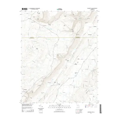 2014 Dougherty Gap2014 Print · USGSNorthwest Georgia's dramatic ridge-and-valley landscape is preserved here during the early twenty-first century, spanning the border of Walker and Chattooga counties. Trace local family history and settlement patterns through landmarks like Hemphill Cem, Hogjowl Airport, and the small community of Harrisburg.
 - 2017 Map of Dougherty Gap, 2017 Print
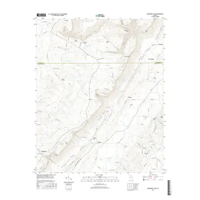 2017 Dougherty Gap2017 Print · USGSThe high ridges and deep coves of the Georgia-Alabama borderlands come into focus in this modern survey. Genealogists and local historians can trace family sites at Long Cem, navigate the corridors of Dougherty Gap, or locate properties near Harrisburg and Teloga.
 - 2020 Map of Dougherty Gap, 2020 Print
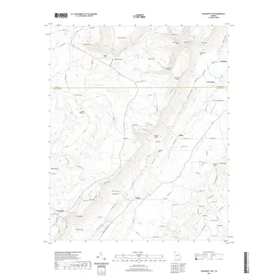 2020 Dougherty Gap2020 Print · USGSNorthwest Georgia's ridgeline communities and deep valley gulfs are documented here during the early twenty-first century. Genealogists and local historians can trace family locations near Hemphill Cem, Long Cem, and the old crossing at Mcconels Bridge.
 - 2024 Map of Dougherty Gap, 2024 Print
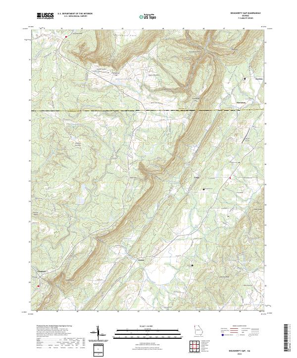 2024 Dougherty Gap2024 Print · USGSShinbone Valley and the plateaus of Lookout Mountain define this northwest Georgia landscape as it appears in the early 2020s. Genealogists and local historians can trace family-named sites like Macedonia Cem, Teloga, and the aviation history of Hogjowl Airport.
End of results
Showing maps 1-16 of 16
Top cities near Cloudland
- Rome historical maps
- Fort Payne historical maps
- LaFayette historical maps
- Summerville historical maps
- Henagar historical maps
- Trion historical maps
See more
Frequently asked questions
- What are the different types of historical maps available for Cloudland?
- What is the oldest map of Cloudland?
- Where can I purchase historical maps of Cloudland for my home or office?
- Where can I download high-res historical maps of Cloudland?
- Are there historical topographic maps available for Cloudland?
- Is there historical aerial imagery available for Cloudland?
- Where are historical maps of Cloudland sourced from?