Old Maps of Fort Gaines, Georgia for Hiking & Exploration
Hike through history with 16 historic maps of Fort Gaines. Explore old trails, ghost towns, and forgotten backroads — perfect for outdoor adventurers and local explorers.
- Rediscover forgotten places: Map out old mining camps, roads, and footpaths that no longer exist on modern maps.
- Layer with modern tools: Combine with LiDAR or satellite views to plan hikes through historical terrain.
- Made for exploration: Popular among hikers, overlanders, and local history lovers.
Use these maps to find adventure and explore the hidden past of Fort Gaines.
Fort Gaines, GA maps
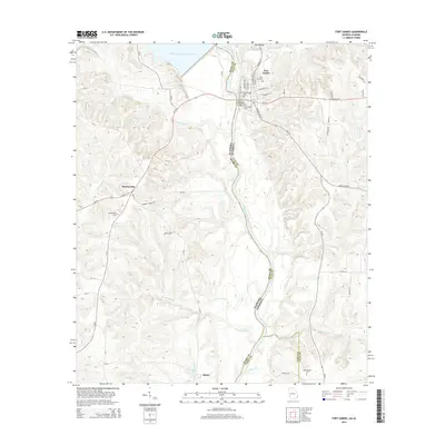
(16)- 1953 Map of Dothan, 1966 Print
 1953 Dothan1966 Print · USGSSoutheast Alabama and Southwest Georgia are captured during a period of massive hydraulic and military expansion in the mid-fifties. Genealogists and historians can trace rural landmarks like Antioch Church and School, the Andrew Jackson Monument, and the early footprint of Fort Rucker Military Reservation.3 unique versions available
 - 1954 Map of Dothan
 1954 Dothan1954 Print · USGSSoutheast Alabama and Southwest Georgia are seen here in the mid-fifties, during a decade of military expansion and rural transition. Genealogists can trace the location of country schools like Little Zion School or the grounds of Kolomoki Mounds State Park.
 - 1955 Map of Dothan
 1955 Dothan1955 Print · USGSSoutheast Alabama and Southwest Georgia are captured here in the mid-fifties, showing a landscape of river-port history and growing military bases. Researchers can trace rural life via the Andrew Jackson Monument, Bauxite mines, and the Central of Georgia RR.
 - 1969 Map of Fort Gaines, 1970 Print
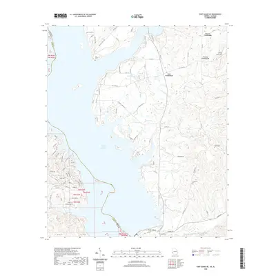
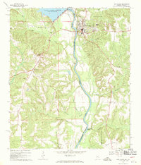 1969 Fort Gaines1970 Print · USGSThe river valley at the Alabama-Georgia line was undergoing significant change in the late sixties as the new reservoir reached its normal pool. Genealogists can trace numerous rural landmarks, from the crossroads at Shorterville to old burial grounds like Poplar Springs Cem and New Bethel Cem.2 unique versions available
 - 1969 Map of Fort Gaines NE, 1971 Print
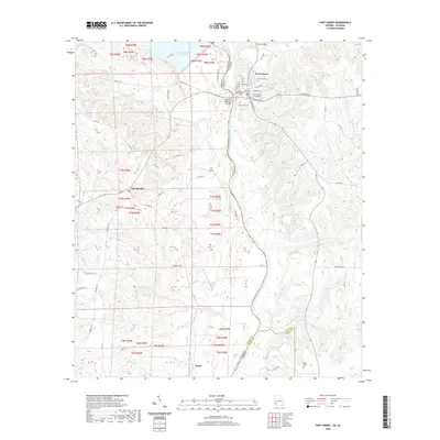
 1969 Fort Gaines NE1971 Print · USGSThe Chattahoochee River border between Georgia and Alabama appears here just as the reservoir era reshaped the valley. Genealogists and local historians can locate rural landmarks like New Hope Ch, Standleys Store, and Days Crossroads.
 - 1981 Map of Troy, 1982 Print
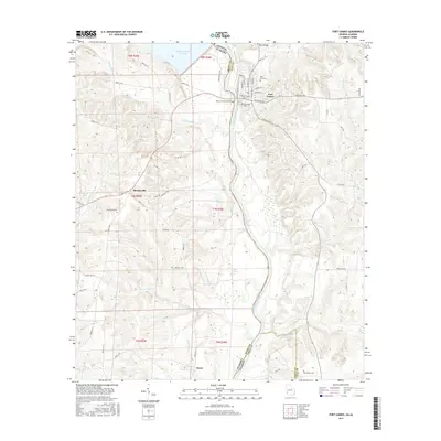
 1981 Troy1982 Print · USGSThe Chattahoochee River valley and the wiregrass region of Alabama come alive in the early eighties as the Walter F George Reservoir reshapes the eastern border. Genealogists can trace family roots through historic railroad towns like Brundidge and Louisville or explore the rural surroundings of Blue Springs State Park.
 - 2011 Map of Fort Gaines NE, 2011 Print
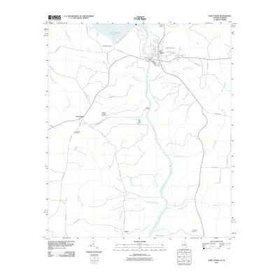
 2011 Fort Gaines NE2011 Print · USGSCovers Fort Gaines, including Watson Crossroads, Moores Crossroads, and other nearby areas
 - 2011 Map of Fort Gaines, 2011 Print
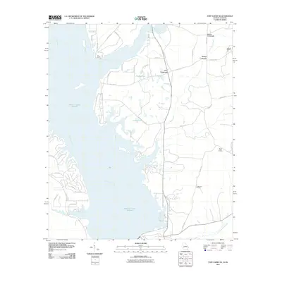
 2011 Fort Gaines2011 Print · USGSCovers Fort Gaines, including Hayes, Shorterville, and other nearby areas
 - 2014 Map of Fort Gaines NE, 2014 Print
 2014 Fort Gaines NE2014 Print · USGSCovers Fort Gaines, including Watson Crossroads, Moores Crossroads, and other nearby areas
 - 2014 Map of Fort Gaines, 2014 Print
 2014 Fort Gaines2014 Print · USGSCovers Fort Gaines, including Hayes, Shorterville, and other nearby areas
 - 2017 Map of Fort Gaines NE, 2017 Print
 2017 Fort Gaines NE2017 Print · USGSCovers Fort Gaines, including Watson Crossroads, Moores Crossroads, and other nearby areas
 - 2017 Map of Fort Gaines, 2017 Print
 2017 Fort Gaines2017 Print · USGSCovers Fort Gaines, including Hayes, Shorterville, and other nearby areas
 - 2020 Map of Fort Gaines NE, 2020 Print
 2020 Fort Gaines NE2020 Print · USGSCovers Fort Gaines, including Watson Crossroads, Moores Crossroads, and other nearby areas
 - 2020 Map of Fort Gaines, 2020 Print
 2020 Fort Gaines2020 Print · USGSCovers Fort Gaines, including Hayes, Shorterville, and other nearby areas
 - 2024 Map of Fort Gaines, 2024 Print
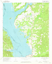
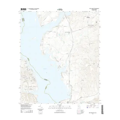
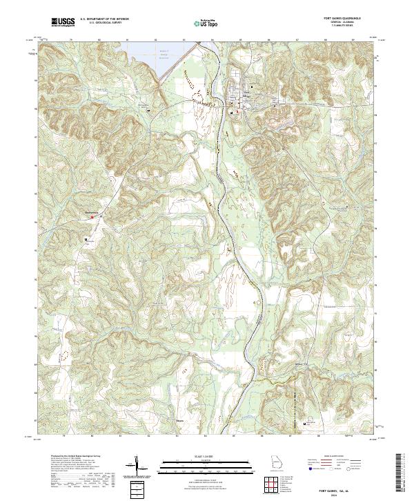 2024 Fort Gaines2024 Print · USGSThe Chattahoochee River border between Georgia and Alabama is captured here in the contemporary era, centered on the historic river town of Fort Gaines. Researchers can locate several burial sites and rural communities, including the Old Friendship AME Cem and Shorterville.
 - 2024 Map of Fort Gaines NE, 2024 Print
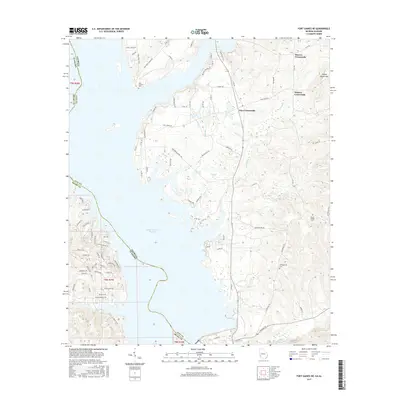
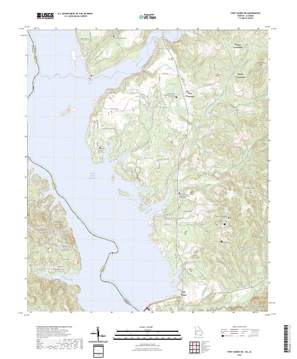 2024 Fort Gaines NE2024 Print · USGSClay County, Georgia, and the Alabama border are captured in this modern survey of the riverfront and upland crossroads. Genealogists can trace family names and historic congregations through sites like Shivers Family Cem, Days Crossroads, and Saint Peter African Methodist Episcopal Church Cem.
End of results
Showing maps 1-16 of 16
Top cities near Fort Gaines
- Eufaula historical maps
- Blakely historical maps
- Abbeville historical maps
- Bakerhill historical maps
- Coleman historical maps
- Haleburg historical maps
See more
Frequently asked questions
- What are the different types of historical maps available for Fort Gaines?
- What is the oldest map of Fort Gaines?
- Where can I purchase historical maps of Fort Gaines for my home or office?
- Where can I download high-res historical maps of Fort Gaines?
- Are there historical topographic maps available for Fort Gaines?
- Is there historical aerial imagery available for Fort Gaines?
- Where are historical maps of Fort Gaines sourced from?