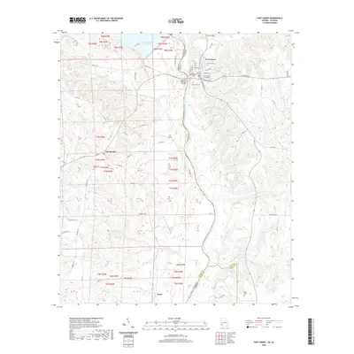
2020 Map of Fort Gaines
USGS Topo · Published 2020About this map
The Chattahoochee River defines the border between Georgia and Alabama in this survey, flowing south from the Walter F George Reservoir. On the Georgia side, the city of Fort Gaines serves as a prominent landmark, featuring the historic Clay County Courthouse and a cluster of local burial grounds including Rose Hill Cem, Fort Gaines Cem, and New Park Cem. The Henry McKemie Bridge and Killen Bridge provide critical crossings over the river and its backwaters, connecting the upland terrain of Georgia with the agricultural landscape of Alabama.
Find a feature on this map
68 named features on this map. Tap any name to fly to it.
Don’t see what you’re looking for? This feature index may not catch every label — zoom into the map to look around manually.
Map Details
Editions of this 2020 Fort Gaines Map
This is the sole edition of this map. No revisions or reprints were ever made.
Other maps of this area

1953 · Dothan
USGS Topo · 1:250,000

1954 · Dothan
USGS Topo · 1:250,000

1955 · Dothan
USGS Topo · 1:250,000

1969 · Fort Gaines
USGS Topo · 1:24,000

1969 · Fort Gaines NW
USGS Topo · 1:24,000

1969 · Fort Gaines NE
USGS Topo · 1:24,000

1969 · Abbeville East
USGS Topo · 1:24,000

1970 · Columbia NE
USGS Topo · 1:24,000

1970 · Haleburg
USGS Topo · 1:24,000
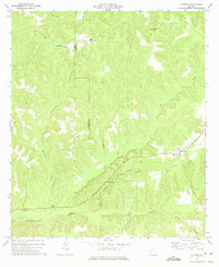
1973 · Coleman
USGS Topo · 1:24,000