2020s Maps of Dawson County, Georgia
Explore 20 historic maps of Dawson County from the 2020s. These maps offer a rare glimpse into what life looked like during the 2020s — showing old roads, neighborhoods, homes, and landmarks that have changed or disappeared over time.
Whether you're researching your family's past, planning a metal detecting trip, or studying how Dawson County's landscape evolved across the 2020s, these high-resolution maps are a powerful tool for exploring the history of this region.
- Focus on a specific era: All maps on this page are from the 2020s, giving you a focused view of this time period.
- See what’s changed: Compare century-old streets, trails, and buildings to today's modern landscape using overlays and satellite layers.
- Research with precision: Use these maps for genealogy, historical research, land use analysis, or educational projects.
- View, download, or print: Maps are fully viewable online in high resolution, and can be downloaded or printed for your own records.
Start exploring Dawson County's history through authentic maps from the 2020s. This is your window into the past.
Dawson County, GA maps
(20)- 2020 Map of Murrayville, 2020 Print
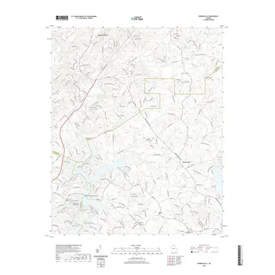 2020 Murrayville2020 Print · USGSCovers Dawson County, including Dahlonega, Indian Hills, and other nearby areas
 - 2020 Map of Chestatee, 2020 Print
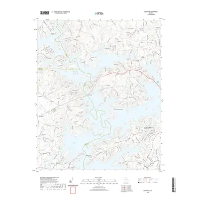 2020 Chestatee2020 Print · USGSCovers Dawson County, including Gainesville, Oakwood, and other nearby areas
 - 2020 Map of Coal Mountain, 2020 Print
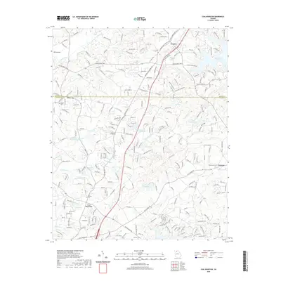 2020 Coal Mountain2020 Print · USGSCovers Dawson County, including Silver City, Lumpkin, and other nearby areas
 - 2020 Map of Amicalola, 2020 Print
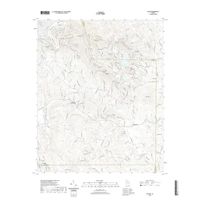
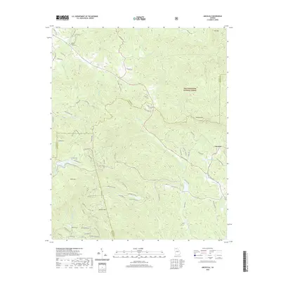 2020 Amicalola2020 Print · USGSCovers Dawson County, including Amicalola, Pickens County, and other nearby areas
 - 2020 Map of Nelson, 2020 Print
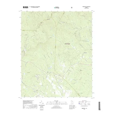
 2020 Nelson2020 Print · USGSCovers Dawson County, including Nelson, Big Canoe, and other nearby areas
 - 2020 Map of Nimblewill, 2020 Print
 2020 Nimblewill2020 Print · USGSCovers Dawson County, including Nimblewill, Afton, and other nearby areas
 - 2020 Map of Dawsonville, 2020 Print
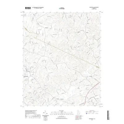 2020 Dawsonville2020 Print · USGSCovers Dawson County, including Dawsonville, Auraria, and other nearby areas
 - 2020 Map of Juno, 2020 Print
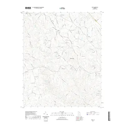 2020 Juno2020 Print · USGSCovers Dawson County, including Dawsonville, Juno, and other nearby areas
 - 2020 Map of Matt, 2020 Print
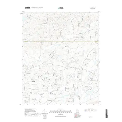 2020 Matt2020 Print · USGSCovers Dawson County, including Matt, Hightower, and other nearby areas
 - 2020 Map of Ball Ground East, 2020 Print
 2020 Ball Ground East2020 Print · USGSCovers Dawson County, including Ball Ground, Nelson, and other nearby areas
 - 2024 Map of Murrayville, 2024 Print
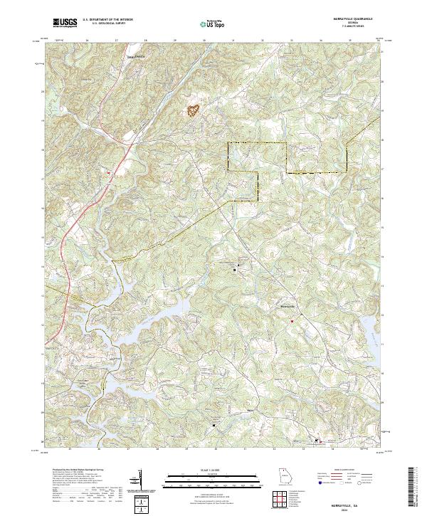 2024 Murrayville2024 Print · USGSThe foothills of North Georgia come alive in this survey of the river valleys where Lumpkin and Hall counties meet. Genealogists and historians can trace old family roots through Yellow Creek Baptist Church Cem or locate historic river crossings at Wilkie Ford.
 - 2024 Map of Ball Ground East, 2024 Print
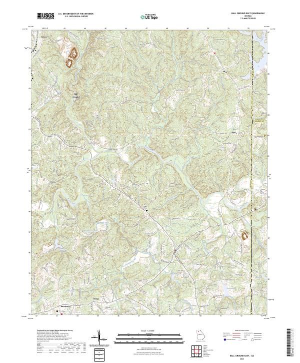 2024 Ball Ground East2024 Print · USGSThe foothills of north Georgia appear here in the early twenty-first century, showing the rural communities between the Etowah River and the Blue Ridge. Trace local history through the Old Federal Rd and family-named sites like Mica, Orange, and the Cane Creek Cem.
 - 2024 Map of Chestatee, 2024 Print
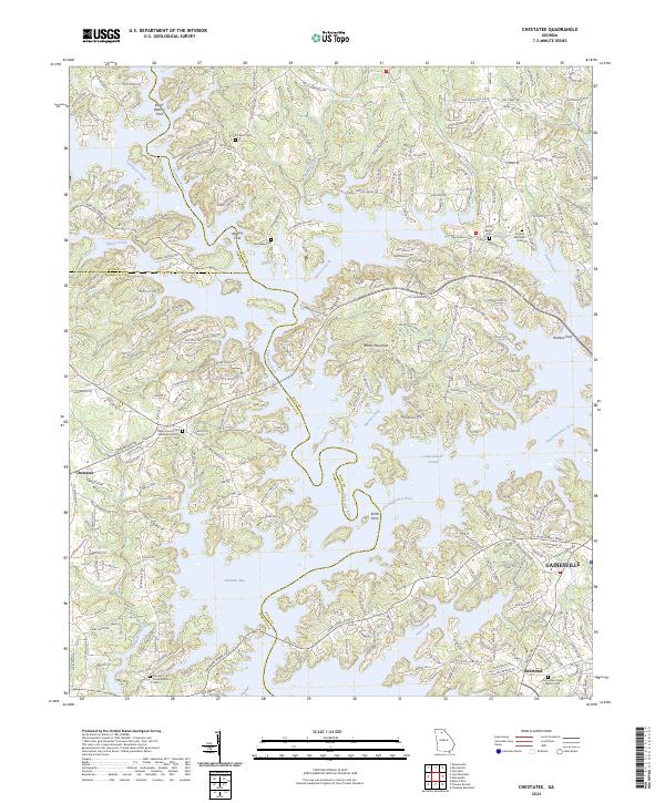 2024 Chestatee2024 Print · USGSHall County and the shores of Lake Lanier are shown in detail as the modern lakeside community meets its rural roots. Researchers can trace historic river crossings like Keith Ferry and find family-named landmarks including Wooley Ford and Chestatee Cem.
 - 2024 Map of Dawsonville, 2024 Print
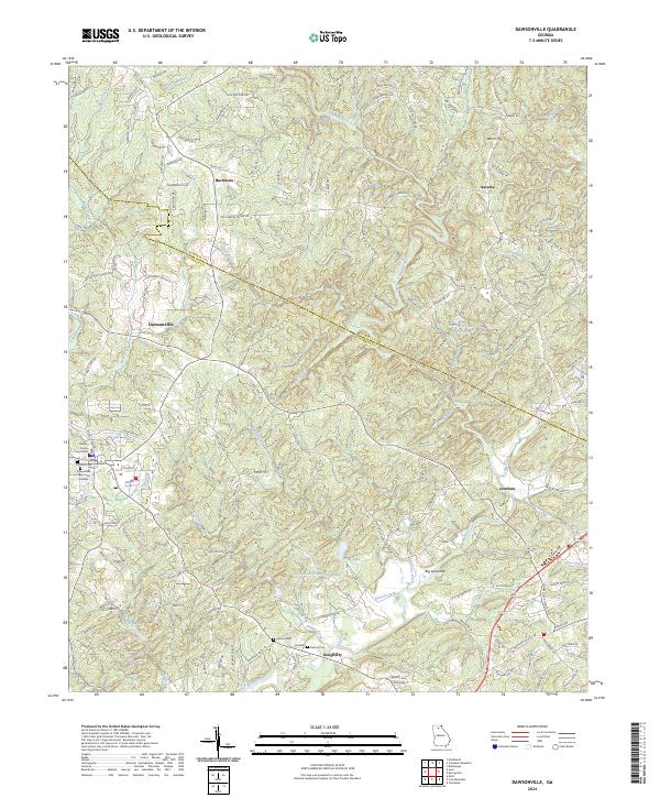 2024 Dawsonville2024 Print · USGSDawsonville and the surrounding foothills appear in this modern survey during a period of steady residential growth. Genealogists and local historians can trace family-named sites such as Martin Cem, the settlement of Auraria, and the Dawson County Courthouse.
 - 2024 Map of Amicalola, 2024 Print
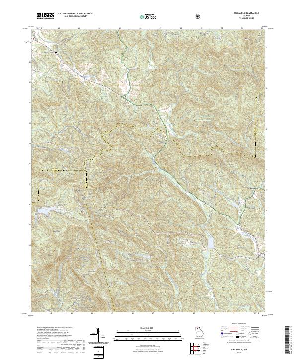 2024 Amicalola2024 Print · USGSThe North Georgia mountains near Amicalola appear here in the modern era, showing the meeting of three counties amidst high peaks. Researchers can locate the Ebenezer Baptist Church Cem and trace the paths of Amicalola Creek or Licklog Creek through the Chattahoochee National Forest.
 - 2024 Map of Nelson, 2024 Print
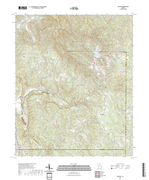 2024 Nelson2024 Print · USGSThe foothills of the Blue Ridge Mountains are seen here in recent years as they span the borders of three Georgia counties. Genealogists and hikers can trace connections between Nelson and Marblehill, or locate landmarks like Bethesda Cem and Mt Oglethorpe.
 - 2024 Map of Juno, 2024 Print
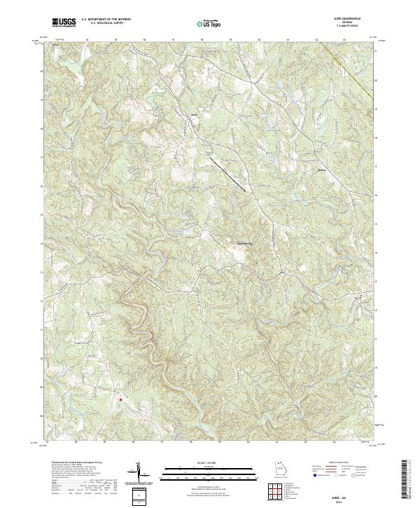 2024 Juno2024 Print · USGSThe foothills of the Blue Ridge come into sharp focus in this recent survey of North Georgia. Family historians can trace ancestral lands along Chastain Mill Rd or near the rural communities of Juno, Afton, and McKee.
 - 2024 Map of Nimblewill, 2024 Print
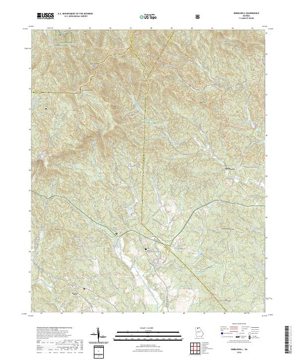 2024 Nimblewill2024 Print · USGSThe foothills of the Blue Ridge come alive in this survey of the Dawson and Lumpkin county borders. Genealogists and hikers can trace historic family burial sites like Spriggs Summerour Cem and the path of the Appalachian National Scenic Trail.
 - 2024 Map of Matt, 2024 Print
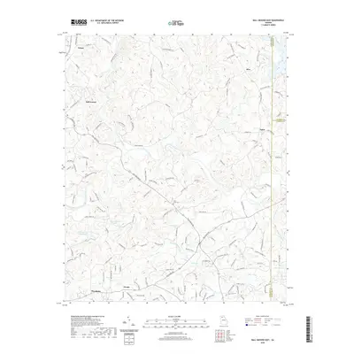
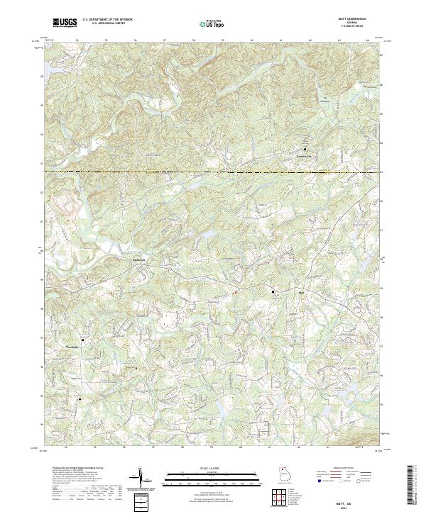 2024 Matt2024 Print · USGSForsyth and Dawson counties are shown in this contemporary survey as modern development meets historic crossroads settlements. Genealogists and local researchers can trace family landmarks like Heard Cem and the communities of Barrettsville and Hightower.
 - 2024 Map of Coal Mountain, 2024 Print
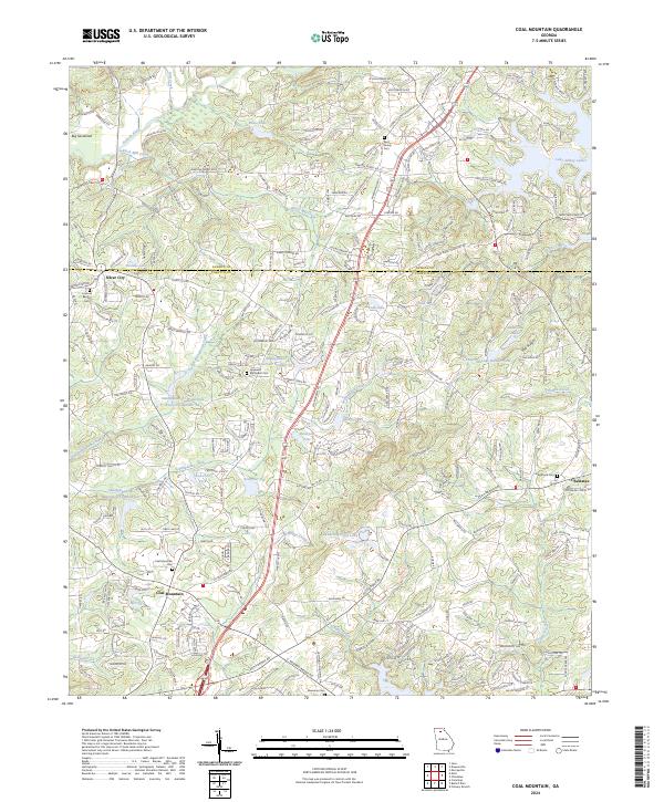 2024 Coal Mountain2024 Print · USGSThe North Georgia foothills near Coal Mountain and Silver City are captured here in the mid-2020s. Genealogists can locate several local burial sites, including the Byrd Family Cem and Hopewell Methodist Cem, alongside the waters of Lake Sidney Lanier.
End of results
Showing maps 1-20 of 20
Top cities of Dawson County
Frequently asked questions
- What are the different types of historical maps available for Dawson County?
- What is the oldest map of Dawson County?
- Where can I purchase historical maps of Dawson County for my home or office?
- Where can I download high-res historical maps of Dawson County?
- Are there historical topographic maps available for Dawson County?
- Is there historical aerial imagery available for Dawson County?
- Where are historical maps of Dawson County sourced from?