Old Maps of Brinson, Georgia for Hiking & Exploration
Hike through history with 18 historic maps of Brinson. Explore old trails, ghost towns, and forgotten backroads — perfect for outdoor adventurers and local explorers.
- Rediscover forgotten places: Map out old mining camps, roads, and footpaths that no longer exist on modern maps.
- Layer with modern tools: Combine with LiDAR or satellite views to plan hikes through historical terrain.
- Made for exploration: Popular among hikers, overlanders, and local history lovers.
Use these maps to find adventure and explore the hidden past of Brinson.
Brinson, GA maps
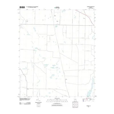
(18)- 1954 Map of Desser, 1955 Print
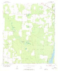 1954 Desser1955 Print · USGSSeminole County was a landscape of cypress ponds and rail-linked settlements in the mid-fifties. Researchers can trace family history at Rock Pond Courthouse or find rural landmarks like Olive Grove Ch and Trawick Cem.3 unique versions available
 - 1954 Map of Tallahassee, 1967 Print
 1954 Tallahassee1967 Print · USGSThe Florida Panhandle and South Georgia are captured here during a period of mid-century growth and military expansion. Researchers can trace the development of Panama City, the footprint of Tyndall Air Force Base, and the rail lines of the Atlantic Coast Line.4 unique versions available
 - 1955 Map of Bainbridge, 1957 Print
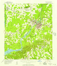 1955 Bainbridge1957 Print · USGSDecatur County, Georgia, during the mid-fifties is captured here as the new reservoir begins to reshape the landscape. Local historians can trace family roots through numerous rural landmarks like Missouri Mission Ch, Green Shade Cem, and the Fowltown PO.
 - 1959 Map of Tallahassee
 1959 Tallahassee1959 Print · USGSFlorida's Panhandle and the Big Bend region appear here in the mid-fifties, showing a landscape defined by its great river systems and developing coast. Trace the early layout of Panama City, the expansive Apalachicola National Forest, and the coastal St Marks Lighthouse.
 - 1960 Map of Tallahassee
 1960 Tallahassee1960 Print · USGSThe Florida Panhandle and southern Georgia are captured here in the mid-twentieth century, showing a region defined by its rivers and military installations. Genealogists and historians can trace the growth of Tallahassee or locate coastal landmarks like the St Marks Lighthouse and Tyndall Air Force Base.
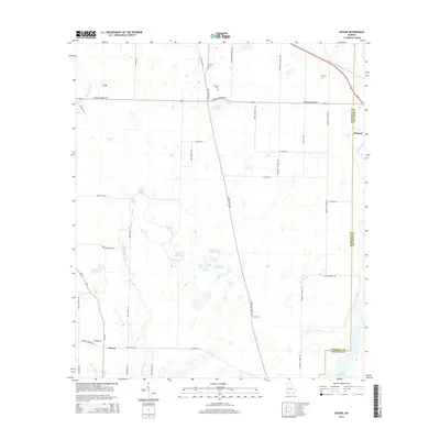
 - 1974 Map of Brinson, 1976 Print
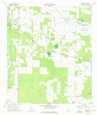 1974 Brinson1976 Print · USGSSouth Georgia's agricultural and institutional landscape comes to life in this mid-seventies survey of western Decatur County. Genealogists and researchers can trace local landmarks like Bainbridge State Hospital, Yates Springs, and the Jackson Cem.
 - 1978 Map of Bainbridge, 1980 Print
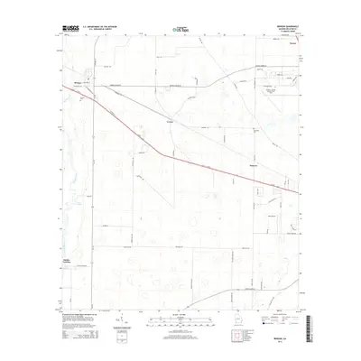
 1978 Bainbridge1980 Print · USGSIn the late seventies, this Georgia-Florida borderland was defined by the confluence of the Flint and Chattahoochee rivers. Trace the region's infrastructure via the Seaboard Coast Line Railroad and find sites like Bainbridge State Hospital.
 - 1988 Map of Tallahassee
 1988 Tallahassee1988 Print · USGSThe Florida Panhandle and South Georgia are captured here in the late eighties, showing the expansion of the regional highway network and coastal growth. Genealogists and historians can trace rail lines like the Seaboard System Railroad or locate family roots in Blountstown, Graceville, or Crawfordville.2 unique versions available
 - 2011 Map of Brinson, 2011 Print
 2011 Brinson2011 Print · USGSCovers Brinson, including Cyrene, Smiths Landing, and other nearby areas
 - 2011 Map of Desser, 2011 Print
 2011 Desser2011 Print · USGSCovers Brinson, including Lela, Desser, and other nearby areas
 - 2014 Map of Desser, 2014 Print
 2014 Desser2014 Print · USGSCovers Brinson, including Lela, Desser, and other nearby areas
 - 2014 Map of Brinson, 2014 Print
 2014 Brinson2014 Print · USGSCovers Brinson, including Cyrene, Smiths Landing, and other nearby areas
 - 2017 Map of Desser, 2017 Print
 2017 Desser2017 Print · USGSCovers Brinson, including Lela, Desser, and other nearby areas
 - 2017 Map of Brinson, 2017 Print
 2017 Brinson2017 Print · USGSCovers Brinson, including Cyrene, Smiths Landing, and other nearby areas
 - 2020 Map of Brinson, 2020 Print
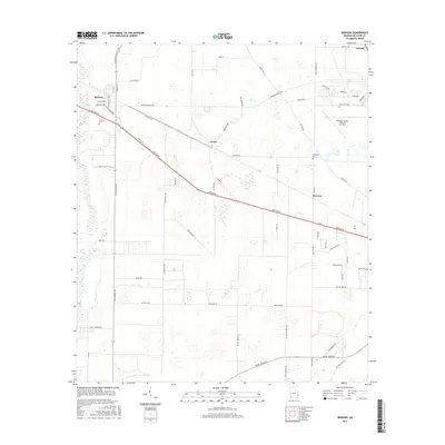
 2020 Brinson2020 Print · USGSCovers Brinson, including Cyrene, Smiths Landing, and other nearby areas
 - 2020 Map of Desser, 2020 Print
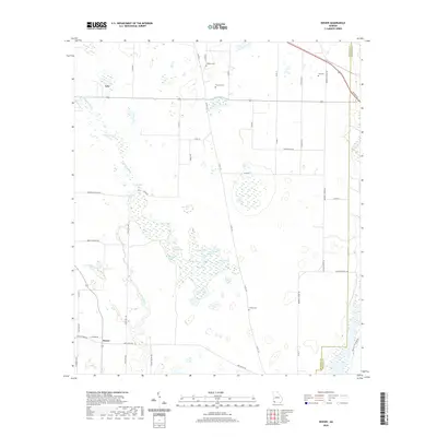 2020 Desser2020 Print · USGSCovers Brinson, including Lela, Desser, and other nearby areas
 - 2024 Map of Brinson, 2024 Print
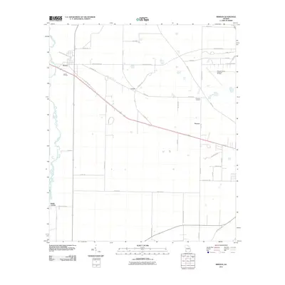
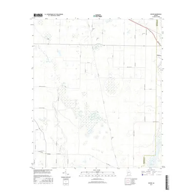
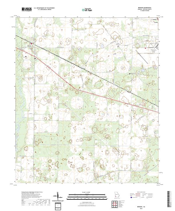 2024 Brinson2024 Print · USGSDecatur County is captured here in its modern agricultural and industrial layout. Researchers can trace family sites at Jackson Cem, visit Bethel Baptist Church, and explore the rural settlements of Cyrene and Hanover along the historic corridor of Dothan Rd.
 - 2024 Map of Desser, 2024 Print
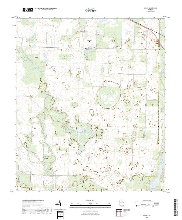 2024 Desser2024 Print · USGSSeminole County's rural landscape is mapped here in the modern era, showing the intricate wetlands surrounding the northern reaches of the Flint River. Genealogists can locate several historic family burial sites, including Chason Cem, Trawick Cem, and Williams Cem.
End of results
Showing maps 1-18 of 18
Top cities near Brinson
- Bainbridge historical maps
- Donalsonville historical maps
- Colquitt historical maps
- Iron City historical maps
Frequently asked questions
- What are the different types of historical maps available for Brinson?
- What is the oldest map of Brinson?
- Where can I purchase historical maps of Brinson for my home or office?
- Where can I download high-res historical maps of Brinson?
- Are there historical topographic maps available for Brinson?
- Is there historical aerial imagery available for Brinson?
- Where are historical maps of Brinson sourced from?