Old Maps of Unadilla, Georgia for Genealogy
Trace your family roots with 31 historic maps of Unadilla. These high-res maps reveal old neighborhoods, homesites, landmarks, and streets — helping you uncover where your ancestors lived and how the area evolved over time.
- Explore historic neighborhoods: Identify where your relatives may have lived in the 1800s or 1900s.
- Compare maps over time: Trace the changes in streets, buildings, and landmarks for multi-generational research.
- Perfect for genealogy & ancestry research: Used by family historians and researchers to map out lineage and migration.
These maps are an incredible resource for exploring your personal connection to Unadilla's past.
Unadilla, GA maps
(31)- 1956 Map of Perry, 1957 Print
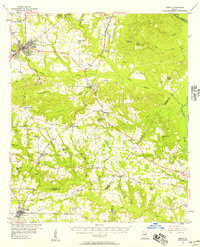 1956 Perry1957 Print · USGSCentral Georgia in the mid-fifties is captured here as a thriving agricultural and rail corridor between the Ocmulgee and the Flint. Researchers can trace the layout of legacy communities like Perry and Unadilla, as well as numerous rural landmarks like Kings Chapel Sch and Macedonia Ch.2 unique versions available
 - 1957 Map of Macon
 1957 Macon1957 Print · USGSMid-century Georgia comes into focus as the river-and-rail economy shifts toward a new era of aviation and highway travel. Trace family roots and vanished landmarks across the Ocmulgee River valley from Macon to the onion fields of Vidalia.
 - 1958 Map of Macon
 1958 Macon1958 Print · USGSMiddle Georgia during the late fifties shows the post-war expansion of Warner Robins alongside the deep-rooted rail hubs of the Central of Georgia line. Researchers can trace the river-bound boundaries of numerous counties and find local landmarks like Veterans Memorial Hospital and Robins AFB.
 - 1964 Map of Macon
 1964 Macon1964 Print · USGSCentral Georgia in the mid-sixties is defined by its major river valleys and a booming military presence. Genealogists and historians can trace the growth of Warner Robins near Robins AFB or locate smaller rural junctions like Allentown and Jeffersonville along the historic Southern railroad lines.2 unique versions available
 - 1971 Map of Pineview NW, 1974 Print
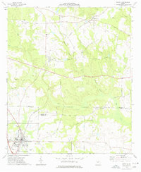
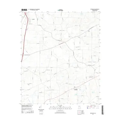
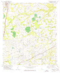 1971 Pineview NW1974 Print · USGSThe rural Dooly County landscape in the early seventies centers on the town of Unadilla and its rail connections. Researchers can trace local genealogy through numerous country churches and cemeteries, including Poplar Springs Ch, Mars Hill Ch, and the area around Pocosin Pond.2 unique versions available
 - 1971 Map of Henderson, 1975 Print
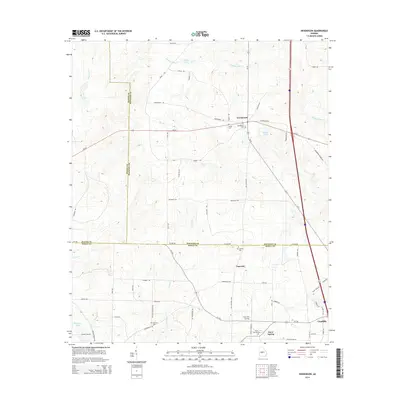
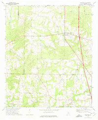 1971 Henderson1975 Print · USGSHouston and Dooly County farmlands are captured here in the early 1970s, showcasing a landscape of rural congregations and small family-named settlements. You can trace local roots through numerous landmarks like Shiloh Cem, New Poplar Spring Ch, and the community of Henderson.
 - 1971 Map of Pinehurst, 1975 Print
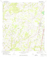 1971 Pinehurst1975 Print · USGSDooly County in the early seventies shows a landscape of established rail towns and rural farming communities connected by two major rail lines. Genealogists can trace family names and local sites from Pinehurst and Lilly to the Old Mt Zion Ch and Evergreen Cem.2 unique versions available
 - 1973 Map of Unadilla, 1977 Print
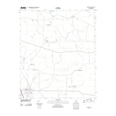
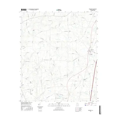
 1973 Unadilla1977 Print · USGSDooly and Houston Counties are captured in the early 1970s, showcasing a landscape of established rail towns and family farmsteads. Researchers can trace local roots at Means Lane Cem, Southside Sch, and the quiet crossroads of Grovania.
 - 1977 Map of Hawkinsville
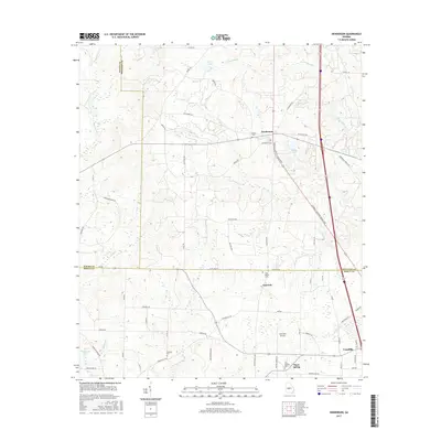
 1977 Hawkinsville1977 Print · USGSSouth Georgia’s agricultural and rail heartland is meticulously documented during the late seventies. Researchers can trace family ties and transit routes through old depots and towns like Unadilla, Pineview, and Hawkinsville along the Ocmulgee River.
 - 1978 Map of Hawkinsville, 1979 Print
 1978 Hawkinsville1979 Print · USGSMiddle Georgia's agricultural and rail heartland is captured here in the late seventies, showing the vital connections between the Ocmulgee River and the rural plains. Genealogists and historians can trace family locations near Vienna, Hawkinsville, or along the tracks of the Southern railroad.
 - 1988 Map of Macon, 1989 Print
 1988 Macon1989 Print · USGSCentral Georgia is captured during the late eighties, showing the expansive river systems and growing urban hubs of the regional interior. Genealogists and historians can trace the paths of the Central of Georgia Railroad and locate communities like Warner Robbins, Dublin, and Sandersville.
 - 2011 Map of Pinehurst, 2011 Print
 2011 Pinehurst2011 Print · USGSCovers Unadilla, including Pinehurst, Lilly, and other nearby areas
 - 2011 Map of Pineview NW, 2011 Print
 2011 Pineview NW2011 Print · USGSCovers Unadilla, including Mars Hill Crossroads, Dooly County, and other nearby areas
 - 2011 Map of Henderson, 2011 Print
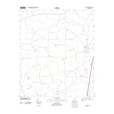
 2011 Henderson2011 Print · USGSCovers Unadilla, including Henderson, Snow Spring, and other nearby areas
 - 2011 Map of Unadilla, 2011 Print
 2011 Unadilla2011 Print · USGSCovers Unadilla, including Sugar Hill, Elko, and other nearby areas
 - 2014 Map of Henderson, 2014 Print
 2014 Henderson2014 Print · USGSCovers Unadilla, including Henderson, Snow Spring, and other nearby areas
 - 2014 Map of Pinehurst, 2014 Print
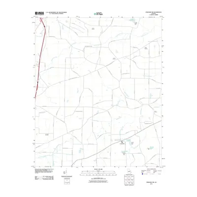
 2014 Pinehurst2014 Print · USGSCovers Unadilla, including Pinehurst, Lilly, and other nearby areas
 - 2014 Map of Pineview NW, 2014 Print
 2014 Pineview NW2014 Print · USGSCovers Unadilla, including Mars Hill Crossroads, Dooly County, and other nearby areas
 - 2014 Map of Unadilla, 2014 Print
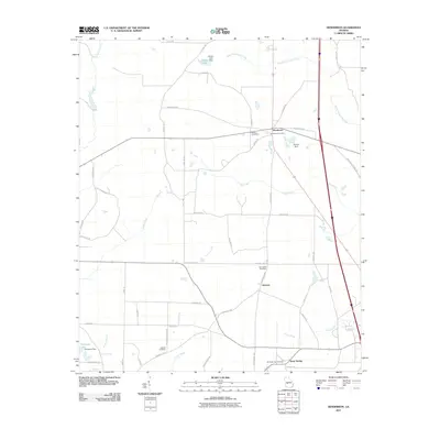
 2014 Unadilla2014 Print · USGSCovers Unadilla, including Sugar Hill, Elko, and other nearby areas
 - 2017 Map of Henderson, 2017 Print
 2017 Henderson2017 Print · USGSCovers Unadilla, including Henderson, Snow Spring, and other nearby areas
 - 2017 Map of Pinehurst, 2017 Print
 2017 Pinehurst2017 Print · USGSCovers Unadilla, including Pinehurst, Lilly, and other nearby areas
 - 2017 Map of Pineview NW, 2017 Print
 2017 Pineview NW2017 Print · USGSCovers Unadilla, including Mars Hill Crossroads, Dooly County, and other nearby areas
 - 2017 Map of Unadilla, 2017 Print
 2017 Unadilla2017 Print · USGSCovers Unadilla, including Sugar Hill, Elko, and other nearby areas
 - 2020 Map of Henderson, 2020 Print
 2020 Henderson2020 Print · USGSCovers Unadilla, including Henderson, Snow Spring, and other nearby areas
 - 2020 Map of Pinehurst, 2020 Print
 2020 Pinehurst2020 Print · USGSCovers Unadilla, including Pinehurst, Lilly, and other nearby areas
Showing maps 1-25 of 31
Top cities near Unadilla
- Perry historical maps
- Hawkinsville historical maps
- Vienna historical maps
- Marshallville historical maps
- Pineview historical maps
- Byromville historical maps
See more
Frequently asked questions
- What are the different types of historical maps available for Unadilla?
- What is the oldest map of Unadilla?
- Where can I purchase historical maps of Unadilla for my home or office?
- Where can I download high-res historical maps of Unadilla?
- Are there historical topographic maps available for Unadilla?
- Is there historical aerial imagery available for Unadilla?
- Where are historical maps of Unadilla sourced from?