Old Maps of Summertown, Georgia for Academic Research
Study the evolution of Summertown with 17 high-resolution historic maps. Whether you're teaching, researching, or modeling changes in land use, these maps provide essential visual documentation of urban, environmental, and geographic change.
- Analyze long-term change: Track patterns in development, transportation, and natural features.
- Ideal for environmental or urban studies: Support academic projects with primary historical map data.
- Use in the classroom or lab: Educators and researchers rely on these maps to bring historical context to life.
These maps are a powerful tool for teaching, research, and visualizing how Summertown has changed over the decades.
Summertown, GA maps
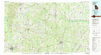
(17)- 1957 Map of Macon
 1957 Macon1957 Print · USGSMid-century Georgia comes into focus as the river-and-rail economy shifts toward a new era of aviation and highway travel. Trace family roots and vanished landmarks across the Ocmulgee River valley from Macon to the onion fields of Vidalia.
 - 1958 Map of Macon
 1958 Macon1958 Print · USGSMiddle Georgia during the late fifties shows the post-war expansion of Warner Robins alongside the deep-rooted rail hubs of the Central of Georgia line. Researchers can trace the river-bound boundaries of numerous counties and find local landmarks like Veterans Memorial Hospital and Robins AFB.
 - 1964 Map of Macon
 1964 Macon1964 Print · USGSCentral Georgia in the mid-sixties is defined by its major river valleys and a booming military presence. Genealogists and historians can trace the growth of Warner Robins near Robins AFB or locate smaller rural junctions like Allentown and Jeffersonville along the historic Southern railroad lines.2 unique versions available
 - 1971 Map of Summertown, 1974 Print
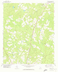 1971 Summertown1974 Print · USGSEmanuel County's rural rail corridor is well-preserved in this early 1970s survey of the Georgia backcountry. Genealogists can trace family connections through numerous landmarks like New Hope Ch, Old Dellwood, and the Central of Georgia Railroad.2 unique versions available
 - 1973 Map of Colemans Lake, 1976 Print
 1973 Colemans Lake1976 Print · USGSCoastal plain river life and rural Georgia rail hubs meet in the early 1970s where three counties converge. Genealogists and local historians can trace family church sites like Mt Sinai Ch and Green Grove Ch or explore the river-bottom geography of Seven Cypresses and Franklins Bluff.
 - 1981 Map of Dublin
 1981 Dublin1981 Print · USGSEast Georgia in the early eighties shows a landscape defined by its river basins and a persistent rail network. Genealogists and historians can trace family roots through historic town centers like Sandersville, Swainsboro, and Louisville or follow the Old Railroad Grade.
 - 1988 Map of Macon, 1989 Print
 1988 Macon1989 Print · USGSCentral Georgia is captured during the late eighties, showing the expansive river systems and growing urban hubs of the regional interior. Genealogists and historians can trace the paths of the Central of Georgia Railroad and locate communities like Warner Robbins, Dublin, and Sandersville.
 - 2011 Map of Summertown, 2011 Print
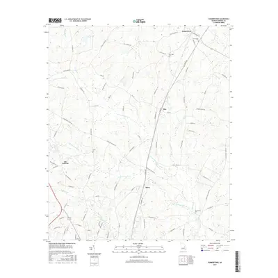
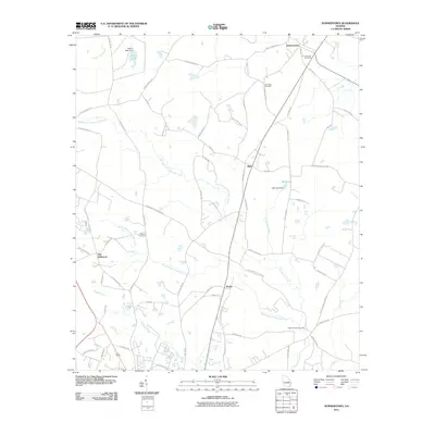 2011 Summertown2011 Print · USGSCovers Summertown, including Blun, Modoc, and other nearby areas
 - 2011 Map of Colemans Lake, 2011 Print
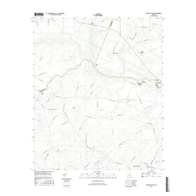
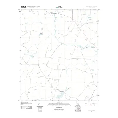 2011 Colemans Lake2011 Print · USGSCovers Summertown, including Midville, Gertrude, and other nearby areas
 - 2014 Map of Summertown, 2014 Print
 2014 Summertown2014 Print · USGSCovers Summertown, including Blun, Modoc, and other nearby areas
 - 2014 Map of Colemans Lake, 2014 Print
 2014 Colemans Lake2014 Print · USGSCovers Summertown, including Midville, Gertrude, and other nearby areas
 - 2017 Map of Summertown, 2017 Print
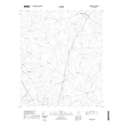
 2017 Summertown2017 Print · USGSCovers Summertown, including Blun, Modoc, and other nearby areas
 - 2017 Map of Colemans Lake, 2017 Print
 2017 Colemans Lake2017 Print · USGSCovers Summertown, including Midville, Gertrude, and other nearby areas
 - 2020 Map of Colemans Lake, 2020 Print
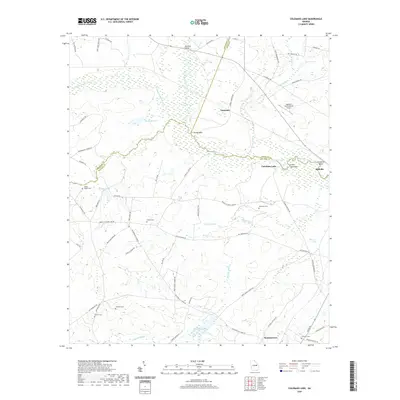 2020 Colemans Lake2020 Print · USGSCovers Summertown, including Midville, Gertrude, and other nearby areas
 - 2020 Map of Summertown, 2020 Print
 2020 Summertown2020 Print · USGSCovers Summertown, including Blun, Modoc, and other nearby areas
 - 2024 Map of Colemans Lake, 2024 Print
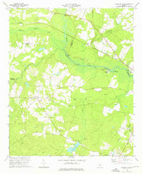
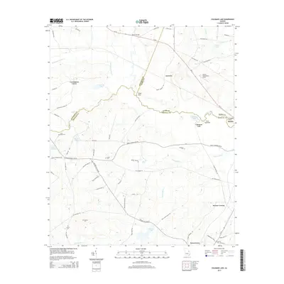
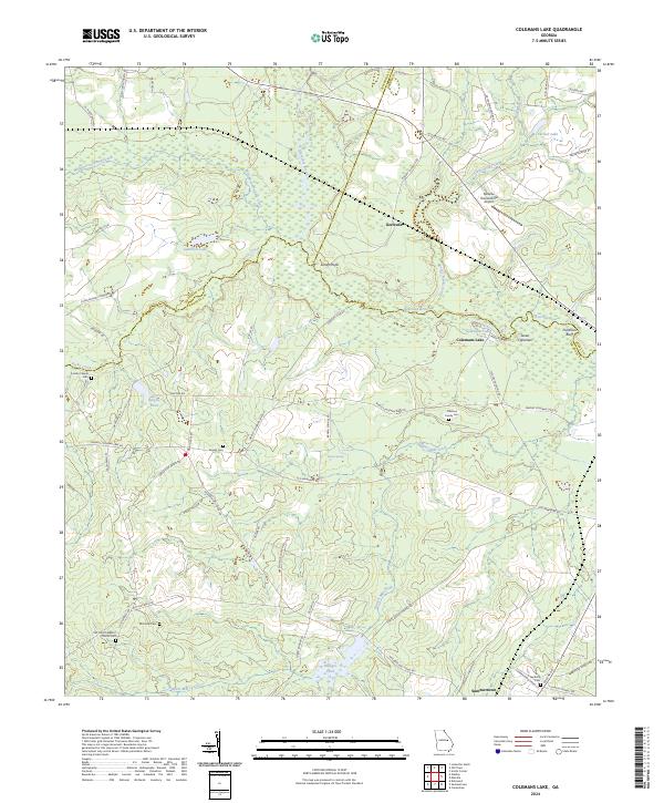 2024 Colemans Lake2024 Print · USGSSummertown and the Ogeechee River valley appear here in the early twenty-first century, showing a landscape defined by water and family history. Researchers can trace ancestral roots at Old Corinth Baptist Church, Greens Cem, or Coleman Family Cem near Colemans Lake.
 - 2024 Map of Summertown, 2024 Print
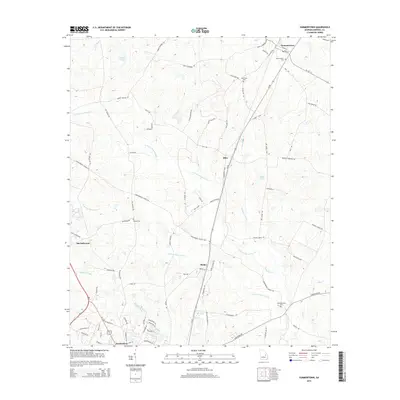
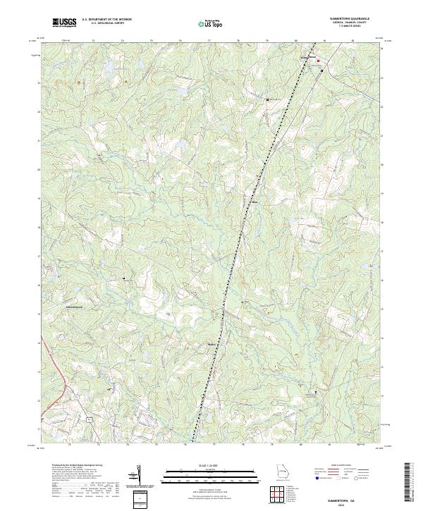 2024 Summertown2024 Print · USGSSummertown and the creek valleys of Emanuel County are captured in this modern survey of rural Georgia. Genealogists and local historians can trace family-named routes and landmark sites like Old Dellwood, Moxley Cem, and Hawhammock Church/Cem.
End of results
Showing maps 1-17 of 17
Top cities near Summertown
- Swainsboro historical maps
- Louisville historical maps
- Wadley historical maps
- Twin City historical maps
- Midville historical maps
- Bartow historical maps
See more
Frequently asked questions
- What are the different types of historical maps available for Summertown?
- What is the oldest map of Summertown?
- Where can I purchase historical maps of Summertown for my home or office?
- Where can I download high-res historical maps of Summertown?
- Are there historical topographic maps available for Summertown?
- Is there historical aerial imagery available for Summertown?
- Where are historical maps of Summertown sourced from?