2020s Maps of Evans County, Georgia
Explore 18 historic maps of Evans County from the 2020s. These maps offer a rare glimpse into what life looked like during the 2020s — showing old roads, neighborhoods, homes, and landmarks that have changed or disappeared over time.
Whether you're researching your family's past, planning a metal detecting trip, or studying how Evans County's landscape evolved across the 2020s, these high-resolution maps are a powerful tool for exploring the history of this region.
- Focus on a specific era: All maps on this page are from the 2020s, giving you a focused view of this time period.
- See what’s changed: Compare century-old streets, trails, and buildings to today's modern landscape using overlays and satellite layers.
- Research with precision: Use these maps for genealogy, historical research, land use analysis, or educational projects.
- View, download, or print: Maps are fully viewable online in high resolution, and can be downloaded or printed for your own records.
Start exploring Evans County's history through authentic maps from the 2020s. This is your window into the past.
Evans County, GA maps
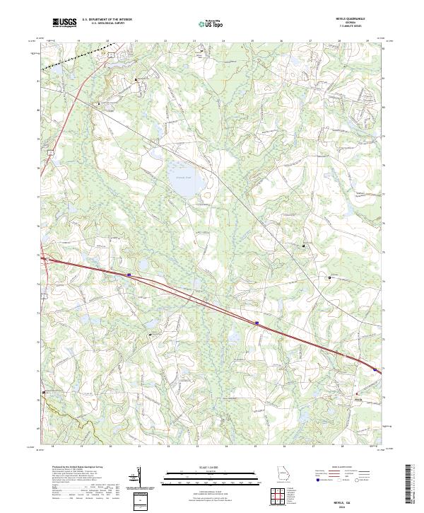
(18)- 2020 Map of Nevils, 2020 Print
 2020 Nevils2020 Print · USGSCovers Evans County, including Nevils, Bulloch County, and other nearby areas
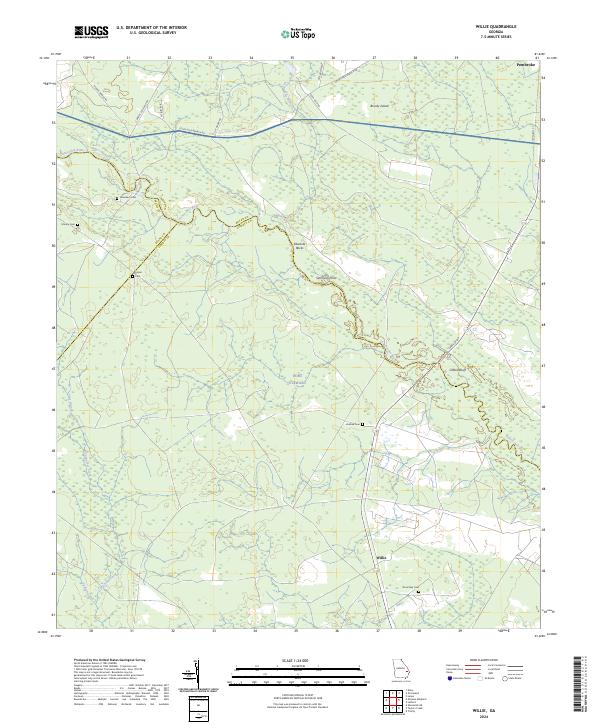
 - 2020 Map of Willie, 2020 Print
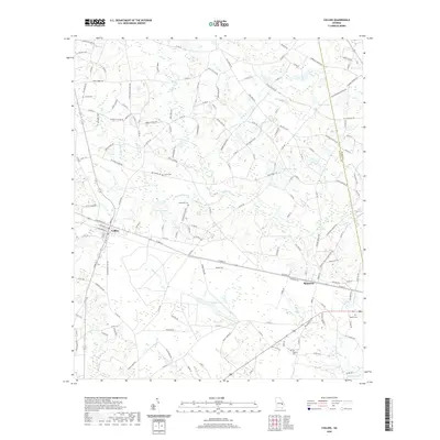
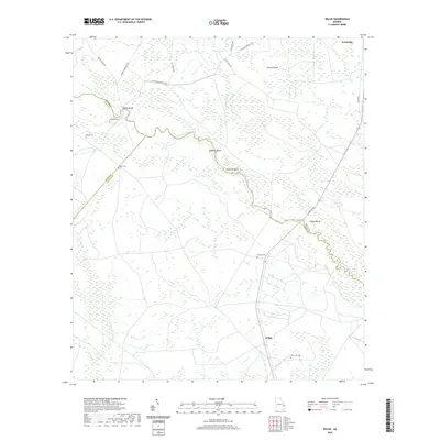 2020 Willie2020 Print · USGSCovers Evans County, including Pembroke, Willie, and other nearby areas
 - 2020 Map of Register, 2020 Print
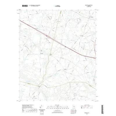 2020 Register2020 Print · USGSCovers Evans County, including Register, New Hope, and other nearby areas
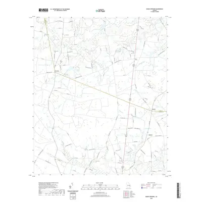
 - 2020 Map of Daisy, 2020 Print
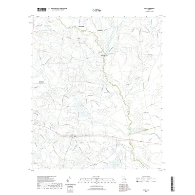 2020 Daisy2020 Print · USGSCovers Evans County, including Daisy, Edna, and other nearby areas
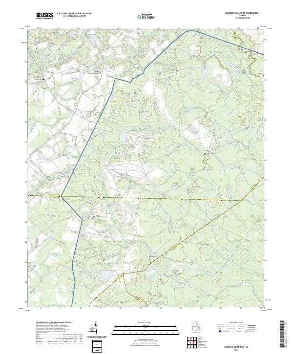
 - 2020 Map of Glissons Millpond, 2020 Print
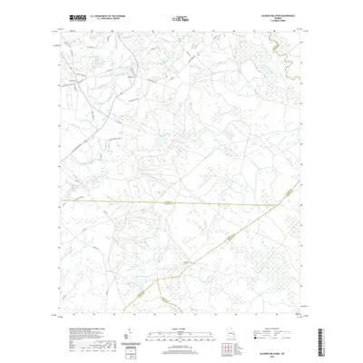 2020 Glissons Millpond2020 Print · USGSCovers Evans County, including Camp Olvier, Liberty County, and other nearby areas
 - 2020 Map of Claxton, 2020 Print
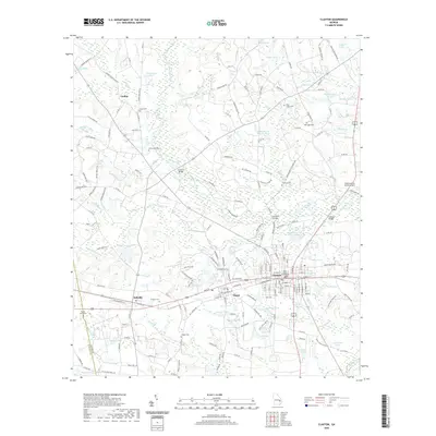 2020 Claxton2020 Print · USGSCovers Evans County, including Claxton, Hagan, and other nearby areas
 - 2020 Map of Collins, 2020 Print
 2020 Collins2020 Print · USGSCovers Evans County, including Collins, Manassas, and other nearby areas
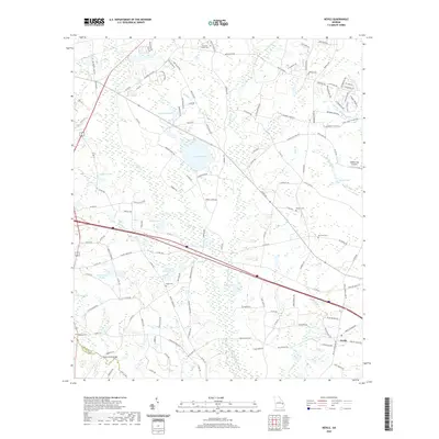
 - 2020 Map of Metter SE, 2020 Print
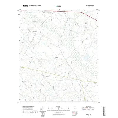 2020 Metter SE2020 Print · USGSCovers Evans County, including Metter, Tattnall County, and other nearby areas
 - 2020 Map of Deans Crossing, 2020 Print
 2020 Deans Crossing2020 Print · USGSCovers Evans County, including Jennie, Bay Branch, and other nearby areas
 - 2024 Map of Willie, 2024 Print
 2024 Willie2024 Print · USGSCoastal Georgia's riverine landscape is captured here in the contemporary era, showing where the boundaries of Bryan, Evans, and Liberty counties meet. Genealogists can trace family heritage at Strum Bay Cem and Jerusalem Cem or follow the banks of the Canoochee River.
 - 2024 Map of Nevils, 2024 Print
 2024 Nevils2024 Print · USGSThe community of Nevils and the surrounding Georgia coastal plain are documented here in recent years, showing a landscape shaped by farming and faith. Genealogists can locate family landmarks like Brannen-Wilson Cem, Waters Cem, and Union Church.
 - 2024 Map of Glissons Millpond, 2024 Print
 2024 Glissons Millpond2024 Print · USGSCoastal Plain wetlands and the sprawling grounds of Fort Stewart define this corner of Georgia in the early twenty-first century. Researchers can trace family history through local landmarks like Antioch Baptist Church Cem, Sand Hill Cem, and the waters of Barnard Mill.
 - 2024 Map of Register, 2024 Print
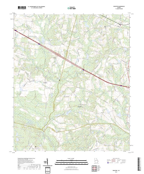 2024 Register2024 Print · USGSBulloch and Candler counties are captured in this modern survey of rural Georgia, where agriculture and interstate transport meet. Genealogists can trace family landmarks like Saint Pauls Cem while historians study the landscape around Register and the Canoochee River.
 - 2024 Map of Deans Crossing, 2024 Print
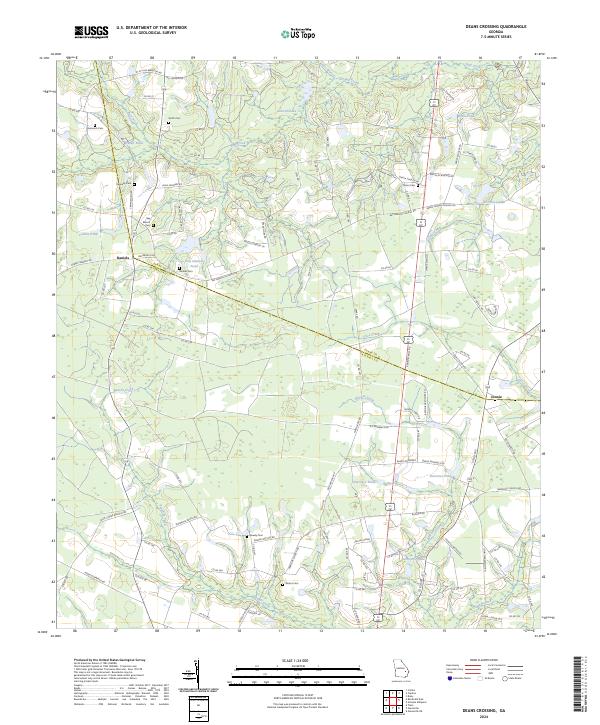 2024 Deans Crossing2024 Print · USGSThe rural expanse of the Georgia coastal plain comes into focus in this recent survey of the Evans and Tattnall county line. Researchers can trace family history through numerous rural landmarks like Daniels Cem, Bay Branch Cem, and the settlement at Jennie.
 - 2024 Map of Daisy, 2024 Print
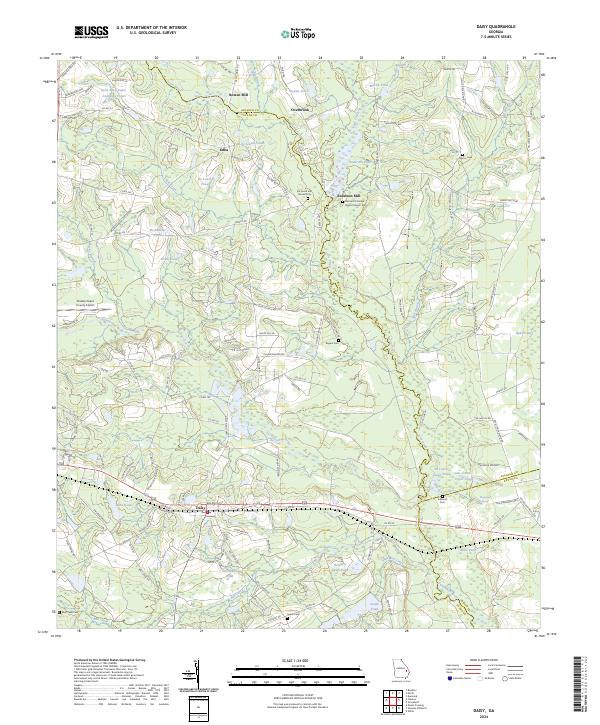 2024 Daisy2024 Print · USGSIn the Georgia coastal plain, the town of Daisy and the surrounding pine woods appear here just as the modern era intersects with deep-rooted rural history. Researchers can trace family names through numerous landmarks like Anderson Mill, the Rogers Cem, and the Georgia Central Railway corridor.
 - 2024 Map of Claxton, 2024 Print
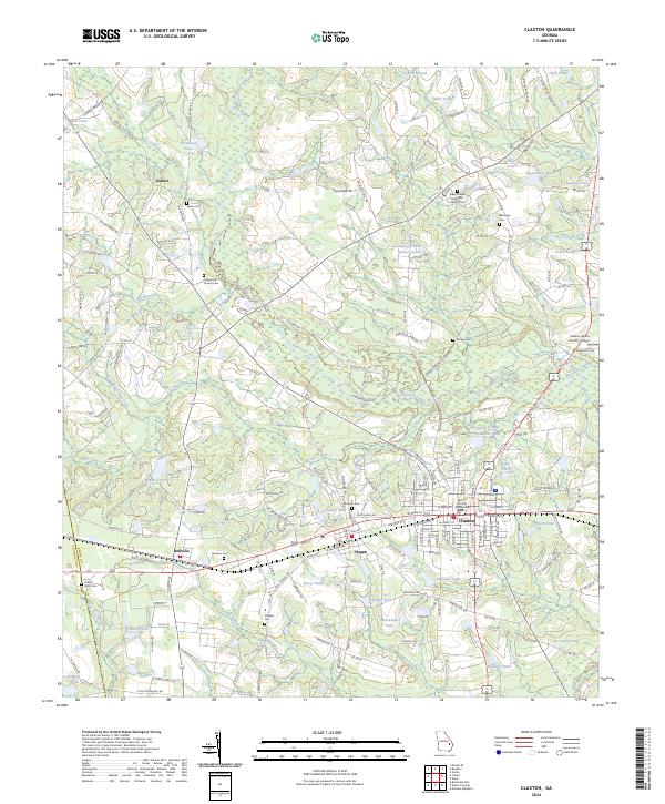 2024 Claxton2024 Print · USGSClaxton and its neighboring towns of Hagan and Bellville are shown during the early twenty-first century as they continue to serve as the heart of Evans County. Researchers can trace local history through numerous sites including Canoochee Church Cem, Emmaus Cem, and the Evans County Courthouse.
 - 2024 Map of Collins, 2024 Print
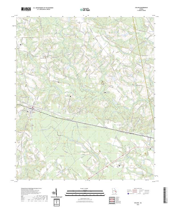 2024 Collins2024 Print · USGSSettlement in southern Georgia centers on the railway corridor between Collins and Manassas in this detailed survey. Genealogists can trace family names through landmarks like Tippins Cemetery, Wilkerson Cemetery, and Old Anderson Church Cemetery.
 - 2024 Map of Metter SE, 2024 Print
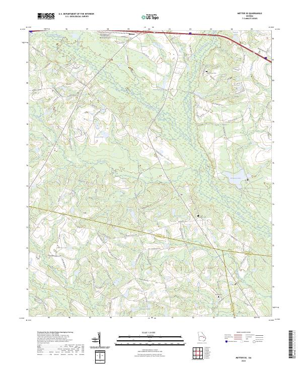 2024 Metter SE2024 Print · USGSSoutheast of Metter in the early twenty-first century, this landscape is defined by the winding Canoochee River and a complex web of rural county lines. Researchers can locate family landmarks and burial sites like Dixon Grove Cem or trace the waters of Wolfe Creek and Laniers Pond.
End of results
Showing maps 1-18 of 18
Top cities of Evans County
Frequently asked questions
- What are the different types of historical maps available for Evans County?
- What is the oldest map of Evans County?
- Where can I purchase historical maps of Evans County for my home or office?
- Where can I download high-res historical maps of Evans County?
- Are there historical topographic maps available for Evans County?
- Is there historical aerial imagery available for Evans County?
- Where are historical maps of Evans County sourced from?