2010s Maps of Evans County, Georgia
Explore 27 historic maps of Evans County from the 2010s. These maps offer a rare glimpse into what life looked like during the 2010s — showing old roads, neighborhoods, homes, and landmarks that have changed or disappeared over time.
Whether you're researching your family's past, planning a metal detecting trip, or studying how Evans County's landscape evolved across the 2010s, these high-resolution maps are a powerful tool for exploring the history of this region.
- Focus on a specific era: All maps on this page are from the 2010s, giving you a focused view of this time period.
- See what’s changed: Compare century-old streets, trails, and buildings to today's modern landscape using overlays and satellite layers.
- Research with precision: Use these maps for genealogy, historical research, land use analysis, or educational projects.
- View, download, or print: Maps are fully viewable online in high resolution, and can be downloaded or printed for your own records.
Start exploring Evans County's history through authentic maps from the 2010s. This is your window into the past.
Evans County, GA maps
(27)- 2011 Map of Collins, 2011 Print
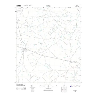 2011 Collins2011 Print · USGSThe rail towns of Collins and Manassas anchor this Tattnall County landscape during the early twenty-first century. Family history researchers can locate several notable burial sites including Old Tippins Cemetery, Rewis Cemetery, and the Tattnall Campground.
 - 2011 Map of Metter SE, 2011 Print
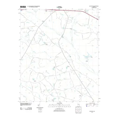 2011 Metter SE2011 Print · USGSSoutheastern Georgia’s water-rich landscape is captured here in the early twenty-first century, showcasing the managed wetlands and tributaries of the Canoochee River. Genealogists and researchers can locate family landmarks such as Everitt Cemetery, Holland Cemetery, and Cowart Bridge.
 - 2011 Map of Deans Crossing, 2011 Print
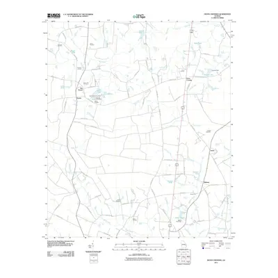 2011 Deans Crossing2011 Print · USGSThis rural Georgia landscape near the start of the twenty-first century shows a community deeply rooted in its local geography. Researchers can trace family history through numerous burial sites like Hammock Cemetery and Smith Cemetery, or locate the quiet crossings at Blocker Ford.
 - 2011 Map of Daisy, 2011 Print
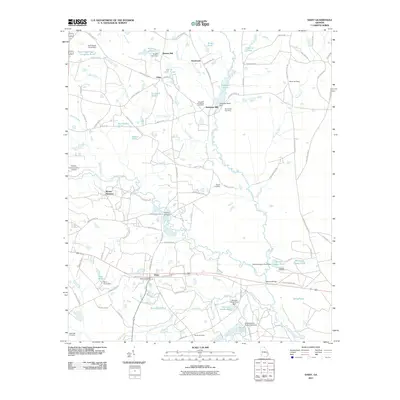 2011 Daisy2011 Print · USGSDaisy and the surrounding Evans County countryside are documented here in the early twenty-first century as the landscape maintains its traditional rural character. Genealogists and local historians can trace family burial sites at De Loachs Cemetery or Martin Cemetery and locate historical milling sites like Bowen Mill.
 - 2011 Map of Glissons Millpond, 2011 Print
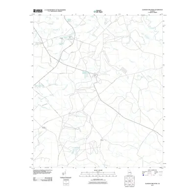 2011 Glissons Millpond2011 Print · USGSCoastal Georgia's rural interior is documented here in the early twenty-first century, centered on the waterways of Evans County. Researchers can locate family landmarks such as Antioch Cemetery and trace the paths of Barnard Mill and Glissons Millpond.
 - 2011 Map of Willie, 2011 Print
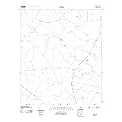 2011 Willie2011 Print · USGSThe Georgia coastal plain around Willie is shown here in the early twenty-first century, centered on the winding Canoochee River. Genealogists and local historians can trace family locations through Moody Cemetery, Salem Cemetery, and Jerusalem Cemetery.
 - 2011 Map of Claxton, 2011 Print
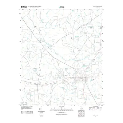 2011 Claxton2011 Print · USGSClaxton and the surrounding Evans County countryside are shown here in the early 2000s, anchored by the winding Canoochee River. Researchers can locate numerous family burial sites like Eason Cemetery and trace historical local industry at Perkins Mill.
 - 2011 Map of Nevils, 2011 Print
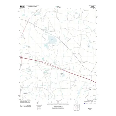 2011 Nevils2011 Print · USGSBulloch County's agricultural heartland is captured here in the early twenty-first century, centered on the community of Nevils. Local historians can trace family roots through numerous sites like Union Cemetery, Waters Cemetery, and the Scott Creek Bridge.
 - 2011 Map of Register, 2011 Print
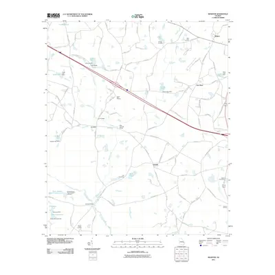 2011 Register2011 Print · USGSBulloch County's rural landscape at the start of the twenty-first century reveals a deeply personal geography of family-named landmarks and small settlements. Genealogists and local historians can trace family ties at Saint Pauls Cemetery, cross the Mike Kennedy Bridge, and locate homesites near Adabelle and New Hope.
 - 2014 Map of Register, 2014 Print
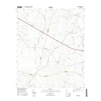 2014 Register2014 Print · USGSCoastal Plain wetlands and rural settlements define this part of Georgia in the early twenty-first century. Researchers can trace family history at Saint Pauls Cem or locate old crossings like Hi-Hill Bridge along the Canoochee River.
 - 2014 Map of Willie, 2014 Print
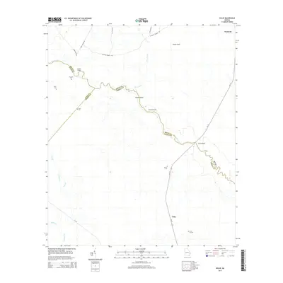 2014 Willie2014 Print · USGSCoastal Georgia's riverine borderlands are detailed here in the early 2000s, where the winding Canoochee River separates three counties. Researchers can locate several historic burial sites like Jerusalem Cem and Salem Cem, or trace landmarks like Clifton Bluff and the crossroads at Willie.
 - 2014 Map of Deans Crossing, 2014 Print
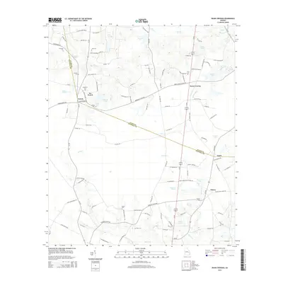 2014 Deans Crossing2014 Print · USGSCoastal Georgia's rural interior comes into focus during this mid-decade survey of the Evans and Tattnall county line. Genealogists and local historians can locate specific family burial grounds such as Union Cem and trace the paths around Deans Crossing and Jennie.
 - 2014 Map of Nevils, 2014 Print
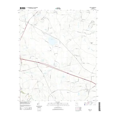 2014 Nevils2014 Print · USGSBulloch County's rural farming landscape and family homesteads are captured here in the early twenty-first century. Genealogists and local historians can trace legacy sites like the Waters Cem, Ephesus Church, and the community of Nevils.
 - 2014 Map of Claxton, 2014 Print
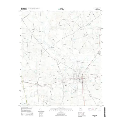 2014 Claxton2014 Print · USGSCoastal Plain river life and rural settlements thrive along the Canoochee River in the early twenty-first century. Genealogists and local historians can trace family locations through several historic sites, including Wilbanks-Brewton Cem, Eason Cem, and the old settlement of Undine.
 - 2014 Map of Glissons Millpond, 2014 Print
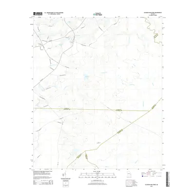 2014 Glissons Millpond2014 Print · USGSCoastal plain wetlands and family landholdings dominate this south Georgia landscape in the early twenty-first century. Researchers can locate ancestral sites like Barnard Cem and Sand Hill Cem or trace the waters of Glissons Millpond.
 - 2014 Map of Metter SE, 2014 Print
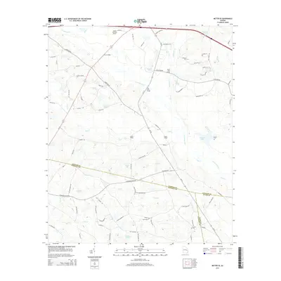 2014 Metter SE2014 Print · USGSSoutheast of Metter in the mid-2010s, the river valleys of the Canoochee and Fifteenmile Creek shaped the local road network and county boundaries. Researchers can trace historic river crossings and family burial grounds including Turner Bridge, Dixon Grove Cem, and Holland Cem.
 - 2014 Map of Daisy, 2014 Print
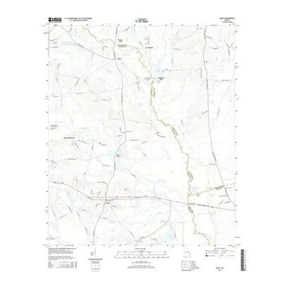 2014 Daisy2014 Print · USGSCoastal plain settlements and mill sites define this corner of Evans and Bulloch counties during the early twenty-first century. Researchers can trace family-named landmarks and old crossings such as Bowen Mill, Rogers Bridge, and De Loachs Cem.
 - 2014 Map of Collins, 2014 Print
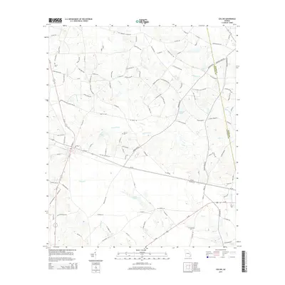 2014 Collins2014 Print · USGSThe rural crossing at Collins and the Tattnall-Evans county line are captured here in the early twenty-first century. Genealogists can locate family burial grounds like Old Tippins Cem and Jerrell Cem amidst the drainages of Cedar Cr and Cypress Flat Cr.
 - 2017 Map of Claxton, 2017 Print
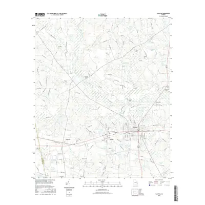 2017 Claxton2017 Print · USGSCoastal plain settlements and family-named landmarks populate this area of Evans County during the late twenty-teens. Genealogists and historians can trace local family lineages through Parker Place Cem, Sikes Chapel Cem, and the rural community of Undine.
 - 2017 Map of Nevils, 2017 Print
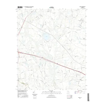 2017 Nevils2017 Print · USGSSouthern Bulloch County is showcased in the late twenty-tens, revealing a landscape of family farmsteads and interconnected wetlands. Researchers can trace local heritage through sites like Union Cemetery, Kennedy Pond, and the rural crossroads of Nevils.
 - 2017 Map of Deans Crossing, 2017 Print
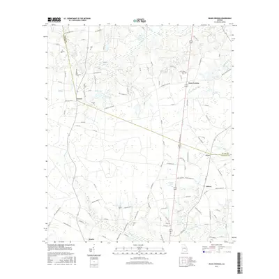 2017 Deans Crossing2017 Print · USGSSoutheast Georgia in the late 2010s reveals a tapestry of long-standing family homesteads and rural crossroads settlements. Genealogists can trace the location of several historic burial sites like Bay Branch Cem and Smith Cem near the headwaters of Bull Cr.
 - 2017 Map of Glissons Millpond, 2017 Print
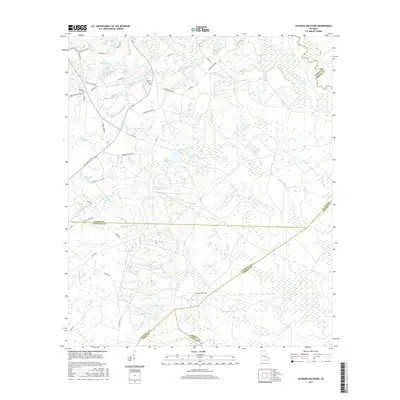 2017 Glissons Millpond2017 Print · USGSGeorgia's southeastern wetlands and timberlands are captured here in the late twenty-teens, showing a unique meeting point of five different counties. Researchers can trace rural family sites and local history at Antioch Cem, Glissons Millpond, and Barnard Cem.
 - 2017 Map of Register, 2017 Print
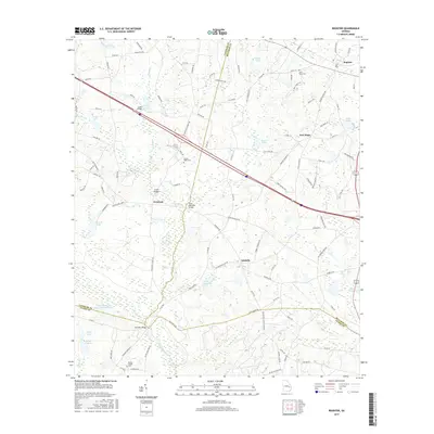 2017 Register2017 Print · USGSBulloch County and the surrounding area appear in this modern era survey as a landscape of small settlements and river crossings. Researchers can trace family history through sites like Saint Pauls Cem and old bridges such as Mike Kennedy Bridge.
 - 2017 Map of Daisy, 2017 Print
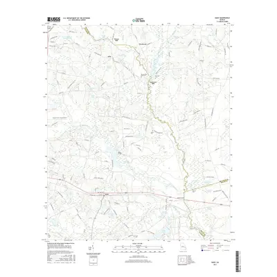 2017 Daisy2017 Print · USGSThe rural borders of Evans and Bulloch counties are documented here in the modern era, centered on the railroad town of Daisy. Researchers can locate several family cemeteries and old milling sites like Anderson Mill and Edwards Cem along the Lotts Creek drainage.
 - 2017 Map of Willie, 2017 Print
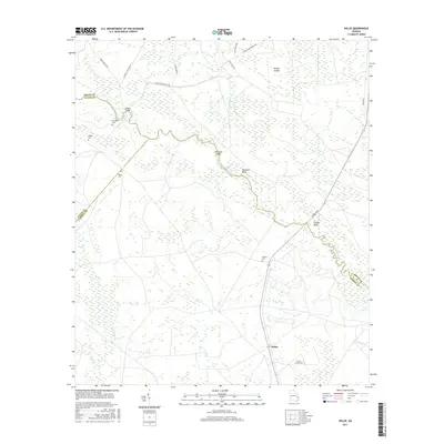 2017 Willie2017 Print · USGSCoastal Georgia's riverine borderlands are documented here in the early twenty-first century, showing the rural reaches of Bryan, Evans, and Liberty counties. Researchers can trace family history at Jerusalem and locate small burial grounds like Salem Cem and Moody Cem near the Canoochee River.
Showing maps 1-25 of 27
Top cities of Evans County
Frequently asked questions
- What are the different types of historical maps available for Evans County?
- What is the oldest map of Evans County?
- Where can I purchase historical maps of Evans County for my home or office?
- Where can I download high-res historical maps of Evans County?
- Are there historical topographic maps available for Evans County?
- Is there historical aerial imagery available for Evans County?
- Where are historical maps of Evans County sourced from?