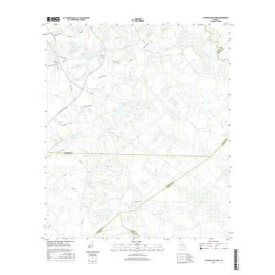
2017 Map of Glissons Millpond
USGS Topo · Published 2017About this map
Canoochee River and its tributary Canoochee Cr define the landscape of this Georgia quadrangle, where five different county boundaries—Evans, Bryan, Tattnall, Liberty, and Long—converge in a complex patchwork of southeastern lowlands. The area's agricultural and rural character is grounded by family-named landmarks and water features like Glissons Millpond, Barnard Mill, and Durrence Pond. Genealogists will find significance in several local burial sites, including Antioch Cem and Sand Hill Cem, which sit near old thoroughfares such as Sunbury Rd and Old State Rte 250. The map documents a sparsely populated region of timber and wetlands where small lakes like Tappins Lake and Cavender Lake break up the wooded terrain along the county lines.
Find a feature on this map
50 named features on this map. Tap any name to fly to it.
Don’t see what you’re looking for? This feature index may not catch every label — zoom into the map to look around manually.
Map Details
Editions of this 2017 Glissons Millpond Map
This is the sole edition of this map. No revisions or reprints were ever made.
Other maps of this area

1918 · Hinesville
USGS Topo · 1:62,500

1919 · Claxton
USGS Topo · 1:62,500

1920 · Pembroke
USGS Topo · 1:62,500

1920 · Glennville
USGS Topo · 1:62,500

1944 · Claxton
USGS Topo · 1:62,500

1944 · Glennville
USGS Topo · 1:62,500

1944 · Hinesville
USGS Topo · 1:62,500

1946 · Brunswick
USGS Topo · 1:250,000

1947 · Savannah
USGS Topo · 1:250,000

1948 · Brunswick
USGS Topo · 1:250,000