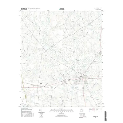
2017 Map of Claxton
USGS Topo · Published 2017About this map
The Canoochee River winds through this coastal plain landscape, defining the boundaries and drainage of a region centered on the historic settlements of Claxton, Hagan, and Bellville. This 2017 survey details the agricultural and industrial character of Evans County, where the Claxton Sewage Treatment Pond and Claxton-Evans County Airport mark modern infrastructure alongside deep-rooted family landmarks. For genealogists, the map provides a dense record of local interments, including the Parker Place Cem, Hodges Cem, and Sikes Chapel Cem. Numerous named water bodies like Strickland Lake, Warnock and Barrow Pond, and Yarbrough Pond reveal a landscape heavily managed for irrigation and recreation. The proximity of Undine and the boundary between Evans and Tattnall counties show the persistence of traditional rural communities connected by a network of established county roads.
Find a feature on this map
185 named features on this map. Tap any name to fly to it.
Don’t see what you’re looking for? This feature index may not catch every label — zoom into the map to look around manually.
Map Details
Editions of this 2017 Claxton Map
This is the sole edition of this map. No revisions or reprints were ever made.
Other maps of this area

1919 · Claxton
USGS Topo · 1:62,500

1920 · Statesboro
USGS Topo · 1:62,500

1943 · Statesboro
USGS Topo · 1:62,500

1944 · Claxton
USGS Topo · 1:62,500

1947 · Savannah
USGS Topo · 1:250,000

1948 · Savannah
USGS Topo · 1:250,000

1950 · Claxton
USGS Topo · 1:62,500

1957 · Macon
USGS Topo · 1:250,000

1957 · Savannah
USGS Topo · 1:250,000

1958 · Macon
USGS Topo · 1:250,000