Loading...
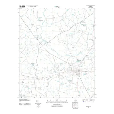
Loading map...1950 Map of Claxton
USGS Topo · Published 1950About this map
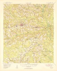
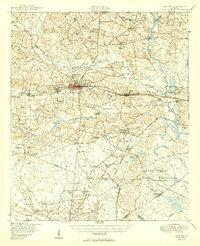
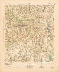
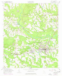
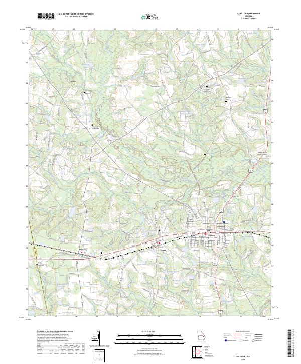
Claxton sits at the heart of this post-war landscape, serving as a primary rail hub for the Seaboard Air Line railroad. This rail corridor connects the neighboring towns of Hagan, Daisy, and Bellville, forming a chain of small agricultural and industrial settlements. The map reveals a dense network of water management and rural industry, evidenced by numerous private and commercial impoundments such as Glisson Millpond, Anderson Pond, and the various De Loach Ponds along the Canoochee River and its tributaries.
Find a feature on this map
110 named features on this map. Tap any name to fly to it.
Don’t see what you’re looking for? This feature index may not catch every label — zoom into the map to look around manually.
Map Details
Date Portrayed1950
Date Published1950
PublisherU.S. Geological Survey
Map TypeTopographic
Scale1:62,500
Physical Dimensions16.92 x 21.01 inches
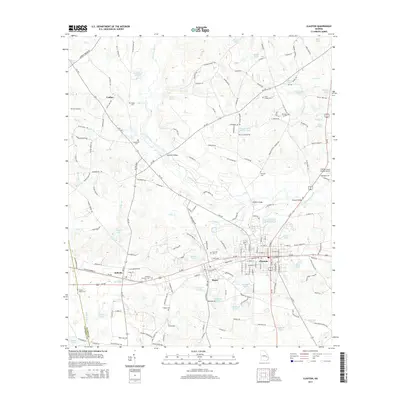
Editions of this 1950 Claxton Map
2 editions found
Historical Maps of Claxton Through Time
9 maps found

Featured Locations
Source Details
SourceU.S. Geological Survey
CopyrightPublic Domain