Old Maps of Canon, Georgia for Metal Detecting
Plan your next treasure hunt with 16 historic maps of Canon. Find old homesites, ghost towns, trails, and gathering spots that may be lost to time — perfect for identifying promising metal detecting locations.
- Locate forgotten sites: Uncover places like long-lost settlements, abandoned rail lines, or gathering spots.
- Plan better hunts: Use map overlays combined with LiDAR or satellite views to narrow in on historically rich areas.
- Made for detectorists: Thousands of hobbyists use these maps to discover relics, coins, and hidden history.
Use these historic maps to boost your research and find new opportunities beneath the surface of Canon.
Canon, GA maps
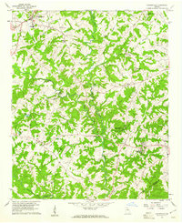
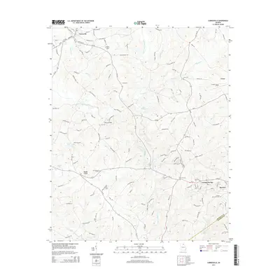
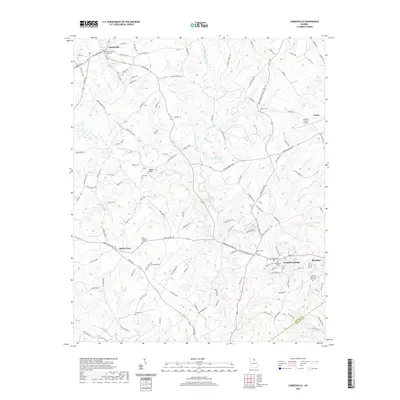
(16)- 1891 Map of Carnesville
 1891 Carnesville1891 Print · USGSNortheast Georgia in the late nineteenth century is documented here as a landscape of small river settlements and emerging rail towns. Genealogists can trace family roots through locations like Jewellville, Fort Lamar, and the river crossing at Braggs Fy.6 unique versions available
 - 1954 Map of Greenville, 1965 Print
 1954 Greenville1965 Print · USGSThe Upstate and Northeast Georgia are captured here during a decade of massive transformation as new reservoirs reshaped the Piedmont. Genealogists and hikers can trace the Appalachian Trail over Brasstown Bald or locate old community centers like Demorest, Westminster, and Royston.3 unique versions available
 - 1958 Map of Greenville
 1958 Greenville1958 Print · USGSThe Piedmont and Blue Ridge foothills come alive in this mid-century survey of the Upstate and Northeast Georgia. Trace the regional rail-and-river economy through the Southern Railway corridors and early reservoir developments like Lake Sidney Lanier.
 - 1959 Map of Carnesville, 1961 Print
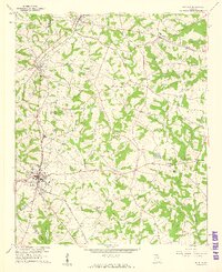
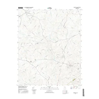
 1959 Carnesville1961 Print · USGSFranklin County in the late fifties shows a rural landscape defined by its river forks and tight-knit communities. Genealogists and historians can trace family locations near Emmanuel College, Liberty Ch, and the crossroads at Sandy Cross.3 unique versions available
 - 1959 Map of Royston, 1961 Print
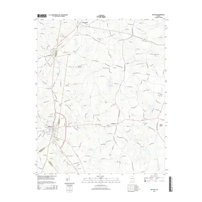
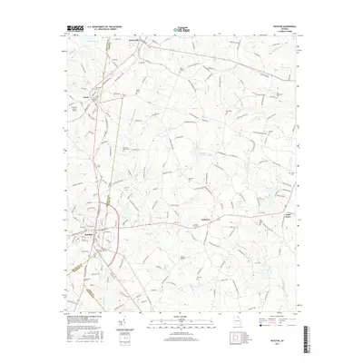
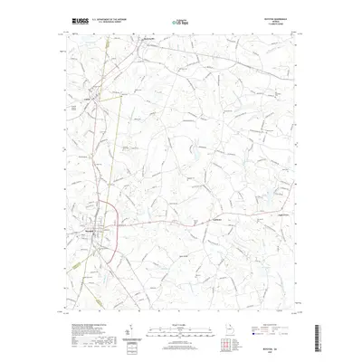
 1959 Royston1961 Print · USGSNortheast Georgia in the late fifties is captured here at the meeting point of three counties during a time of steady rural growth. Researchers can trace family roots through numerous local landmarks, from Rose Hill Cem and Redwine Ch to the crossroads at Goldmine.2 unique versions available
 - 1979 Map of Commerce, 1980 Print
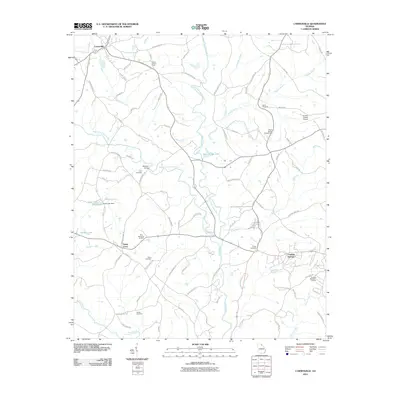
 1979 Commerce1980 Print · USGSThe Georgia and South Carolina Piedmont reached a period of significant regional growth in the late seventies. Genealogists and historians can trace family roots through locations like Blackberry Church, Old Pioneer Cem, and the Gillsville Sch.2 unique versions available
 - 2011 Map of Royston, 2011 Print
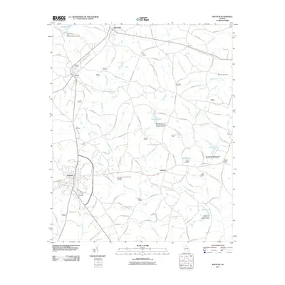 2011 Royston2011 Print · USGSCovers Canon, including Royston, Bowersville, and other nearby areas
 - 2011 Map of Carnesville, 2011 Print
 2011 Carnesville2011 Print · USGSCovers Canon, including Royston, Franklin Springs, and other nearby areas
 - 2014 Map of Carnesville, 2014 Print
 2014 Carnesville2014 Print · USGSCovers Canon, including Royston, Franklin Springs, and other nearby areas
 - 2014 Map of Royston, 2014 Print
 2014 Royston2014 Print · USGSCovers Canon, including Royston, Bowersville, and other nearby areas
 - 2017 Map of Royston, 2017 Print
 2017 Royston2017 Print · USGSCovers Canon, including Royston, Bowersville, and other nearby areas
 - 2017 Map of Carnesville, 2017 Print
 2017 Carnesville2017 Print · USGSCovers Canon, including Royston, Franklin Springs, and other nearby areas
 - 2020 Map of Carnesville, 2020 Print
 2020 Carnesville2020 Print · USGSCovers Canon, including Royston, Franklin Springs, and other nearby areas
 - 2020 Map of Royston, 2020 Print
 2020 Royston2020 Print · USGSCovers Canon, including Royston, Bowersville, and other nearby areas
 - 2024 Map of Carnesville, 2024 Print
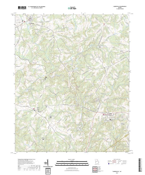 2024 Carnesville2024 Print · USGSFranklin County at the dawn of the 2020s shows a landscape of established colleges and historic county seats centered on the Broad River forks. Genealogists can trace family names through Zidon Cem, Crow Cem, and the grounds of Emmanuel College.
 - 2024 Map of Royston, 2024 Print
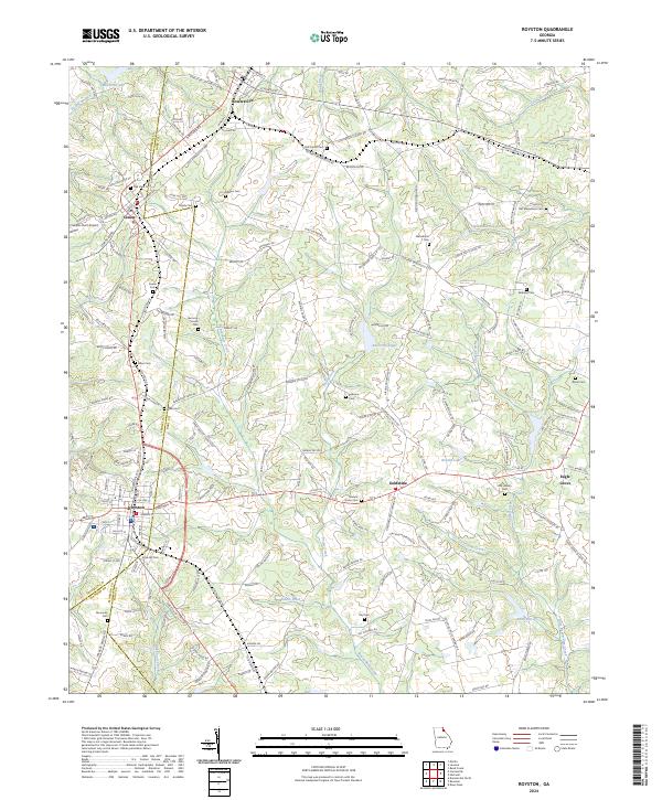 2024 Royston2024 Print · USGSThe tri-county junction of Franklin, Madison, and Hart counties comes alive in this detailed look at Royston and its neighboring rural townships. Genealogists and historians can trace family locations near Goldmine, Bowersville, and along the banks of Beaverdam Creek.
End of results
Showing maps 1-16 of 16
Top cities near Canon
- Toccoa historical maps
- Elberton historical maps
- Hartwell historical maps
- Royston historical maps
- Lavonia historical maps
- Franklin Springs historical maps
See more
Frequently asked questions
- What are the different types of historical maps available for Canon?
- What is the oldest map of Canon?
- Where can I purchase historical maps of Canon for my home or office?
- Where can I download high-res historical maps of Canon?
- Are there historical topographic maps available for Canon?
- Is there historical aerial imagery available for Canon?
- Where are historical maps of Canon sourced from?