2000s (21st Century) Maps of Brunswick, Georgia
Explore 20 historic maps of Brunswick from the 2000s (21st Century). These maps offer a rare glimpse into what life looked like during the 2000s — showing old roads, neighborhoods, homes, and landmarks that have changed or disappeared over time.
Whether you're researching your family's past, planning a metal detecting trip, or studying how Brunswick's landscape evolved across the 2000s, these high-resolution maps are a powerful tool for exploring the history of this region.
- Focus on a specific era: All maps on this page are from the 2000s, giving you a focused view of this time period.
- See what’s changed: Compare century-old streets, trails, and buildings to today's modern landscape using overlays and satellite layers.
- Research with precision: Use these maps for genealogy, historical research, land use analysis, or educational projects.
- View, download, or print: Maps are fully viewable online in high resolution, and can be downloaded or printed for your own records.
Start exploring Brunswick's history through authentic maps from the 2000s. This is your window into the past.
Brunswick, GA maps
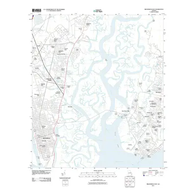
(20)- 2011 Map of Dover Bluff, 2011 Print
 2011 Dover Bluff2011 Print · USGSCovers Brunswick, including Piney Bluff, Dover Bluff, and other nearby areas
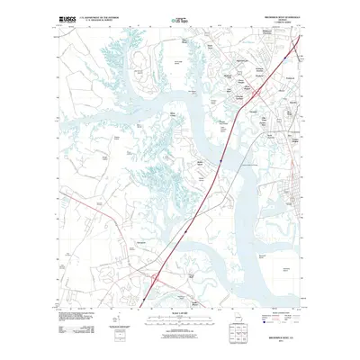
 - 2011 Map of Brunswick East, 2011 Print
 2011 Brunswick East2011 Print · USGSCovers Brunswick, including Saint Simons, Country Club Estates, and other nearby areas
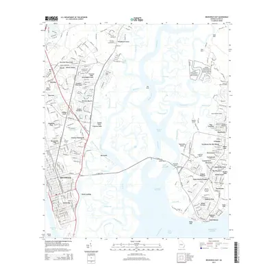
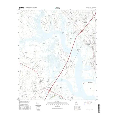
 - 2011 Map of Brunswick West, 2011 Print
 2011 Brunswick West2011 Print · USGSCovers Brunswick, including Dock Junction, Ridgewood Plantation, and other nearby areas
 - 2011 Map of Jekyll Island, 2011 Print
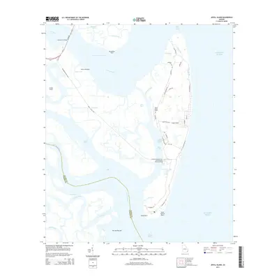
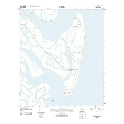 2011 Jekyll Island2011 Print · USGSCovers Brunswick, including Glynn County, Camden County, and other nearby areas
 - 2014 Map of Brunswick East, 2014 Print
 2014 Brunswick East2014 Print · USGSCovers Brunswick, including Saint Simons, Country Club Estates, and other nearby areas
 - 2014 Map of Dover Bluff, 2014 Print
 2014 Dover Bluff2014 Print · USGSCovers Brunswick, including Piney Bluff, Dover Bluff, and other nearby areas
 - 2014 Map of Jekyll Island, 2014 Print
 2014 Jekyll Island2014 Print · USGSCovers Brunswick, including Glynn County, Camden County, and other nearby areas
 - 2014 Map of Brunswick West, 2014 Print
 2014 Brunswick West2014 Print · USGSCovers Brunswick, including Dock Junction, Ridgewood Plantation, and other nearby areas
 - 2017 Map of Jekyll Island, 2017 Print
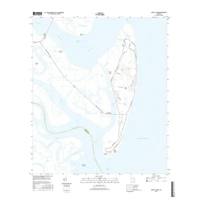 2017 Jekyll Island2017 Print · USGSCovers Brunswick, including Glynn County, Camden County, and other nearby areas
 - 2017 Map of Brunswick East, 2017 Print
 2017 Brunswick East2017 Print · USGSCovers Brunswick, including Saint Simons, Country Club Estates, and other nearby areas
 - 2017 Map of Brunswick West, 2017 Print
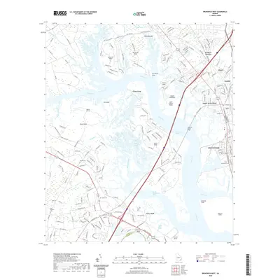
 2017 Brunswick West2017 Print · USGSCovers Brunswick, including Dock Junction, Ridgewood Plantation, and other nearby areas
 - 2017 Map of Dover Bluff, 2017 Print
 2017 Dover Bluff2017 Print · USGSCovers Brunswick, including Piney Bluff, Dover Bluff, and other nearby areas
 - 2020 Map of Brunswick West, 2020 Print
 2020 Brunswick West2020 Print · USGSCovers Brunswick, including Dock Junction, Ridgewood Plantation, and other nearby areas
 - 2020 Map of Brunswick East, 2020 Print
 2020 Brunswick East2020 Print · USGSCovers Brunswick, including Saint Simons, Country Club Estates, and other nearby areas
 - 2020 Map of Jekyll Island, 2020 Print
 2020 Jekyll Island2020 Print · USGSCovers Brunswick, including Glynn County, Camden County, and other nearby areas
 - 2020 Map of Dover Bluff, 2020 Print
 2020 Dover Bluff2020 Print · USGSCovers Brunswick, including Piney Bluff, Dover Bluff, and other nearby areas
 - 2024 Map of Brunswick East, 2024 Print
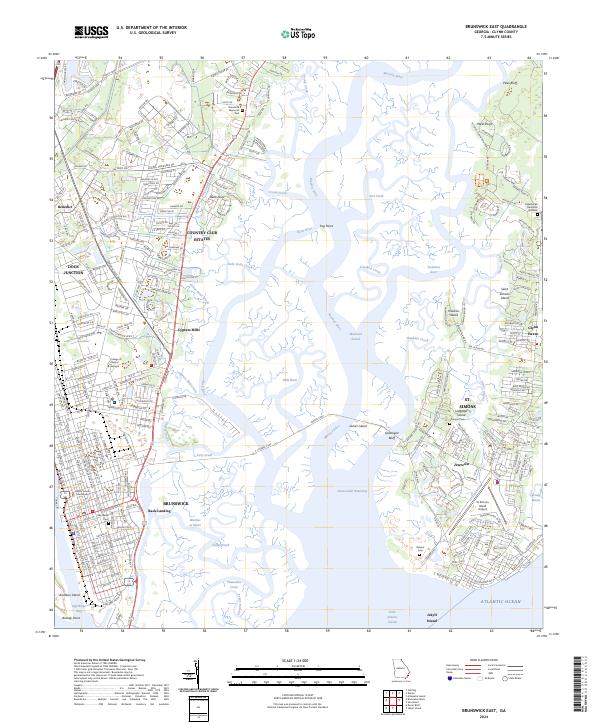 2024 Brunswick East2024 Print · USGSThe Georgia coast near the turn of the twenty-first century reveals a intricate landscape of marshlands and maritime settlements. Researchers can trace historic sites like Fort Frederica National Monument and locate family burial grounds such as Stranger Cem and Oak Grove Cem.
 - 2024 Map of Brunswick West, 2024 Print
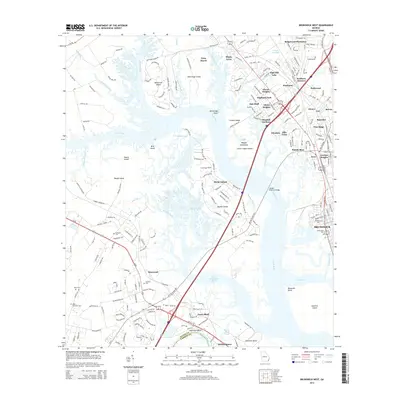
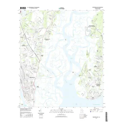
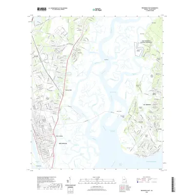
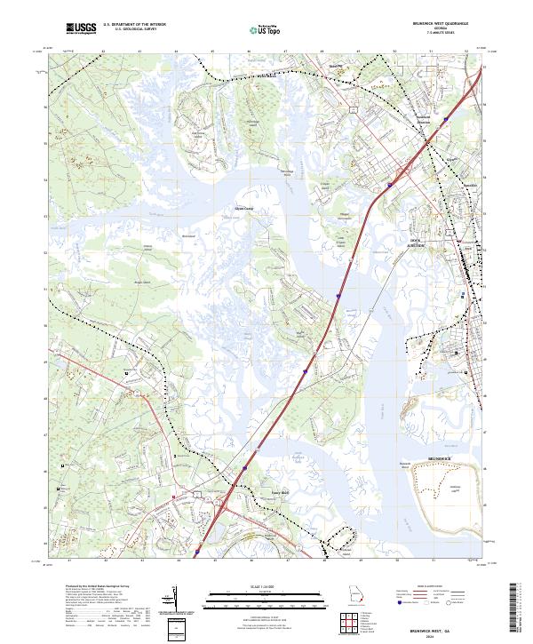 2024 Brunswick West2024 Print · USGSThe marshlands and river junctions west of Brunswick come to life in this contemporary survey of the Georgia coast. Local researchers can trace family sites like Maxwells Cem or explore the rail hubs at Southern Junction and Dock Junction.
 - 2024 Map of Jekyll Island, 2024 Print
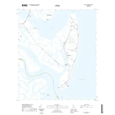
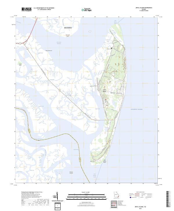 2024 Jekyll Island2024 Print · USGSJekyll Island is shown in its contemporary coastal form, caught between the tidal marshes and the Atlantic. Researchers can trace historic family landmarks like the DuBignon Cem or follow the path of Old Plantation Rd across the island.
 - 2024 Map of Dover Bluff, 2024 Print
 2024 Dover Bluff2024 Print · USGSCamden County and Glynn County meet at the Georgia coast in the late 2010s, where tidal rivers wind through expansive salt marshes. Genealogists and historians can trace local family landmarks like Black Hammock Cem, Hazzards Neck, and the Mount Sinai Missionary Baptist Church.
End of results
Showing maps 1-20 of 20
Top cities near Brunswick
- Saint Simons historical maps
- Country Club Estates historical maps
- Dock Junction historical maps
- Darien historical maps
- Woodbine historical maps
Top neighborhoods of Brunswick
- Magnolia Park historical maps
- McIntyre Court historical maps
- Glynnvilla historical maps
- Gordon Oaks Homes historical maps
- Suburban Estates historical maps
- College Park historical maps
See more
Frequently asked questions
- What are the different types of historical maps available for Brunswick?
- What is the oldest map of Brunswick?
- Where can I purchase historical maps of Brunswick for my home or office?
- Where can I download high-res historical maps of Brunswick?
- Are there historical topographic maps available for Brunswick?
- Is there historical aerial imagery available for Brunswick?
- Where are historical maps of Brunswick sourced from?