Old Maps of Oakwood, Georgia for Academic Research
Study the evolution of Oakwood with 30 high-resolution historic maps. Whether you're teaching, researching, or modeling changes in land use, these maps provide essential visual documentation of urban, environmental, and geographic change.
- Analyze long-term change: Track patterns in development, transportation, and natural features.
- Ideal for environmental or urban studies: Support academic projects with primary historical map data.
- Use in the classroom or lab: Educators and researchers rely on these maps to bring historical context to life.
These maps are a powerful tool for teaching, research, and visualizing how Oakwood has changed over the decades.
Oakwood, GA maps
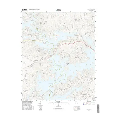
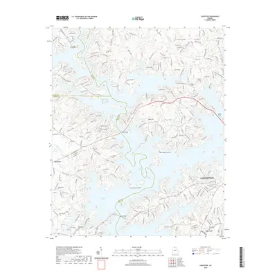
(30)- 1891 Map of Gainesville
 1891 Gainesville1891 Print · USGSNorth Georgia in the early 1890s appears as a landscape of rail-junction towns and river-powered industry centered on Hall and Jackson Counties. Researchers can trace historic river crossings like Browns Bridge and Keiths Fy, or locate nineteenth-century landmarks such as Oconee Mills and Flowery Branch.5 unique versions available
 - 1954 Map of Greenville, 1965 Print
 1954 Greenville1965 Print · USGSThe Upstate and Northeast Georgia are captured here during a decade of massive transformation as new reservoirs reshaped the Piedmont. Genealogists and hikers can trace the Appalachian Trail over Brasstown Bald or locate old community centers like Demorest, Westminster, and Royston.3 unique versions available
 - 1958 Map of Greenville
 1958 Greenville1958 Print · USGSThe Piedmont and Blue Ridge foothills come alive in this mid-century survey of the Upstate and Northeast Georgia. Trace the regional rail-and-river economy through the Southern Railway corridors and early reservoir developments like Lake Sidney Lanier.
 - 1964 Map of Chestnut Mountain, 1965 Print
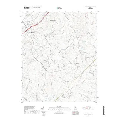
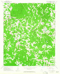 1964 Chestnut Mountain1965 Print · USGSHall County’s rural landscape is captured in the mid-1960s, showing a community defined by its creeks, ridges, and rail lines. Researchers can trace family sites like Blackshear Place or locate local landmarks including Tanner Mill and South Hall Sch.3 unique versions available
 - 1964 Map of Gainesville, 1965 Print
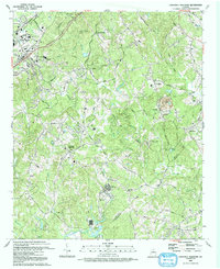
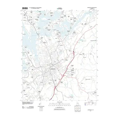
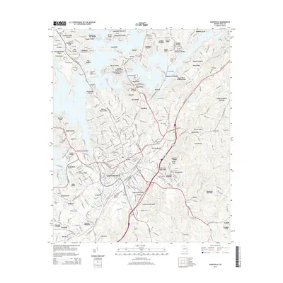
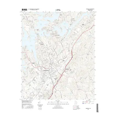
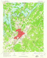 1964 Gainesville1965 Print · USGSGainesville and Hall County are shown here in the mid-1960s as the community expanded around the waters of the newly formed reservoir. Researchers can trace the industrial footprint of the Gainesville Mill, locate family plots at Alta Vista Cemetery, and find old schools like Air Line Sch.4 unique versions available
 - 1964 Map of Chestatee, 1965 Print
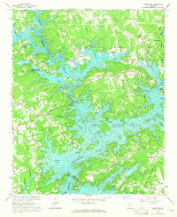 1964 Chestatee1965 Print · USGSThe Hall and Forsyth County borderland is transformed by the rising waters of Lake Sidney Lanier in the mid-sixties. Genealogists can trace family names at Bethel Tabernacle, Mayfield Ch, and Sardis Sch along the sprawling river-bay shoreline.3 unique versions available
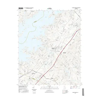
 - 1964 Map of Flowery Branch, 1965 Print
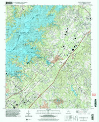
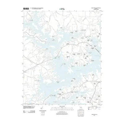
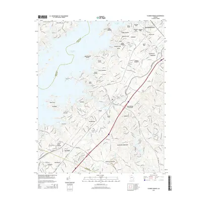
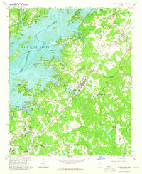 1964 Flowery Branch1965 Print · USGSNorth Georgia’s Hall County was undergoing a major transformation in the 1960s as the waters of Lake Sidney Lanier reshaped the terrain. Genealogists and local historians can trace the foundations of communities like Flowery Branch and Oakwood, alongside rural landmarks like Zion Hill Ch and Oscarville.4 unique versions available
 - 1979 Map of Commerce, 1980 Print
 1979 Commerce1980 Print · USGSThe Georgia and South Carolina Piedmont reached a period of significant regional growth in the late seventies. Genealogists and historians can trace family roots through locations like Blackberry Church, Old Pioneer Cem, and the Gillsville Sch.2 unique versions available
 - 1992 Map of Chestnut Mountain, 1993 Print
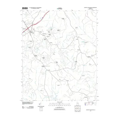
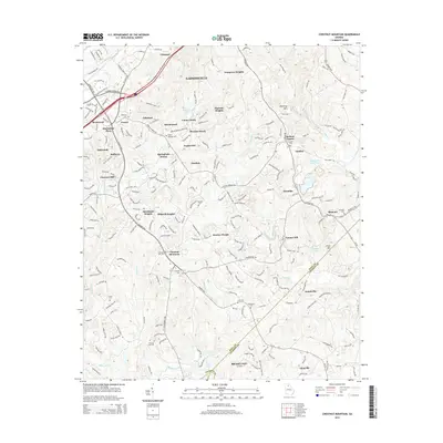
 1992 Chestnut Mountain1993 Print · USGSHall County and Jackson County meet in the early nineties as educational centers and motorsports venues began to reshape this Georgia landscape. Genealogists and historians can trace family ties through Tanner Mill, Hopewell Cem, and Cross Plains Cem.
 - 1999 Map of Flowery Branch, 2003 Print
 1999 Flowery Branch2003 Print · USGSThe shorelines of Lake Sidney Lanier and the growing communities of Hall County are captured here just before the millennium. Genealogists can trace family landmarks like Bethel Ch and Oakwood Cem or locate old crossings at Vanns Tavern Access Point.
 - 2011 Map of Flowery Branch, 2011 Print
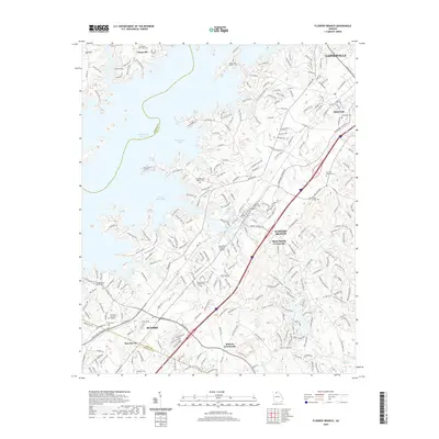
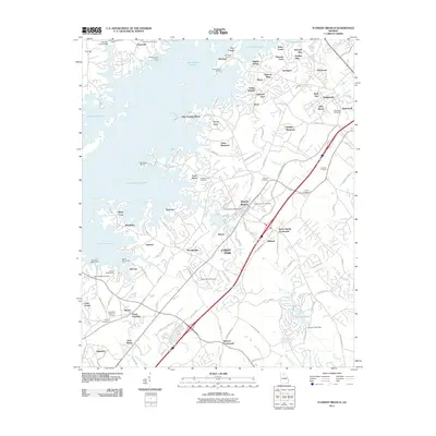 2011 Flowery Branch2011 Print · USGSCovers Oakwood, including Gainesville, Buford, and other nearby areas
 - 2011 Map of Chestnut Mountain, 2011 Print
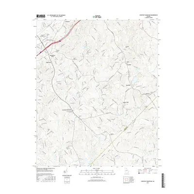
 2011 Chestnut Mountain2011 Print · USGSCovers Oakwood, including Gainesville, Braselton, and other nearby areas
 - 2011 Map of Gainesville, 2011 Print
 2011 Gainesville2011 Print · USGSCovers Oakwood, including Gainesville, Bailey, and other nearby areas
 - 2011 Map of Chestatee, 2011 Print
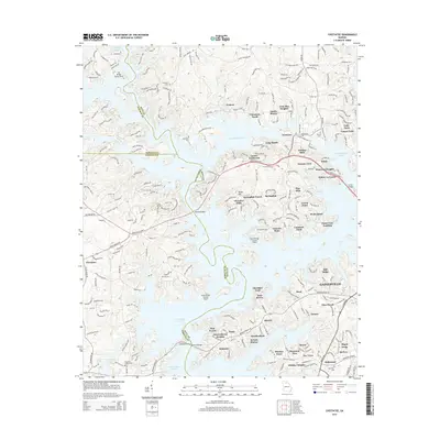
 2011 Chestatee2011 Print · USGSCovers Oakwood, including Gainesville, Mill Ridge, and other nearby areas
 - 2014 Map of Gainesville, 2014 Print
 2014 Gainesville2014 Print · USGSCovers Oakwood, including Gainesville, Bailey, and other nearby areas
 - 2014 Map of Chestatee, 2014 Print
 2014 Chestatee2014 Print · USGSCovers Oakwood, including Gainesville, Mill Ridge, and other nearby areas
 - 2014 Map of Flowery Branch, 2014 Print
 2014 Flowery Branch2014 Print · USGSCovers Oakwood, including Gainesville, Buford, and other nearby areas
 - 2014 Map of Chestnut Mountain, 2014 Print
 2014 Chestnut Mountain2014 Print · USGSCovers Oakwood, including Gainesville, Braselton, and other nearby areas
 - 2017 Map of Chestnut Mountain, 2017 Print
 2017 Chestnut Mountain2017 Print · USGSCovers Oakwood, including Gainesville, Braselton, and other nearby areas
 - 2017 Map of Gainesville, 2017 Print
 2017 Gainesville2017 Print · USGSCovers Oakwood, including Gainesville, Bailey, and other nearby areas
 - 2017 Map of Chestatee, 2017 Print
 2017 Chestatee2017 Print · USGSCovers Oakwood, including Gainesville, Mill Ridge, and other nearby areas
 - 2017 Map of Flowery Branch, 2017 Print
 2017 Flowery Branch2017 Print · USGSCovers Oakwood, including Gainesville, Buford, and other nearby areas
 - 2020 Map of Chestnut Mountain, 2020 Print
 2020 Chestnut Mountain2020 Print · USGSCovers Oakwood, including Gainesville, Braselton, and other nearby areas
 - 2020 Map of Flowery Branch, 2020 Print
 2020 Flowery Branch2020 Print · USGSCovers Oakwood, including Gainesville, Buford, and other nearby areas
 - 2020 Map of Chestatee, 2020 Print
 2020 Chestatee2020 Print · USGSCovers Oakwood, including Gainesville, Mill Ridge, and other nearby areas
Showing maps 1-25 of 30
Top cities near Oakwood
- Johns Creek historical maps
- Gainesville historical maps
- Duluth historical maps
- Sugar Hill historical maps
- Suwanee historical maps
- Winder historical maps
See more
Top neighborhoods of Oakwood
- Vista Brook historical maps
- Quail Run historical maps
- Blackshear Place historical maps
- Briarwood historical maps
Frequently asked questions
- What are the different types of historical maps available for Oakwood?
- What is the oldest map of Oakwood?
- Where can I purchase historical maps of Oakwood for my home or office?
- Where can I download high-res historical maps of Oakwood?
- Are there historical topographic maps available for Oakwood?
- Is there historical aerial imagery available for Oakwood?
- Where are historical maps of Oakwood sourced from?