2000s (21st Century) Maps of Hancock County, Georgia
Explore 85 historic maps of Hancock County from the 2000s (21st Century). These maps offer a rare glimpse into what life looked like during the 2000s — showing old roads, neighborhoods, homes, and landmarks that have changed or disappeared over time.
Whether you're researching your family's past, planning a metal detecting trip, or studying how Hancock County's landscape evolved across the 2000s, these high-resolution maps are a powerful tool for exploring the history of this region.
- Focus on a specific era: All maps on this page are from the 2000s, giving you a focused view of this time period.
- See what’s changed: Compare century-old streets, trails, and buildings to today's modern landscape using overlays and satellite layers.
- Research with precision: Use these maps for genealogy, historical research, land use analysis, or educational projects.
- View, download, or print: Maps are fully viewable online in high resolution, and can be downloaded or printed for your own records.
Start exploring Hancock County's history through authentic maps from the 2000s. This is your window into the past.
Hancock County, GA maps
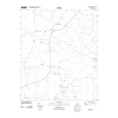
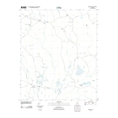
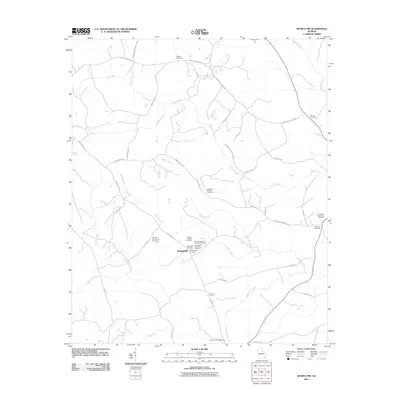
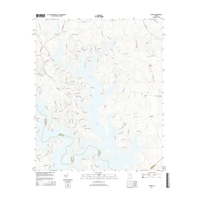
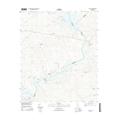
(85)- 2011 Map of Liberty, 2011 Print
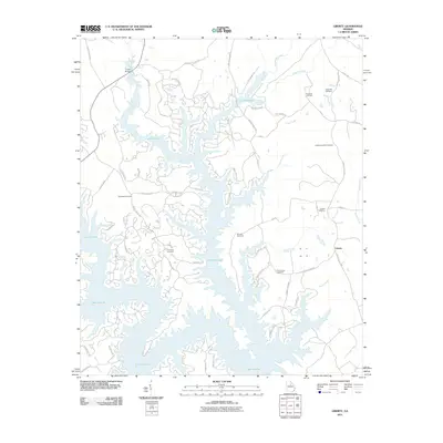 2011 Liberty2011 Print · USGSCovers Hancock County, including Liberty, Lake Oconee, and other nearby areas
 - 2011 Map of Lake Sinclair East, 2011 Print
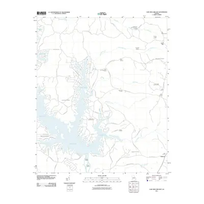 2011 Lake Sinclair East2011 Print · USGSCovers Hancock County, including Milledgeville, Sandtown, and other nearby areas
 - 2011 Map of Lake Sinclair West, 2011 Print
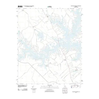 2011 Lake Sinclair West2011 Print · USGSCovers Hancock County, including Milledgeville, Flat Rock, and other nearby areas
 - 2011 Map of Friendship, 2011 Print
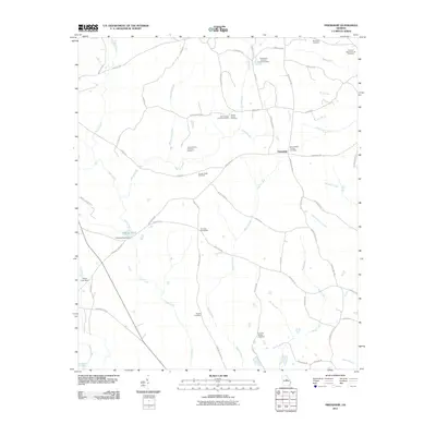 2011 Friendship2011 Print · USGSCovers Hancock County, including Pleasant Grove, Griffin, and other nearby areas
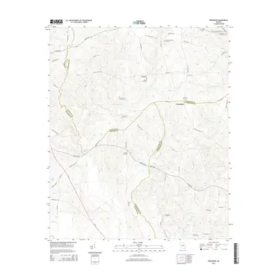
 - 2011 Map of Devereux, 2011 Print
 2011 Devereux2011 Print · USGSCovers Hancock County, including Beulah, Underwood, and other nearby areas
 - 2011 Map of Shoulderbone, 2011 Print
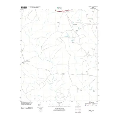
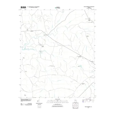 2011 Shoulderbone2011 Print · USGSCovers Hancock County, including Howell Grove, Shoulderbone, and other nearby areas
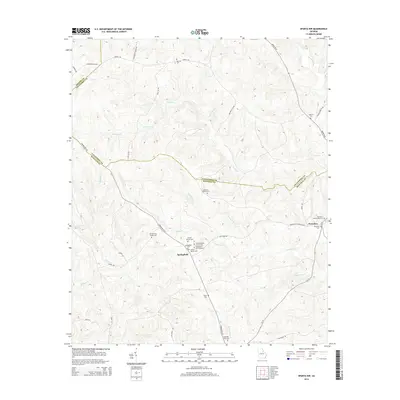
 - 2011 Map of Rockville, 2011 Print
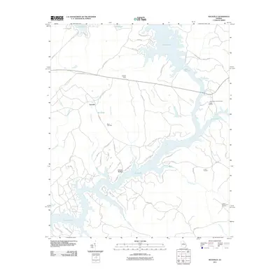 2011 Rockville2011 Print · USGSCovers Hancock County, including Oconee Springs, Rockville, and other nearby areas
 - 2011 Map of White Plains, 2011 Print
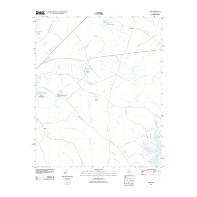
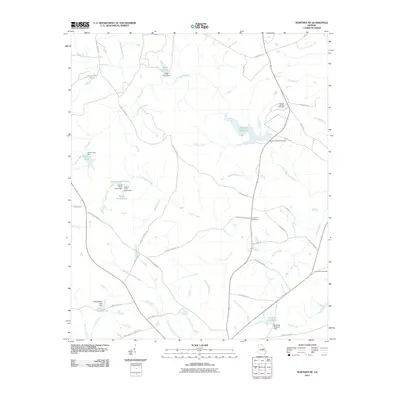
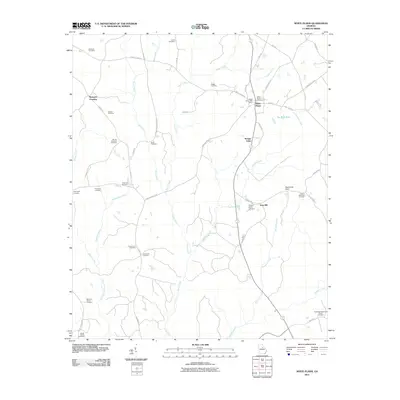 2011 White Plains2011 Print · USGSCovers Hancock County, including White Plains, Mosquito Crossing, and other nearby areas
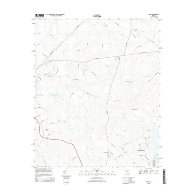
 - 2011 Map of Meda, 2011 Print
 2011 Meda2011 Print · USGSCovers Hancock County, including Eatonton, Crooked Creek, and other nearby areas
 - 2011 Map of Warthen NW, 2011 Print
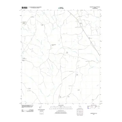 2011 Warthen NW2011 Print · USGSCovers Hancock County, including Washington County, United States, and other nearby areas
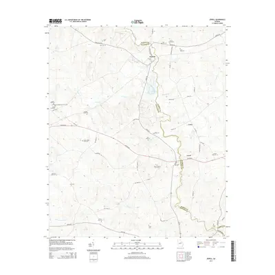
 - 2011 Map of Jewell, 2011 Print
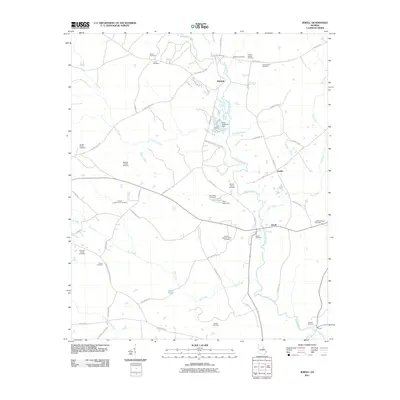 2011 Jewell2011 Print · USGSCovers Hancock County, including Jewell, Mayfield, and other nearby areas
 - 2011 Map of Sparta NE, 2011 Print
 2011 Sparta NE2011 Print · USGSCovers Hancock County, including Powelton, Warren County, and other nearby areas
 - 2011 Map of Deepstep, 2011 Print
 2011 Deepstep2011 Print · USGSCovers Hancock County, including Deepstep, Goat Town, and other nearby areas
 - 2011 Map of Warthen NE, 2011 Print
 2011 Warthen NE2011 Print · USGSCovers Hancock County, including Washington County, Glascock County, and other nearby areas
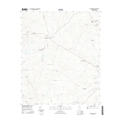
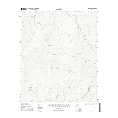
 - 2011 Map of Mitchell, 2011 Print
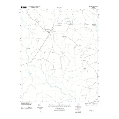 2011 Mitchell2011 Print · USGSCovers Hancock County, including Mitchell, Agricola, and other nearby areas
 - 2011 Map of Sparta, 2011 Print
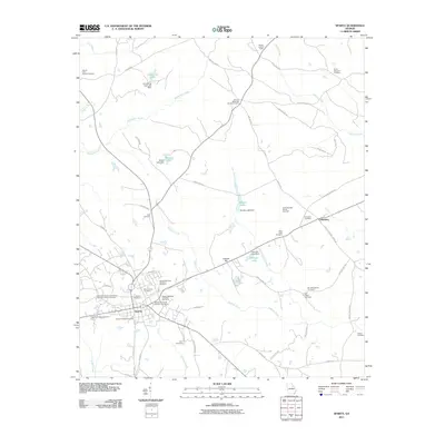 2011 Sparta2011 Print · USGSCovers Hancock County, including Sparta, Dixie, and other nearby areas
 - 2011 Map of Sparta NW, 2011 Print
 2011 Sparta NW2011 Print · USGSCovers Hancock County, including Springfield, Greene County, and other nearby areas
 - 2014 Map of Shoulderbone, 2014 Print
 2014 Shoulderbone2014 Print · USGSCovers Hancock County, including Howell Grove, Shoulderbone, and other nearby areas
 - 2014 Map of Jewell, 2014 Print
 2014 Jewell2014 Print · USGSCovers Hancock County, including Jewell, Mayfield, and other nearby areas
 - 2014 Map of Sparta NW, 2014 Print
 2014 Sparta NW2014 Print · USGSCovers Hancock County, including Springfield, Greene County, and other nearby areas
 - 2014 Map of Meda, 2014 Print
 2014 Meda2014 Print · USGSCovers Hancock County, including Eatonton, Crooked Creek, and other nearby areas
 - 2014 Map of Liberty, 2014 Print
 2014 Liberty2014 Print · USGSCovers Hancock County, including Liberty, Lake Oconee, and other nearby areas
 - 2014 Map of Warthen NW, 2014 Print
 2014 Warthen NW2014 Print · USGSCovers Hancock County, including Washington County, United States, and other nearby areas
 - 2014 Map of Friendship, 2014 Print
 2014 Friendship2014 Print · USGSCovers Hancock County, including Pleasant Grove, Griffin, and other nearby areas
 - 2014 Map of Rockville, 2014 Print
 2014 Rockville2014 Print · USGSCovers Hancock County, including Oconee Springs, Rockville, and other nearby areas
Showing maps 1-25 of 85
Top cities of Hancock County
Frequently asked questions
- What are the different types of historical maps available for Hancock County?
- What is the oldest map of Hancock County?
- Where can I purchase historical maps of Hancock County for my home or office?
- Where can I download high-res historical maps of Hancock County?
- Are there historical topographic maps available for Hancock County?
- Is there historical aerial imagery available for Hancock County?
- Where are historical maps of Hancock County sourced from?